Sutro Tower Trail
- 0.2 mi
- round trip
- 13 ft
- climb
- Singletrack
- surface
- Out and back
- route
- Jan–Dec
- best months
Sutro Tower Trail is a short mountain biking route in San Francisco, about 0.3 miles from the community of Forest Knolls. The trail is an out-and-back, roughly 0.4 miles long, with a low point of 781 feet and a high of 820 feet. The climb is rated moderate, and the one-way elevation gain is 13 feet. Late summer and early fall are the most comfortable times to ride. Typical averages from a nearby weather station in downtown San Francisco show September highs around 70°F with lows near 56°F and only about one wet day in the month. That station sits about 670 feet lower than the trail, so temperatures on the route run cooler. Several other routes start close by. North Ridge Trail and Historic Trail are each about 0.3 miles away, and Steep Ravine Trail is about 0.4 miles off. Climbers can find Main Cliff Band about 1.1 miles away.
Local outfitters
- Parkwide Bike and Surrey Rentals4 mi away
- Half Moon Bay Kayak Company17 mi away
Not on Roamze yet. Their page has how to reach them.
 North Ridge TrailHikingPhoto: ABIJXY, CC BY 3.0 (via Wikimedia Commons)0.3 mi
- Historic TrailHikingPhoto: ABIJXY, CC BY 3.0 (via Wikimedia Commons)0.3 mi
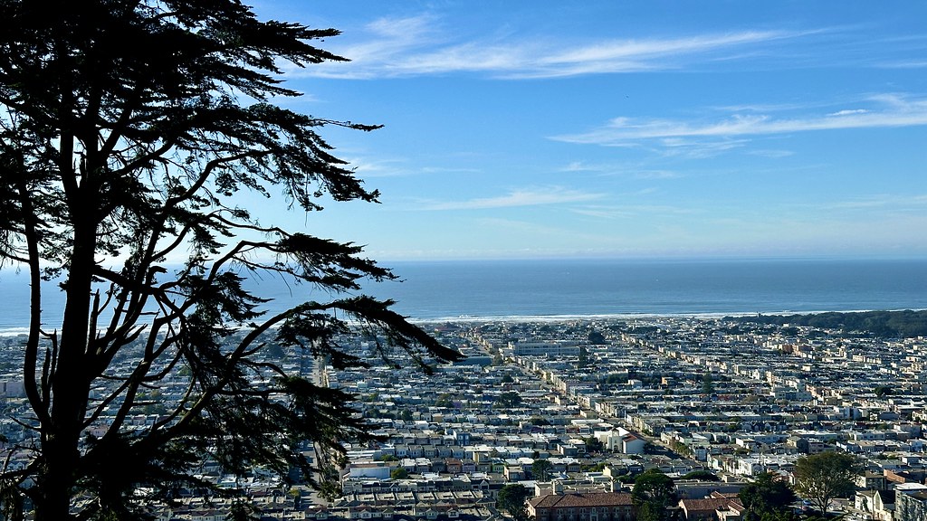 Steep Ravine TrailHikingPhoto: lamblukas, CC BY 2.0 (via Flickr)0.4 mi
 The Unnatural Act CaveRock climbingPhoto: Joe Passe, CC BY-SA 2.0 (via Flickr)1.1 mi
- Main Cliff BandRock climbingPhoto: Joe Passe, CC BY-SA 2.0 (via Flickr)1.1 mi
- Beaver Street WallRock climbing1.1 mi
- Aquatic Park Cove, Black Point Overnight Anchoring, Sailing Vessels only (auxiliary engine OK)Pier fishing4 mi
- Esplenade BeachCamping7.3 mi
Source: Roamze catalog (indexable pages within 10 miles, PostGIS distance)
- Sutro Tower TrailMountain biking · Next door
- Spanish TrailMountain biking · ~15 min drive
- MileMountain biking · ~22 min drive
- Caldecott FlowMountain biking · ~25 min drive
- Sutro Tower TrailMountain biking · Next door
- Miwok TrailMountain biking · ~15 min drive
- Dimond Canyon TrailMountain biking · ~23 min drive
- Old Cañon TrailMountain biking · ~23 min drive
- Miwok TrailMountain biking · ~16 min drive
- Caldecott FlowMountain biking · ~25 min drive
Also worth it near here
 Mount SutroSummit · Next doorPhoto: Hourann Bosci from Perth, Australia, CC BY-SA 2.0 (via Wikimedia Commons)
- North Ridge TrailHiking · Next doorPhoto: ABIJXY, CC BY 3.0 (via Wikimedia Commons)
- The Unnatural Act CaveRock climbing · ~2 min drivePhoto: Joe Passe, CC BY-SA 2.0 (via Flickr)
 Huntington FallsWaterfall · ~2 min drivePhoto: King of Hearts, CC BY-SA 4.0 (via Wikimedia Commons)
Best time to visit Sutro Tower Trail
Best months: Year-round. Best months have typical highs of 55–85 °F, lows of 30 °F or warmer (32 °F where the station doesn't record snow), at most one snowy day and no more than 12 wet days.
Jan
58° / 47°
11 wet
Feb
60° / 48°
11 wet
Mar
62° / 49°
11 wet
Apr
63° / 50°
7 wet
May
64° / 51°
4 wet
Jun
67° / 53°
2 wet
Jul
66° / 54°
1 wet
Aug
68° / 55°
1 wet
Sep
70° / 56°
1 wet
Oct
70° / 54°
4 wet
Nov
64° / 51°
8 wet
Dec
58° / 47°
11 wet
Typical high / low (°F) and days with rain or snow, 1991–2020. Measured at San Francisco Dwtn, CA, 1.8 mi away at 150 ft. The station sits about 700 ft lower than this place, so expect it a little cooler here. This station doesn't record snowfall. Source: NOAA NCEI U.S. Climate Normals 1991–2020.
Map and trail data © OpenStreetMap contributors
