Camp Jones Gulch YMCA
Campground
Campground · 7.9 mi from the trail
The Sierra Morena Trail is a short, easy mountain biking route in El Corte de Madera Creek Open Space Preserve, on regional agency land in California. The trail runs about half a mile from start to finish and rises roughly 36 feet from its low point of 2,168 feet to a high of 2,215 feet. It is an out-and-back, so the total climb is about 72 feet. Late spring through early fall is the most comfortable time to ride. Typical averages from a nearby weather station show highs in the mid-60s to low 80s from May through September, with only one or two wet days a month from July through September. Winter brings highs around 55°F and about 14 wet days a month, so the trail works well as a quick ride year-round. Several other trails sit close by. The Oljon Trail is about 0.1 mile away and the Steam Donkey Trail about 0.2 mile. Hikers can reach the Skyline Trail within 0.3 mile, and the Gordon Mill Trail is about 0.6 mile off.
Camp Jones Gulch YMCA
Campground
 If it rainsSPUCLA, CC BY-SA 4.0 · Wikimedia Commons
Places © OpenStreetMap contributors · Photos: SPUCLA, CC BY-SA 4.0 (commons)
More in PescaderoNot on Roamze yet. Their page has how to reach them.
 Skyline TrailHikingPhoto: dbaron, CC BY-SA 2.0 (via Flickr)0.3 miSpring Board TrailHikingPhoto: dbaron, CC BY-SA 2.0 (via Flickr)0.6 mi
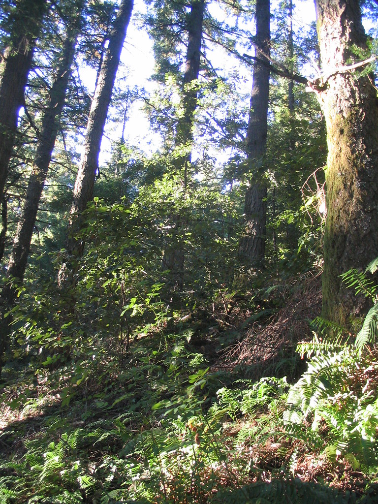 Gordon Mill TrailHikingPhoto: dbaron, CC BY-SA 2.0 (via Flickr)0.6 mi
Source: Roamze catalog (indexable pages within 10 miles, PostGIS distance)
Also worth it near here
Best months: April–November. Best months have typical highs of 55–85 °F, lows of 30 °F or warmer (32 °F where the station doesn't record snow), at most one snowy day and no more than 12 wet days.
Jan
55° / 41°
14 wet
Feb
55° / 40°
14 wet
Mar
58° / 41°
13 wet
Apr
62° / 43°
10 wet
May
67° / 47°
7 wet
Jun
75° / 52°
3 wet
Jul
81° / 58°
1 wet
Aug
81° / 59°
1 wet
Sep
79° / 57°
2 wet
Oct
71° / 52°
6 wet
Nov
60° / 44°
11 wet
Dec
54° / 40°
15 wet
Typical high / low (°F) and days with rain or snow, 1991–2020. Measured at Skyline Ridge Preserve, CA, 8.7 mi away at 2,270 ft. This station doesn't record snowfall. Source: NOAA NCEI U.S. Climate Normals 1991–2020.
Map and trail data © OpenStreetMap contributors
