Sabrina Campground
Campground
Campground · 2.3 mi from the trail
Alert in the area
The Forest Service lists 3 alerts for Inyo National Forest.
Help Halt Golden Mussel Invasion
Agency alert covering Inyo National Forest · USFS · Inyo National Forest
Ansel Adams and John Muir Wilderness Campfire Restrictions
Agency alert covering Inyo National Forest · Order 05-04-50-25-04 · USFS · Inyo National Forest
Golden Trout and Hoover Wilderness Campfire Restrictions
Agency alert covering Inyo National Forest · Order 05-04-50-25-05 · USFS · Inyo National Forest
As of · Source: USFS · Inyo National Forest. Agencies don't list every closure — check before you go.
Sabrina Basin is a mountain biking route in California's Inyo National Forest, within the White Mountain Ranger District. The Forest Service manages the land, and the route rises from about 9,171 feet to about 10,833 feet over roughly 4.8 miles, with a total elevation gain of 1,746 feet. The climb is a steady one, and the route's length and gain make it a natural pairing with an overnight stay. Sabrina Campground sits about a mile away, and North Lake Campground is about 1.5 miles off. Tyee Lakes, another mountain biking area, is also about 1.5 miles away. The surrounding area offers plenty to pair with a ride. Middle Fork Bishop Creek, a canoeing spot, is under a mile away, and Grass Lake Outlet is a hike about a mile off. Climbers can head to Cardinal Pinnacle, about 1.8 miles away, and anglers can try Table Mountain, about 2.6 miles away.
Sabrina Campground
Campground
Cardinal Cafe
Restaurant
Paiute-Shoshone Indian Cultural Center
Museum
Places © OpenStreetMap contributors
More in Bishop Grass Lake OutletHikingPhoto: RuggyBearLA, CC BY 2.0 (via Flickr)1 mi
 Tyee LakesMountain bikingPhoto: daveynin from United States, CC BY 2.0 (via Wikimedia Commons)1.5 mi
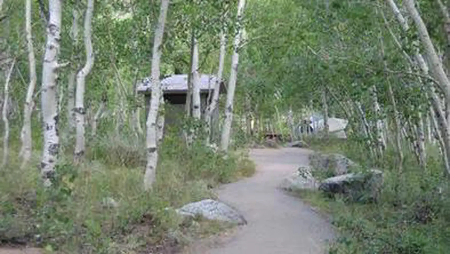 Table MountainRiver fishing2.6 mi
Source: Roamze catalog (indexable pages within 10 miles, PostGIS distance)
Tyee LakesMountain biking · ~2 min drivePhoto: daveynin from United States, CC BY 2.0 (via Wikimedia Commons) Tamarack BenchMountain biking · ~32 min drivePhoto: Don Graham from Redlands, CA, USA - God bless it!, CC BY-SA 2.0 (via Wikimedia Commons)
 Tamarack CutoffMountain biking · ~33 min drivePhoto: inkknife_2000 (7.5 million views +), CC BY-SA 2.0 (via Wikimedia Commons)
Map and trail data © OpenStreetMap contributors

