Rock Creek Mill Site
Campground
Campground · 0.6 mi from the trail
Alert in the area
The Forest Service lists an alert for Tahoe National Forest.
Camping and Campfire Restrictions-Truckee and Sierraville Districts
Agency alert covering Tahoe National Forest · Order 17-25-05 · USFS · Tahoe National Forest
As of · Source: USFS · Tahoe National Forest. Agencies don't list every closure — check before you go.
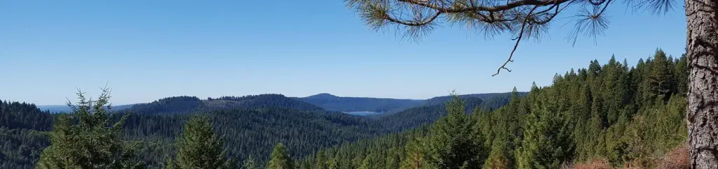
Dascombe Trail is a short, easy mountain biking route in California's Tahoe National Forest, within the Yuba River Ranger District. The trail is an out-and-back that covers about a mile, with a low point of 3,764 feet and a high of 3,825 feet, a climb of about 41 feet one way. The Forest Service manages the land. The most comfortable months for a ride are typically late spring and early fall. Typical averages from a nearby weather station in Nevada City show May highs around 71°F and October highs around 71°F, with only a few wet days in each. That station sits roughly 1,000 feet below the trail, so temperatures on the route run cooler. Zipper and Harmony Trail are both about 0.6 miles away. Climbers can head to South Yuba River: Edward's Crossing, about 3.5 miles off, and paddlers to Humbug Creek, about 4.3 miles away.
Rock Creek Mill Site
Campground
Firehouse Number 1 Museum
Museum
Places © OpenStreetMap contributors, Places © Overture Maps Foundation
More in Nevada CityNot on Roamze yet. Their page has how to reach them.
 White CloudCampingPhoto: Recreation.gov (RIDB) / public domain4.5 mi
Source: Roamze catalog (indexable pages within 10 miles, PostGIS distance)
 MeyersMountain biking · Next doorPhoto: blmcalifornia, Public domain (via Wikimedia Commons)DascombeMountain biking · ~1 min drivePhoto: blmcalifornia, Public domain (via Wikimedia Commons)PfeifferMountain biking · ~1 min drivePhoto: blmcalifornia, Public domain (via Wikimedia Commons)
 Tie_4_powerlineMountain biking · ~1 min drivePhoto: blmcalifornia, Public domain (via Wikimedia Commons)
 NuthatchMountain biking · ~2 min drivePhoto: blmcalifornia, Public domain (via Wikimedia Commons)
Best months: March–June and September–November. Best months have typical highs of 55–85 °F, lows of 30 °F or warmer (32 °F where the station doesn't record snow), at most one snowy day and no more than 12 wet days.
Jan
51° / 35°
13 wet
Feb
53° / 35°
12 wet
Mar
57° / 37°
12 wet
Apr
62° / 40°
9 wet
May
71° / 47°
6 wet
Jun
79° / 54°
3 wet
Jul
87° / 60°
1 wet
Aug
87° / 59°
1 wet
Sep
82° / 55°
2 wet
Oct
71° / 47°
5 wet
Nov
57° / 40°
9 wet
Dec
48° / 35°
12 wet
Typical high / low (°F) and days with rain or snow, 1991–2020. Measured at Nevada City, CA, 5.7 mi away at 2,781 ft. The station sits about 1,000 ft lower than this place, so expect it a little cooler here. This station doesn't record snowfall. Source: NOAA NCEI U.S. Climate Normals 1991–2020.
Map and trail data © OpenStreetMap contributors

