Camp Herms BSA
Campground
Campground · 2.2 mi from the trail
Wildcat Creek Trail is a short, easy hike in Wildcat Canyon Regional Park, a city-managed park in California. The trail is about 0.3 miles long and is an out-and-back route, with a total climb of about 230 feet and a high point of 453 feet. The steepest part comes early, around 0.14 miles in, with a grade of about 8 percent. Late summer into early fall is the most comfortable time to go. Typical averages from a nearby weather station in Berkeley show September highs around 76°F with only about one wet day, while winter brings highs near 59°F and roughly 11 wet days a month. Several other trails start close by. Belgum Trail is about 0.1 mile away and Bonitas Gate Trail about 0.2 mile. Middle Northwest Slope path is about half a mile off, and Clark Boas Trail is about 0.7 mile away.
Camp Herms BSA
Campground
 If it rainsMissvain, CC0 · Wikimedia Commons
Contemporary art museum in California, U.S.
Places © OpenStreetMap contributors, Places © Overture Maps Foundation · Photos: Missvain, CC0 (commons)
More in TemelecNot on Roamze yet. Their page has how to reach them.
 Great Stone FaceRock climbingPhoto: User:Tfinc, CC BY-SA 3.0 (via Wikimedia Commons)4.1 mi
 Little Half DomeRock climbingPhoto: Burkhard Mücke, CC BY-SA 4.0 (via Wikimedia Commons)4.5 mi
 Mortar RockRock climbingPhoto: kevin dooley, CC BY 2.0 (via Flickr)4.5 miNorth face (Indian Rock)Rock climbingPhoto: User:Tfinc, CC BY-SA 3.0 (via Wikimedia Commons)4.5 mi
Source: Roamze catalog (indexable pages within 10 miles, PostGIS distance)
 Leonards trailHiking · ~2 min drivePhoto: tobo, CC BY-SA 2.0 (via Flickr)
 Eagle's Nest TrailHiking · ~5 min drivePhoto: tauntaun!, CC BY-SA 2.0 (via Flickr)
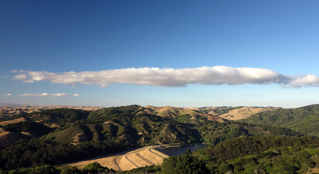 Mezue TrailHiking · ~3 min drivePhoto: albategnius, CC BY-SA 2.0 (via Flickr)
 Wildcat Peak TrailHiking · ~6 min drivePhoto: roguelazer, CC BY 2.0 (via Flickr)Havey Canyon TrailHiking · ~4 min drivePhoto: tauntaun!, CC BY-SA 2.0 (via Flickr)
 Fire Trail No 3Hiking · ~5 min drivePhoto: justinwdavis, CC BY-SA 2.0 (via Flickr)
 Sobrante Ridge TrailHiking · ~5 min drivePhoto: vonguard, CC BY-SA 2.0 (via Flickr)
Best months: Year-round. Best months have typical highs of 55–85 °F, lows of 30 °F or warmer (32 °F where the station doesn't record snow), at most one snowy day and no more than 12 wet days.
Jan
59° / 43°
11 wet
Feb
62° / 44°
10 wet
Mar
65° / 46°
10 wet
Apr
67° / 47°
7 wet
May
70° / 49°
3 wet
Jun
74° / 52°
1 wet
Jul
74° / 53°
0 wet
Aug
75° / 54°
1 wet
Sep
76° / 54°
1 wet
Oct
73° / 52°
3 wet
Nov
65° / 47°
7 wet
Dec
59° / 43°
11 wet
Typical high / low (°F) and days with rain or snow, 1991–2020. Measured at Berkeley, CA, 5.9 mi away at 310 ft. Source: NOAA NCEI U.S. Climate Normals 1991–2020.
Map and trail data © OpenStreetMap contributors

