West Shore Trail
- 1.5 mi
- round trip
- 486 ft
- climb
- 250 ft
- high point
- Out and back
- route
- Oct–May
- best months
West Shore Trail is a short, easy hike in Contra Loma Regional Park, a regional park on land managed by a regional agency in California. The trail is about 1.5 miles long and is an out-and-back route, with a total climb of about 486 feet over the round trip. The one-way climb is about 255 feet, and the steepest part of the trail comes within the first 0.2 miles, with a grade of about 9 percent. Spring and fall are the most comfortable times to go. Typical averages from a nearby weather station show April highs around 72°F and October highs around 78°F, while July and August average in the low 90s. Several other trails sit close by. East Shore Trail is about 0.4 miles away, Old Ranch Loop Trail is about 0.6 miles away, and Homestead Trail is about 0.8 miles away. For a longer outing, Mount Diablo State Park is about 9.6 miles away.
- East Shore TrailHiking0.4 mi
- Old Ranch Loop TrailHiking0.6 mi
- Homestead TrailHiking0.8 mi
- Los Charros TrailHiking0.9 mi
- Silverado TrailHiking1.2 mi
 Old Homestead Loop TrailHikingPhoto: jerememonteau, Public Domain Mark (via Flickr)1.3 mi
 Lark TrailHikingPhoto: vonguard, CC BY-SA 2.0 (via Flickr)1.4 mi
- Mount Diablo State ParkRock climbing9.6 mi
Source: Roamze catalog (indexable pages within 10 miles, PostGIS distance)
- Old Homestead Loop TrailHiking · ~2 min drivePhoto: jerememonteau, Public Domain Mark (via Flickr)
- Lark TrailHiking · ~2 min drivePhoto: vonguard, CC BY-SA 2.0 (via Flickr)
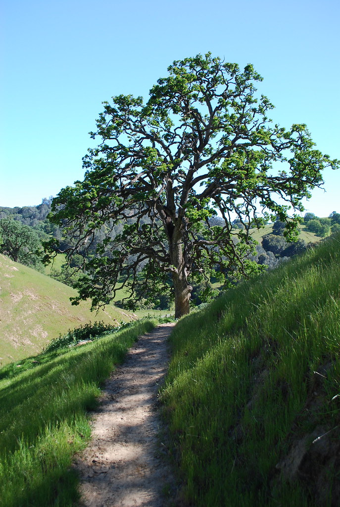 Stewartville TrailHiking · ~3 min drivePhoto: nickton, CC BY 2.0 (via Flickr)
- Ridge TrailHiking · ~3 min drivePhoto: nickton, CC BY 2.0 (via Flickr)
 North Portal TrailHiking · ~3 min drivePhoto: ray_explores, CC BY 2.0 (via Flickr)
- Carbondale TrailHiking · ~3 min drivePhoto: vonguard, CC BY-SA 2.0 (via Flickr)
- Acorn TrailHiking · ~3 min drivePhoto: vonguard, CC BY-SA 2.0 (via Flickr)
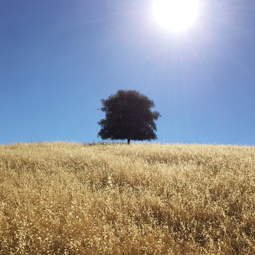 Lougher Loop TrailHiking · ~4 min drivePhoto: Shannon Badiee, CC BY-SA 2.0 (via Flickr)
 Contra Loma TrailHiking · ~3 min drivePhoto: nickton, CC BY 2.0 (via Flickr)
 Upper Oil Canyon TrailHiking · ~4 min drivePhoto: Heather Grimes, CC BY-SA 3.0 (via Wikimedia Commons)
Best time to visit West Shore Trail
Best months: October–May. Best months have typical highs of 55–85 °F, lows of 30 °F or warmer (32 °F where the station doesn't record snow), at most one snowy day and no more than 12 wet days.
Jan
56° / 40°
Feb
61° / 44°
Mar
67° / 47°
Apr
72° / 49°
May
79° / 54°
Jun
86° / 59°
Jul
91° / 61°
Aug
90° / 60°
Sep
87° / 59°
Oct
78° / 54°
Nov
65° / 46°
Dec
56° / 40°
Typical high / low (°F) and days with rain or snow, 1991–2020. Measured at Antioch Pumping Plt #3, CA, 3.8 mi away at 60 ft. Source: NOAA NCEI U.S. Climate Normals 1991–2020.

Map and trail data © OpenStreetMap contributors
