West Coyote Hills Trail
- 0.8 mi
- round trip
- 482 ft
- climb
- 493 ft
- high point
- Out and back
- route
- Sep–Jul
- best months
West Coyote Hills Trail is a short, easy out-and-back hike in California, about 2 miles from the community of Fuller Park. The trail is roughly 1.6 miles long, with a total elevation gain of about 480 feet, and it is rated easy. The climb is front-loaded, with the steepest stretch at about 0.6 miles in, where the grade reaches about 9 percent. The trail starts at an elevation of about 235 feet and reaches a high point of about 493 feet before returning to the starting level. Spring and fall are the most comfortable times to go. Typical averages from a nearby weather station in Fullerton show May highs around 76°F and October highs around 80°F, while July and August average in the mid-80s. That station sits well below the trail, so temperatures on the higher ground run cooler. Hiking Trail lies about 0.4 miles away, and Sally Pekarek Trail is about a mile off. Malvern Trail and Nora Kuttner Trail are both within about 2 miles.
- Hiking TrailHiking0.4 mi
- Sally Pekarek TrailHiking1 mi
- Malvern TrailHiking1.5 mi
- Nora Kuttner TrailHiking1.7 mi
- Pioneer TrailHiking1.8 mi
- Gnatcatcher TrailHiking2 mi
- Basque TrailHiking2.2 mi
- Bud Turner TrailHiking2.4 mi
Source: Roamze catalog (indexable pages within 10 miles, PostGIS distance)
 Arroyo San Miguel TrailHiking · ~8 min drivePhoto: sergei.gussev, CC BY 2.0 (via Flickr)
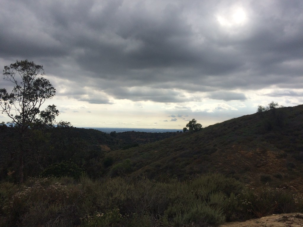 Bob Henderson Loop TrailHiking · ~9 min drivePhoto: sergei.gussev, CC BY 2.0 (via Flickr)
- Deer Loop TrailHiking · ~9 min drivePhoto: sergei.gussev, CC BY 2.0 (via Flickr)
 Schabarum Extension TrailHiking · ~11 min drivePhoto: sergei.gussev, CC BY 2.0 (via Flickr)
- Schabarum-Skyline TrailHiking · ~9 min drivePhoto: sergei.gussev, CC BY 2.0 (via Flickr)
 Worsham Canyon TrailHiking · ~11 min drivePhoto: sergei.gussev, CC BY 2.0 (via Flickr)
- Purple Sage TrailHiking · ~10 min drivePhoto: sergei.gussev, CC BY 2.0 (via Flickr)
- Schabarum-Skyline TrailHiking · ~11 min drivePhoto: sergei.gussev, CC BY 2.0 (via Flickr)
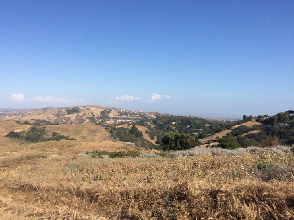 Black Walnut TrailHiking · ~10 min drivePhoto: sergei.gussev, CC BY 2.0 (via Flickr)
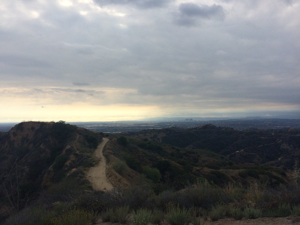 Workman Ridge TrailHiking · ~11 min drivePhoto: sergei.gussev, CC BY 2.0 (via Flickr)
Also worth it near here
Best time to visit West Coyote Hills Trail
Best months: September–July. Best months have typical highs of 55–85 °F, lows of 30 °F or warmer (32 °F where the station doesn't record snow), at most one snowy day and no more than 12 wet days.
Jan
69° / 46°
5 wet
Feb
69° / 48°
6 wet
Mar
71° / 52°
6 wet
Apr
74° / 54°
3 wet
May
76° / 58°
2 wet
Jun
79° / 63°
1 wet
Jul
84° / 66°
0 wet
Aug
87° / 66°
0 wet
Sep
85° / 65°
1 wet
Oct
80° / 58°
3 wet
Nov
74° / 51°
5 wet
Dec
68° / 46°
6 wet
Typical high / low (°F) and days with rain or snow, 1991–2020. Measured at Fullerton Muni Ap, CA, 1.6 mi away at 96 ft. This station doesn't record snowfall. Source: NOAA NCEI U.S. Climate Normals 1991–2020.
Map and trail data © OpenStreetMap contributors
