Waterline Trail
- 1.3 mi
- round trip
- 135 ft
- climb
- 25 ft
- high point
- Out and back
- route
- May–Oct
- best months
Waterline Trail is a short, easy hike in California, about 0.3 miles from the town of Samoa. The route is an out-and-back that covers roughly 2.5 miles round trip, with a total elevation gain of about 135 feet. The trail is nearly flat, and the high point reaches about 25 feet, so it's a gentle walk that works well as a quick outing close to town. Summer is the most comfortable time to go. Typical averages from a nearby weather station in Eureka show July and August highs around 63 to 64°F with only about three wet days a month, while winter months bring highs near 55°F and rain on more than half the days. The trail is about 1.4 miles from WoLal Trail (Forest) and 1.5 miles from the Eureka Waterfront Trail and the Wallflower Dune Trail. For time on the water, the Elk River is about 7 miles away.
- WoLal Trail (Forest)Hiking1.4 mi
- Eureka Waterfront TrailHiking1.5 mi
- Wallflower Dune TrailHiking1.5 mi
- Sunset Dune TrailHiking1.8 mi
- Beach Pea TrailHiking1.9 mi
- Blackberry Hollow TrailHiking2.4 mi
- Lutguk TrailHiking3.1 mi
- Elk RiverCanoeing7.1 mi
Source: Roamze catalog (indexable pages within 10 miles, PostGIS distance)
 Kimuk TrailHiking · ~7 min drivePhoto: John Game, CC BY 2.0 (via Flickr)
 Beith Creek Loop TrailHiking · ~13 min drivePhoto: LFLamb, CC BY-SA 2.0 (via Flickr)
- Tsoutsgish TrailHiking · ~7 min drivePhoto: John Game, CC BY 2.0 (via Flickr)
- Dap Loop TrailHiking · ~7 min drivePhoto: John Game, CC BY 2.0 (via Flickr)
- Hout TrailHiking · ~8 min drivePhoto: John Game, CC BY 2.0 (via Flickr)
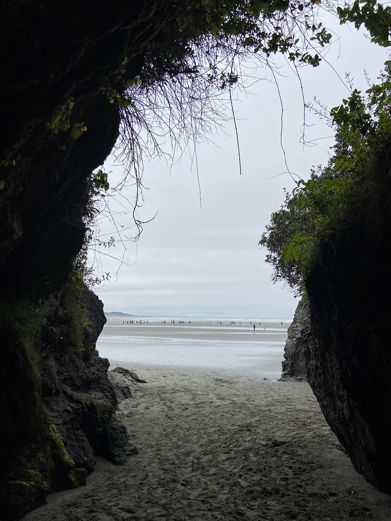 Vighul TrailHiking · ~8 min drivePhoto: btwashburn, CC BY 2.0 (via Flickr)
- South Hollow TrailHiking · ~9 min drivePhoto: btwashburn, CC BY 2.0 (via Flickr)
- Beach Trail LoopHiking · ~10 min drivePhoto: btwashburn, CC BY 2.0 (via Flickr)
 Nature Trail LoopHiking · ~12 min drivePhoto: Dana L. Brown, CC BY-SA 2.0 (via Flickr)
- Meadow TrailHiking · ~13 min drivePhoto: Dana L. Brown, CC BY-SA 2.0 (via Flickr)
Best time to visit Waterline Trail
Best months: May–October. Best months have typical highs of 55–85 °F, lows of 30 °F or warmer (32 °F where the station doesn't record snow), at most one snowy day and no more than 12 wet days.
Jan
55° / 41°
16 wet
Feb
55° / 41°
15 wet
Mar
56° / 42°
16 wet
Apr
57° / 44°
13 wet
May
60° / 48°
10 wet
Jun
62° / 50°
6 wet
Jul
63° / 52°
3 wet
Aug
64° / 53°
3 wet
Sep
64° / 50°
5 wet
Oct
62° / 47°
9 wet
Nov
58° / 43°
14 wet
Dec
55° / 40°
17 wet
Typical high / low (°F) and days with rain or snow, 1991–2020. Measured at Eureka Wfo Woodley Island, CA, 1.7 mi away at 20 ft. Source: NOAA NCEI U.S. Climate Normals 1991–2020.
Map and trail data © OpenStreetMap contributors
