Wallflower Loop
- 0.6 mi
- round trip
- 122 ft
- climb
- 1,544 ft
- high point
- Out and back
- route
Wallflower Loop is an easy out-and-back hike of about 1.2 miles, with a total elevation gain of 122 feet, in the Bonny Doon Ecological Reserve in California. It sits within the reserve managed by State Fish and Wildlife, and the loop starts and ends at nearly the same elevation, making it a short, low-effort outing for a walk through the reserve. The trail is front-loaded, with the steepest section coming around 0.38 miles from the start, where the grade reaches about 7%. The high point is 1544 feet, and the low point is 1459 feet. At 0.6 miles one way, the trip can be done in about half an hour. Spring and fall are the most comfortable times to go. Typical averages from a nearby weather station at Ben Lomond show May highs around 80°F with lows near 46°F and only a few wet days, while October runs similar with highs around 83°F. That station sits well below the reserve, so temperatures on the loop run cooler. Ponderosa Cutoff and Silver Leaf Loop are both about 0.4 miles away, and Laguna Creek Trail is about 0.5 miles away. For a change of pace, the Santa Cruz climbing area is about 3.9 miles away.
- Ponderosa CutoffHiking0.4 mi
- Silver Leaf LoopHiking0.4 mi
- Laguna Creek TrailHiking0.5 mi
- Santa CruzRock climbing3.9 mi
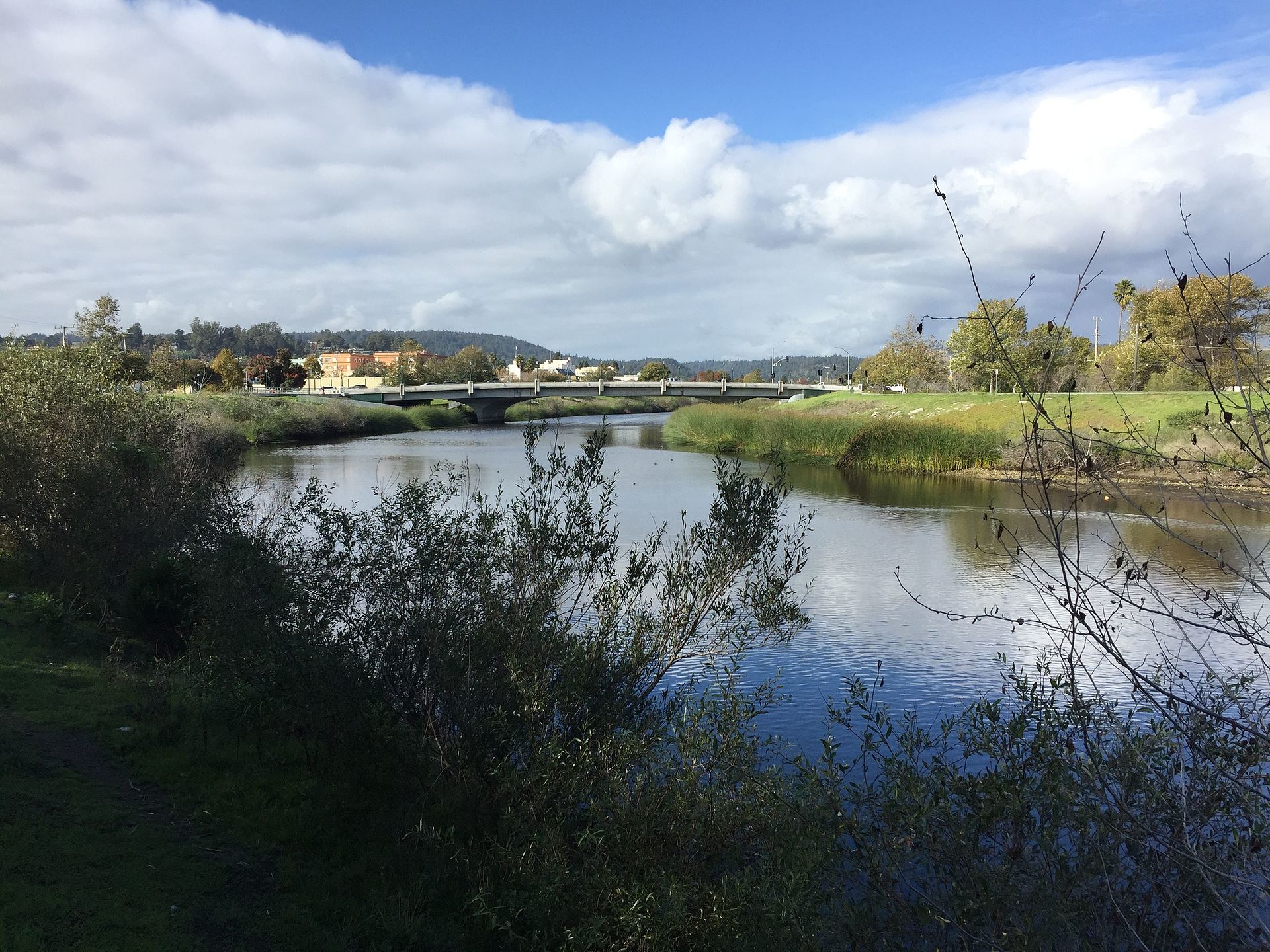 San Lorenzo RiverCanoeingPhoto: Chevy111, CC BY-SA 4.0 (via Wikimedia Commons)4.2 mi
- Garden of EdenRock climbing4.6 mi
- Garden of Eden BoulderingRock climbing4.6 mi
- Zayante CreekCanoeing6.5 mi
Source: Roamze catalog (indexable pages within 10 miles, PostGIS distance)
Map and trail data © OpenStreetMap contributors
