Walking Path
- 0.5 mi
- loop
- 18 ft
- climb
- 216 ft
- high point
- Loop
- route
- Oct–May
- best months
Clear at last check
Weather is good · OpenWeather · checked 14 h ago
Walking Path is a short, easy hike in C-Bar-C Park, a regional agency land unit in California. The route is about half a mile long, with a total elevation gain of 18 feet, so it's a gentle walk that can be done in about 30 minutes. Spring and fall are the most comfortable times to go. Typical averages from a nearby weather station in Sacramento show April highs around 73°F and October highs around 79°F, while July and August average about 94°F. The path starts at about 216 feet and reaches a high point of 216 feet, with the steepest stretch at the beginning. The route also has a small drop of 33 feet, so it's a mostly flat walk with a little ups and downs. Nearby, the American River Footpath and Pine Edge Path are both about 4 miles away. Climbers can head to Area B, and paddlers will find Dry Creek about 7 miles off.
 American River FootpathHikingPhoto: UncleVinny, CC BY 3.0 (via Wikimedia Commons)4.2 mi
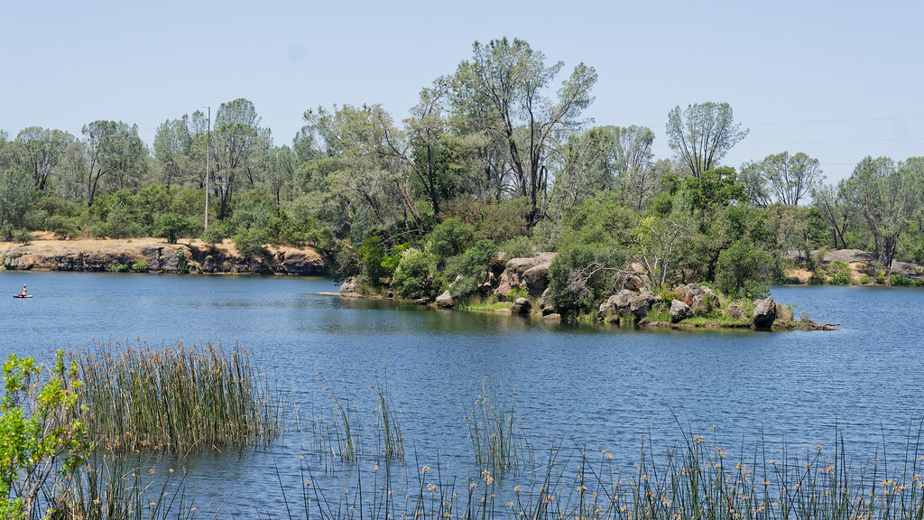 Pine Edge PathHikingPhoto: mlcastle, CC BY-SA 2.0 (via Flickr)4.4 mi
- Area BRock climbing4.5 mi
 Decicos PathHikingPhoto: UncleVinny, CC BY 3.0 (via Wikimedia Commons)4.5 mi
- Rainbow BouldersRock climbing4.5 mi
- Lake SideRock climbing4.5 mi
- Sowind TrailHikingPhoto: UncleVinny, CC BY 3.0 (via Wikimedia Commons)4.6 mi
- Dry CreekCanoeing6.7 mi
Source: Roamze catalog (indexable pages within 10 miles, PostGIS distance)
- American River FootpathHiking · ~7 min drivePhoto: UncleVinny, CC BY 3.0 (via Wikimedia Commons)
 Browns Ravine TrailHiking · ~15 min drivePhoto: UncleVinny, CC BY 3.0 (via Wikimedia Commons)
- Pine Edge PathHiking · ~7 min drivePhoto: mlcastle, CC BY-SA 2.0 (via Flickr)
- Goose Flat TrailHiking · ~15 min drive
- Decicos PathHiking · ~8 min drivePhoto: UncleVinny, CC BY 3.0 (via Wikimedia Commons)
- Sowind TrailHiking · ~8 min drivePhoto: UncleVinny, CC BY 3.0 (via Wikimedia Commons)
 Pioneer Express TrailHiking · ~8 min drivePhoto: UncleVinny, CC BY 3.0 (via Wikimedia Commons)
 Burchill TrailHiking · ~8 min drivePhoto: UncleVinny, CC BY 3.0 (via Wikimedia Commons)
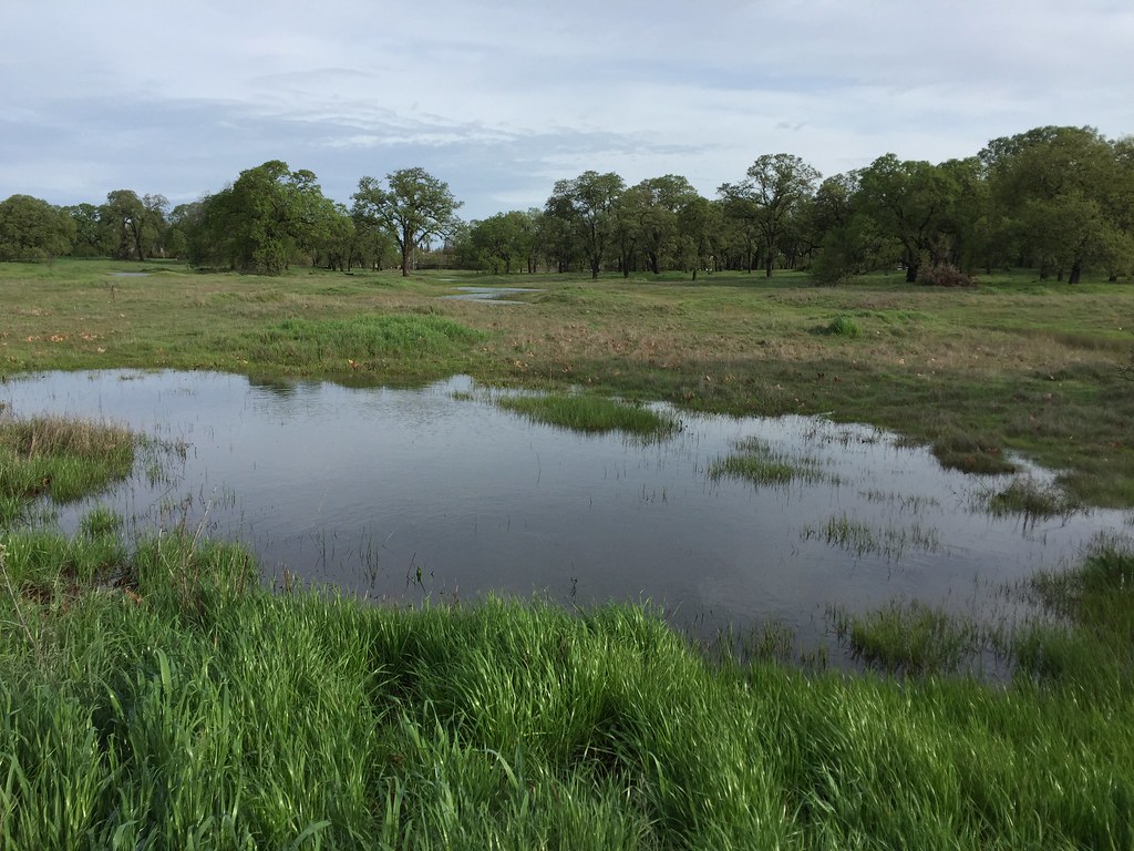 Shady TrailHiking · ~8 min drivePhoto: ray_explores, CC BY 2.0 (via Flickr)
- Sunset PathHiking · ~8 min drivePhoto: mlcastle, CC BY-SA 2.0 (via Flickr)
Best time to visit Walking Path
Best months: October–May. Best months have typical highs of 55–85 °F, lows of 30 °F or warmer (32 °F where the station doesn't record snow), at most one snowy day and no more than 12 wet days.
Jan
57° / 41°
11 wet
Feb
62° / 44°
10 wet
Mar
68° / 47°
9 wet
Apr
73° / 49°
6 wet
May
81° / 54°
4 wet
Jun
89° / 59°
1 wet
Jul
94° / 61°
0 wet
Aug
94° / 61°
0 wet
Sep
89° / 59°
1 wet
Oct
79° / 53°
3 wet
Nov
65° / 45°
7 wet
Dec
56° / 41°
10 wet
Typical high / low (°F) and days with rain or snow, 1991–2020. Measured at Sacramento 5 Ese, CA, 13.5 mi away at 38 ft. Source: NOAA NCEI U.S. Climate Normals 1991–2020.
Map and trail data © OpenStreetMap contributors
