Bothe-Napa Valley State Park Campground
Campground
Campground · 1.4 mi from the trail
Upper Ritchey Canyon Trail is a moderate out-and-back hike in Bothe-Napa Valley State Park in California, managed by State Park and Recreation. The trail is 3.4 miles long, with a total elevation gain of 1,863 feet, and it starts at about 1,090 feet, rising to a high point of 1,892 feet. The steepest stretch comes at about 0.78 miles in, with a grade of 19 percent. The most comfortable months for a visit are typically May and October, when typical averages from a nearby weather station run around 73°F and 72°F, with only a few wet days. Summer is warmer, with July highs near 85°F, and winter brings highs in the mid-50s and about 13 wet days a month. The trail sits just 0.1 mile from the Ritchey Canyon Trail and 0.3 mile from the South Fork Trail, with the Spring Trail about half a mile away. Climbers can find Bell Canyon roughly 6 miles off.
Bothe-Napa Valley State Park Campground
Campground
 If it rainsFrank Schulenburg, CC BY-SA 4.0 · Wikimedia Commons
Places © OpenStreetMap contributors, Places © Overture Maps Foundation · Photos: Frank Schulenburg, CC BY-SA 4.0 (commons)
More in TemelecNot on Roamze yet. Their page has how to reach them.
 Napa RiverCanoeingPhoto: Allen Lew (w:Flickr user enlewof), CC BY 2.0 (via Wikimedia Commons)7.2 mi
 Santa Rosa CreekCanoeingPhoto: Covalent at en.wikipedia, CC BY-SA 3.0 (via Wikimedia Commons)7.3 mi
Source: Roamze catalog (indexable pages within 10 miles, PostGIS distance)
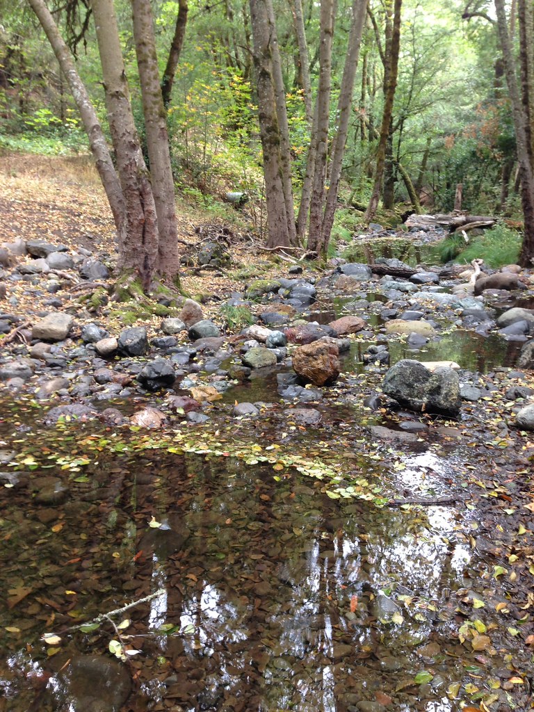 Headwaters TrailHiking · ~6 min drivePhoto: regexman, CC BY 2.0 (via Flickr)
 John Hoffnagle LoopHiking · ~8 min drivePhoto: Skyfirex, CC BY-SA 3.0 (via Wikimedia Commons)Devil's Punchbowl TrailHiking · ~9 min drivePhoto: Skyfirex, CC BY-SA 3.0 (via Wikimedia Commons)Quercus TrailHiking · ~7 min drivePhoto: regexman, CC BY 2.0 (via Flickr)
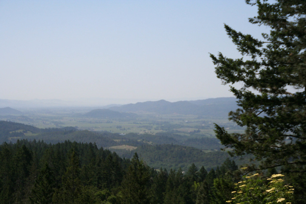 Old Sawmill TrailHiking · ~10 min drivePhoto: csitko, CC BY 2.0 (via Flickr)Hood Mountain TrailHiking · ~7 min drivePhoto: regexman, CC BY 2.0 (via Flickr)Linda Falls TrailHiking · ~10 min drivePhoto: Skyfirex, CC BY-SA 3.0 (via Wikimedia Commons)Hood Mountain TrailHiking · ~8 min drivePhoto: regexman, CC BY 2.0 (via Flickr)
 Red Mountain TrailHiking · ~11 min drivePhoto: Philip Kendall, CC BY-SA 2.0 (via Wikimedia Commons)
Best months: February–November. Best months have typical highs of 55–85 °F, lows of 30 °F or warmer (32 °F where the station doesn't record snow), at most one snowy day and no more than 12 wet days.
Jan
54° / 39°
13 wet
Feb
56° / 40°
11 wet
Mar
60° / 41°
11 wet
Apr
66° / 42°
8 wet
May
73° / 47°
4 wet
Jun
80° / 51°
1 wet
Jul
85° / 54°
0 wet
Aug
84° / 54°
0 wet
Sep
81° / 53°
1 wet
Oct
72° / 50°
4 wet
Nov
60° / 43°
9 wet
Dec
53° / 39°
13 wet
Typical high / low (°F) and days with rain or snow, 1991–2020. Measured at Angwin Pacific Union College, CA, 6.4 mi away at 1,715 ft. This station doesn't record snowfall. Source: NOAA NCEI U.S. Climate Normals 1991–2020.
Map and trail data © OpenStreetMap contributors

