Union Reservoir East Campground
Campground
Campground · < 0.1 mi from the trail
 Photo: cjmartin, CC BY 2.0 (via Flickr)
Closure in the area
There's a closure order in Stanislaus National Forest. It doesn't name Union Rock Lake, so check the source for the area it covers (2 listed).
Stanislaus National Forest extends seasonal MVUM closure for two high elevation roads
Agency closure covering Stanislaus National Forest · USFS · Stanislaus National Forest
Extension of Seasonal Road Closures
Agency closure covering Stanislaus National Forest · USFS · Stanislaus National Forest
As of · Source: USFS · Stanislaus National Forest. Agencies don't list every closure — check before you go.
Union Rock Lake is a 3-mile out-and-back hike in California's Stanislaus National Forest, within the Calaveras Ranger District. The trail is managed by the Forest Service and is rated moderate, with a total elevation gain of about 128 feet, from a low of 6,874 feet to a high of 6,980 feet. The trail is a natural-surface route that carries horses, and bikes are not allowed. It is open year-round, and the closest places to camp are Union East, just 0.1 mile away, and Union West, about 0.4 mile away. Summer and early fall are the most comfortable times to go. Typical averages from a nearby weather station show July and August highs around 80°F with only about two wet days a month, while winter highs sit in the low 40s with lows near 18°F. Nearby, the Utica/Union Reservoirs fishing area is about 1.1 miles away and the Mud Lake hike is about 1.2 miles away. Climbers can reach Spicer Reservoir, about 1.5 miles away.
Union Reservoir East Campground
Campground
Lake Alpine Resort
Restaurant
 If it rainsJunkyardsparkle, CC0 · Wikimedia Commons
Places © OpenStreetMap contributors · Photos: Junkyardsparkle, CC0 (commons)
More in Bear ValleyBest months: May–September. Best months have typical highs of 55–85 °F, lows of 30 °F or warmer (32 °F where the station doesn't record snow), at most one snowy day and no more than 12 wet days.
Jan
43° / 18°
9 wet
Feb
43° / 19°
9 wet
Mar
48° / 24°
10 wet
Apr
53° / 28°
8 wet
May
62° / 33°
7 wet
Jun
72° / 38°
3 wet
Jul
80° / 43°
2 wet
Aug
80° / 41°
2 wet
Sep
73° / 35°
3 wet
Oct
62° / 29°
5 wet
Nov
51° / 23°
7 wet
Dec
43° / 18°
10 wet
Typical high / low (°F) and days with rain or snow, 1991–2020. Measured at South Lake Tahoe Ap, CA, 32.4 mi away at 6,314 ft. The station sits about 700 ft lower than this place, so expect it a little cooler here. This station doesn't record snowfall. Source: NOAA NCEI U.S. Climate Normals 1991–2020.
Photo: cjmartin, CC BY 2.0 (via Flickr)7N17G SNOW TRAIL
~2 min drive
7N17G Snow Trail is a 4.6-mile out-and-back hike in California with 712 feet of elevation gain.
 Photo: wiskinator, CC BY 2.0 (via Flickr)
Elephant Rock
~5 min drive
5.19-mile out-and-back trail to Elephant Rock in California with 344 ft gain.
 Photo: lamblukas, CC BY 2.0 (via Flickr)
Highland Creek
~6 min drive
33.98-mile out-and-back trail in California with 3,227 ft elevation gain.
HIKE
7N01G SNOW TRAIL
~8 min drive
20-mile out-and-back trail in California with 2,536 ft elevation gain and loss.
 Photo: weldonwk, CC BY 2.0 (via Flickr)
Lakeshore Trail
~5 min drive
1.12-mile out-and-back trail in California with 196 ft elevation gain.
Photo: weldonwk, CC BY 2.0 (via Flickr)North Lake Alpine
~6 min drive
5.48-mile out-and-back trail to North Lake Alpine in California.
HIKE
Spicer
~3 min drive
18.6-mile Sierra backcountry trek with steady elevation gain and remote alpine scenery.
Photo: weldonwk, CC BY 2.0 (via Flickr)Lk Alpine Cg to Chickaree
~6 min drive
1.86-mile out-and-back trail in California with 7,606 ft gain.
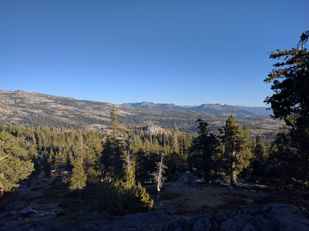 Photo: npdoty, CC BY 2.0 (via Flickr)
Emigrant Trail
~8 min drive
A 3.20-mile out-and-back trail in California connected to the Mormon Carson Emigrant Trail system.
HIKE
Emigrant Trail
~6 min drive
Historic 9.8-mile moderate hike following pioneer emigrant routes through the Sierra Nevada.

