Table Scraps Pinnacle Approach Trail
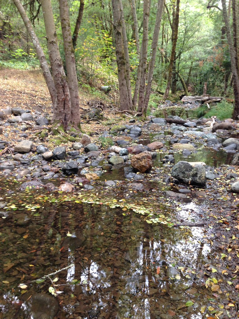
 Photo: theforestprimeval, CC BY-SA 2.0 (via Flickr)
- 0.5 mi
- round trip
- 435 ft
- climb
- 2,612 ft
- high point
- Out and back
- route
- Feb–Nov
- best months
The Table Scraps Pinnacle Approach Trail is a short, out-and-back route in California, about half a mile long, that gains roughly 340 feet to reach a high point of 2,612 feet. The trail starts at about 2,309 feet and ends at the same elevation, with the climb front-loaded and the steepest stretch at about a quarter mile in, where the grade reaches 19 percent. The nearest town is Woodleaf, about 5 miles away. Late spring and early fall are the most comfortable times to go. Typical averages from a nearby weather station show May highs around 73°F and October highs around 72°F, with only a few wet days in each month. That station sits well below the trail, so temperatures on the route run cooler. The approach trail leads right to the Table Scraps Pinnacle climbing area, about 0.1 mile away, and the Table Sprak Boulder climbing area is just as close. Mount St. Helena is about 0.3 mile off, and the Table Rock Trail is about 0.7 mile away.
Local outfitters
- Point Reyes Outdoors42 mi away
Not on Roamze yet. Their page has how to reach them.
- Table Scraps PinnacleRock climbingPhoto: theforestprimeval, CC BY-SA 2.0 (via Flickr)0.1 mi
- Table Sprak BoulderRock climbingPhoto: theforestprimeval, CC BY-SA 2.0 (via Flickr)0.1 mi
- Mount St. HelenaRock climbingPhoto: theforestprimeval, CC BY-SA 2.0 (via Flickr)0.3 mi
- Table Rock TrailHikingPhoto: theforestprimeval, CC BY-SA 2.0 (via Flickr)0.7 mi
- Stevenson Memorial TrailHiking0.8 mi
 Climbers Approach TrailHikingPhoto: theforestprimeval, CC BY-SA 2.0 (via Flickr)0.9 mi
- Maacama CreekCanoeing9.3 mi
- Pope CreekCanoeing9.9 mi
Source: Roamze catalog (indexable pages within 10 miles, PostGIS distance)
- Table Rock TrailHiking · ~1 min drivePhoto: theforestprimeval, CC BY-SA 2.0 (via Flickr)
- Climbers Approach TrailHiking · ~2 min drivePhoto: theforestprimeval, CC BY-SA 2.0 (via Flickr)
- Palisades TrailHiking · ~2 min drivePhoto: theforestprimeval, CC BY-SA 2.0 (via Flickr)
 John Hoffnagle LoopHiking · ~14 min drivePhoto: Skyfirex, CC BY-SA 3.0 (via Wikimedia Commons)
 Approach trail to The Far SideHiking · ~3 min drivePhoto: regexman, CC BY 2.0 (via Flickr)
- Devil's Punchbowl TrailHiking · ~15 min drivePhoto: Skyfirex, CC BY-SA 3.0 (via Wikimedia Commons)
 Mount Saint Helena TrailHiking · ~5 min drivePhoto: regexman, CC BY 2.0 (via Flickr)
- Pope-to-Putah TrailHiking · ~20 min drive
 Headwaters TrailHiking · ~20 min drivePhoto: regexman, CC BY 2.0 (via Flickr)
- Linda Falls TrailHiking · ~18 min drivePhoto: Skyfirex, CC BY-SA 3.0 (via Wikimedia Commons)
Best time to visit Table Scraps Pinnacle Approach Trail
Best months: February–November. Best months have typical highs of 55–85 °F, lows of 30 °F or warmer (32 °F where the station doesn't record snow), at most one snowy day and no more than 12 wet days.
Jan
54° / 39°
13 wet
Feb
56° / 40°
11 wet
Mar
60° / 41°
11 wet
Apr
66° / 42°
8 wet
May
73° / 47°
4 wet
Jun
80° / 51°
1 wet
Jul
85° / 54°
0 wet
Aug
84° / 54°
0 wet
Sep
81° / 53°
1 wet
Oct
72° / 50°
4 wet
Nov
60° / 43°
9 wet
Dec
53° / 39°
13 wet
Typical high / low (°F) and days with rain or snow, 1991–2020. Measured at Angwin Pacific Union College, CA, 9.9 mi away at 1,715 ft. The station sits about 900 ft lower than this place, so expect it a little cooler here. This station doesn't record snowfall. Source: NOAA NCEI U.S. Climate Normals 1991–2020.

Map and trail data © OpenStreetMap contributors
