Table Mountain Truck Trail
- 1.0 mi
- round trip
- 556 ft
- climb
- 4,176 ft
- high point
- Out and back
- route
- Mar–Nov
- best months
Table Mountain Truck Trail is a short, easy out-and-back hike in California, about 6 miles from the town of Anza. The route is roughly 2 miles long, with a total elevation gain of about 550 feet, and it reaches a high point of about 4,176 feet. The trail is rated easy, and the climb is most pronounced in the middle of the route, where the grade reaches about 16 percent. The most comfortable months for a visit are typically May and October, when typical averages from a nearby weather station run around 69°F for highs and 48°F to 51°F for lows. That station sits about 1,400 feet higher than the trail, so temperatures on the trail run warmer than those figures. Winter brings highs near 51°F and a few snow days each month from December through February. The hike takes about an hour to complete. Tule Canyon Truck Trail is about 2.6 miles away, and Elmsbush Trail and Moonshine Trail are both within about 4 miles. For an overnight stay, Ribbonwood Equestrian Campground is about 9 miles off.
Local outfitters
- Borrego Outfitters20 mi away
Not on Roamze yet. Their page has how to reach them.
 Tule Canyon Truck TrailHikingPhoto: Chris Hunkeler, CC BY-SA 2.0 (via Flickr)2.6 mi
 Elmsbush TrailHikingPhoto: (c) Matt Berger, some rights reserved (CC BY), CC BY 4.0 (via Wikimedia Commons)3.4 mi
- Moonshine TrailHiking3.7 mi
- Table Mountain TrailHiking4.3 mi
- Jim Truck TrailHiking5.7 mi
- Garner ValleyRock climbing8.4 mi
 Ribbonwood Equestrian CgCampingPhoto: Recreation.gov (RIDB) / public domain9.4 mi
- Prospect WallRock climbing9.8 mi
Source: Roamze catalog (indexable pages within 10 miles, PostGIS distance)
- Tule Canyon Truck TrailHiking · ~5 min drivePhoto: Chris Hunkeler, CC BY-SA 2.0 (via Flickr)
 Palm CanyonHiking · ~12 min drivePhoto: USFWS Pacific Southwest Region, Public Domain Mark (via Flickr)
 Pacific Crest National Scenic Trail #2000Hiking · ~14 min drivePhoto: Chris Hunkeler, CC BY-SA 2.0 (via Flickr)
 SawmillHiking · ~16 min drivePhoto: rmalouf, CC BY 2.0 (via Flickr)
- Elmsbush TrailHiking · ~6 min drivePhoto: (c) Matt Berger, some rights reserved (CC BY), CC BY 4.0 (via Wikimedia Commons)
 RamonaHiking · ~15 min drivePhoto: Ken Lund, CC BY-SA 2.0 (via Flickr)
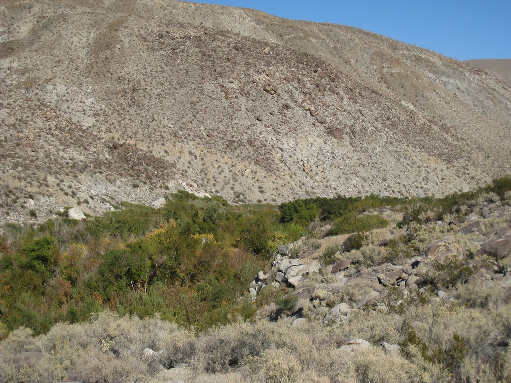 Lower Willows TrailHiking · ~20 min drivePhoto: GSEC, CC BY 2.0 (via Flickr)
 Pinyon TrailHiking · ~16 min drivePhoto: Lukáš Lalinský, CC BY-SA 2.0 (via Flickr)
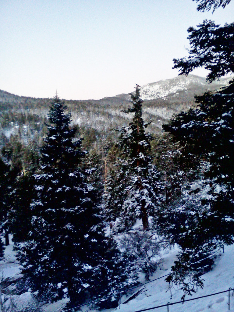 Cactus SpringsHiking · ~17 min drivePhoto: bossco, CC BY-SA 2.0 (via Flickr)
- Table Mountain Truck TrailHiking · ~2 min drive
Best time to visit Table Mountain Truck Trail
Best months: March–November. Best months have typical highs of 55–85 °F, lows of 30 °F or warmer (32 °F where the station doesn't record snow), at most one snowy day and no more than 12 wet days.
Jan
51° / 37°
7 wet · 1 snow
Feb
51° / 36°
7 wet · 2 snow
Mar
56° / 39°
6 wet · 1 snow
Apr
61° / 42°
4 wet · 1 snow
May
69° / 48°
2 wet
Jun
79° / 57°
1 wet
Jul
84° / 64°
1 wet
Aug
84° / 65°
1 wet
Sep
79° / 60°
1 wet
Oct
69° / 51°
2 wet
Nov
58° / 43°
4 wet
Dec
51° / 37°
6 wet · 1 snow
Typical high / low (°F) and days with rain or snow, 1991–2020. Measured at Palomar Mtn Obsy, CA, 16.7 mi away at 5,550 ft. The station sits about 1,400 ft higher than this place, so expect it a little warmer here. Source: NOAA NCEI U.S. Climate Normals 1991–2020.

Map and trail data © OpenStreetMap contributors
