Half Moon Bay RV Park
Campground
Campground · 8.5 mi from the trail
 Photo: btwashburn, CC BY 2.0 (via Flickr)
Alert in the area
The National Park Service lists 2 alerts for Golden Gate National Recreation Area.
Beach Hazards and High Surf November 17-19
Park alert covering Golden Gate National Recreation Area · NPS · Golden Gate National Recreation Area
Auto-Theft Warning - Only Bring What You Need to the Park
Park alert covering Golden Gate National Recreation Area · NPS · Golden Gate National Recreation Area
As of · Source: NPS · Golden Gate National Recreation Area. Agencies don't list every closure — check before you go.
Sunset Trail is an easy out-and-back hike of about 1.6 miles in Golden Gate National Recreation Area, in California. The route rises to a high point of 783 feet, with about 320 feet of elevation gain and loss over the round trip. The trail starts at roughly 753 feet and reaches its highest point just over a third of the way in, then descends back to nearly the same level. The steepest stretch comes at about 0.3 miles, where the grade reaches 6%. Spring and fall are the most comfortable times to go. Typical averages from a nearby weather station show April highs around 73°F and October highs around 80°F, with midsummer highs in the upper 80s. The hike takes about half an hour to complete. The trail is close to several others: Clarkia Trail and Serpentine Trail are each about 0.1 mile away, and Sylvan Trail is about 0.3 mile off. Handley Rock Park, a climbing area, is about half a mile away.
Half Moon Bay RV Park
Campground
 If it rainsSPUCLA, CC BY-SA 4.0 · Wikimedia Commons
Places © OpenStreetMap contributors · Photos: SPUCLA, CC BY-SA 4.0 (commons)
More in PescaderoClarkia TrailHikingPhoto: btwashburn, CC BY 2.0 (via Flickr)0.1 mi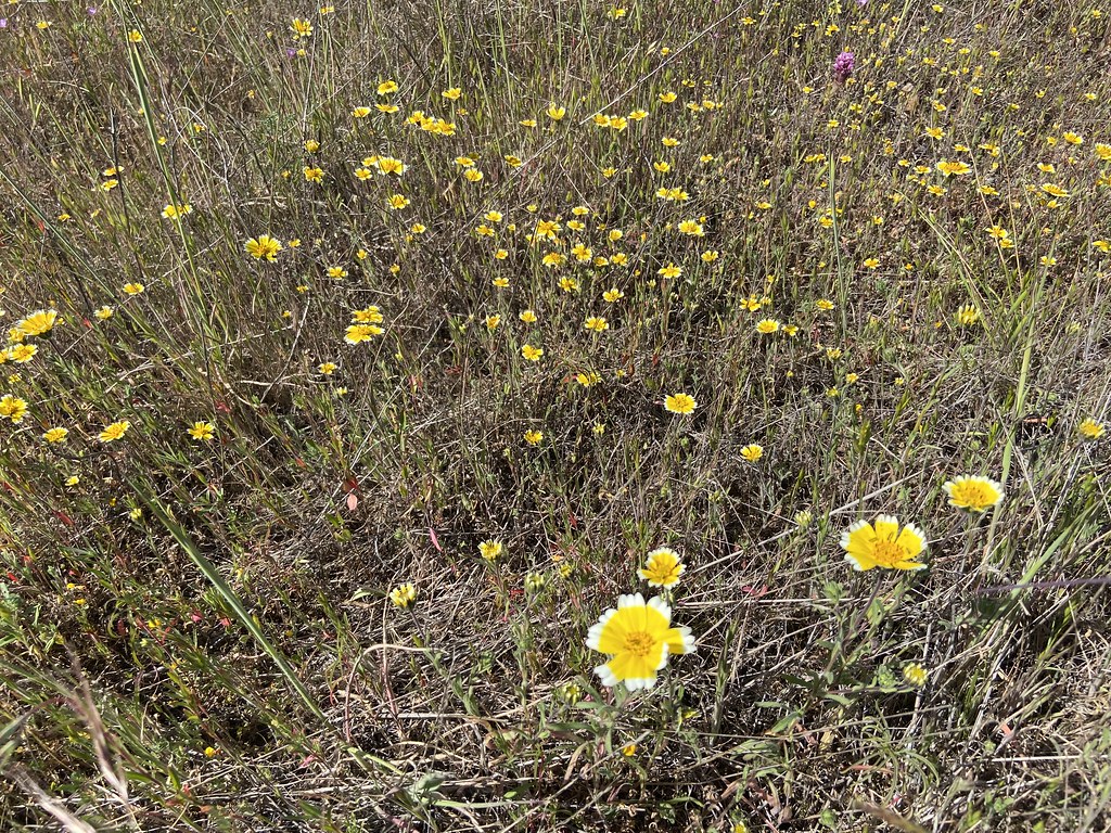 Serpentine TrailHikingPhoto: btwashburn, CC BY 2.0 (via Flickr)0.1 mi
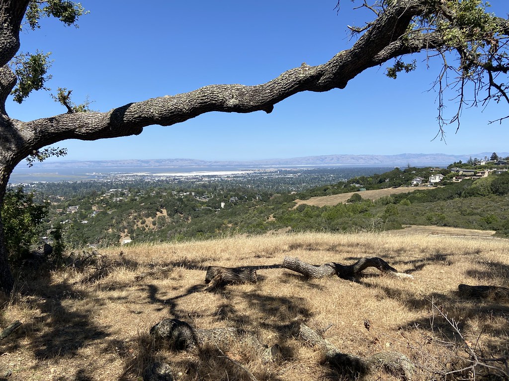 Sylvan TrailHikingPhoto: btwashburn, CC BY 2.0 (via Flickr)0.3 mi
 Ridgeview TrailHikingPhoto: btwashburn, CC BY 2.0 (via Flickr)0.3 mi
 Baywood Glen TrailHikingPhoto: Charles Nadeau from San Mateo, CA, CC BY 2.0 (via Wikimedia Commons)0.6 mi
Source: Roamze catalog (indexable pages within 10 miles, PostGIS distance)
Clarkia TrailHiking · Next doorPhoto: btwashburn, CC BY 2.0 (via Flickr)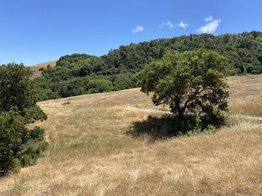 Edgewood TrailHiking · ~1 min drivePhoto: btwashburn, CC BY 2.0 (via Flickr)Serpentine TrailHiking · Next doorPhoto: btwashburn, CC BY 2.0 (via Flickr)
 Crystal Springs TrailHiking · ~2 min drivePhoto: btwashburn, CC BY 2.0 (via Flickr)Sylvan TrailHiking · Next doorPhoto: btwashburn, CC BY 2.0 (via Flickr)
 Dusky-footed Woodrat TrailHiking · ~3 min drivePhoto: Charles Nadeau from San Mateo, CA, CC BY 2.0 (via Wikimedia Commons)Ridgeview TrailHiking · Next doorPhoto: btwashburn, CC BY 2.0 (via Flickr)
 Raymundo TrailHiking · ~3 min drivePhoto: Charles Nadeau from San Mateo, CA, CC BY 2.0 (via Wikimedia Commons)Baywood Glen TrailHiking · ~1 min drivePhoto: Charles Nadeau from San Mateo, CA, CC BY 2.0 (via Wikimedia Commons)
 Crystal Springs TrailHiking · ~3 min drivePhoto: bsterling, CC BY-SA 2.0 (via Flickr)
Best months: October–June. Best months have typical highs of 55–85 °F, lows of 30 °F or warmer (32 °F where the station doesn't record snow), at most one snowy day and no more than 12 wet days.
Jan
61° / 38°
Feb
64° / 40°
Mar
69° / 41°
Apr
73° / 43°
May
78° / 47°
Jun
84° / 50°
Jul
88° / 53°
Aug
89° / 52°
Sep
87° / 51°
Oct
80° / 46°
Nov
68° / 41°
Dec
61° / 37°
Typical high / low (°F) and days with rain or snow, 1991–2020. Measured at Woodside Fire Stn 1, CA, 2.6 mi away at 380 ft. This station doesn't record snowfall. Source: NOAA NCEI U.S. Climate Normals 1991–2020.
Map and trail data © OpenStreetMap contributors
