Spring Source Path
- 0.7 mi
- round trip
- 192 ft
- climb
- 5,767 ft
- high point
- Out and back
- route
- Apr–May, Sep–Oct
- best months
Spring Source Path is a short, easy hike in California, set about a tenth of a mile from the town of Benton Hot Springs. The out-and-back route covers roughly 1.4 miles, with a total climb of about 190 feet from a low point at about 5,630 feet to a high of about 5,767 feet. The climb is gentle, with the steepest stretch around 0.5 miles in at about 8%, and the route is rated easy. The most comfortable months for a visit are typically late spring and early fall. Typical averages from a nearby weather station run from highs around 76°F with lows near 42°F in May to highs around 71°F with lows near 33°F in October. That station sits several hundred feet lower than the trail, so temperatures here run a little cooler. For more time outdoors, the climbing areas at Locals Only Rock, Junk Food Rock and Benton Crags are all about 5 miles away. Sawmill Meadows Campground is about 8 miles off.
Local outfitters
- Mammoth Lakes Pack Outfit29 mi away
- Bishop Pack Outfitters40 mi away
Not on Roamze yet. Their page has how to reach them.
- Locals Only RockRock climbing5.2 mi
- Left-SideRock climbing5.2 mi
- Junk Food RockRock climbing5.2 mi
- Benton CragsRock climbing5.3 mi
- Corral (and Double Dome)Rock climbing5.3 mi
- Clock RockRock climbing5.3 mi
- Kelty StockHiking5.9 mi
- Sawmill Meadows CgCamping8.3 mi
Source: Roamze catalog (indexable pages within 10 miles, PostGIS distance)
 Boundary Peak TrailHiking · ~20 min drivePhoto: Ken Lund, CC BY-SA 2.0 (via Flickr)
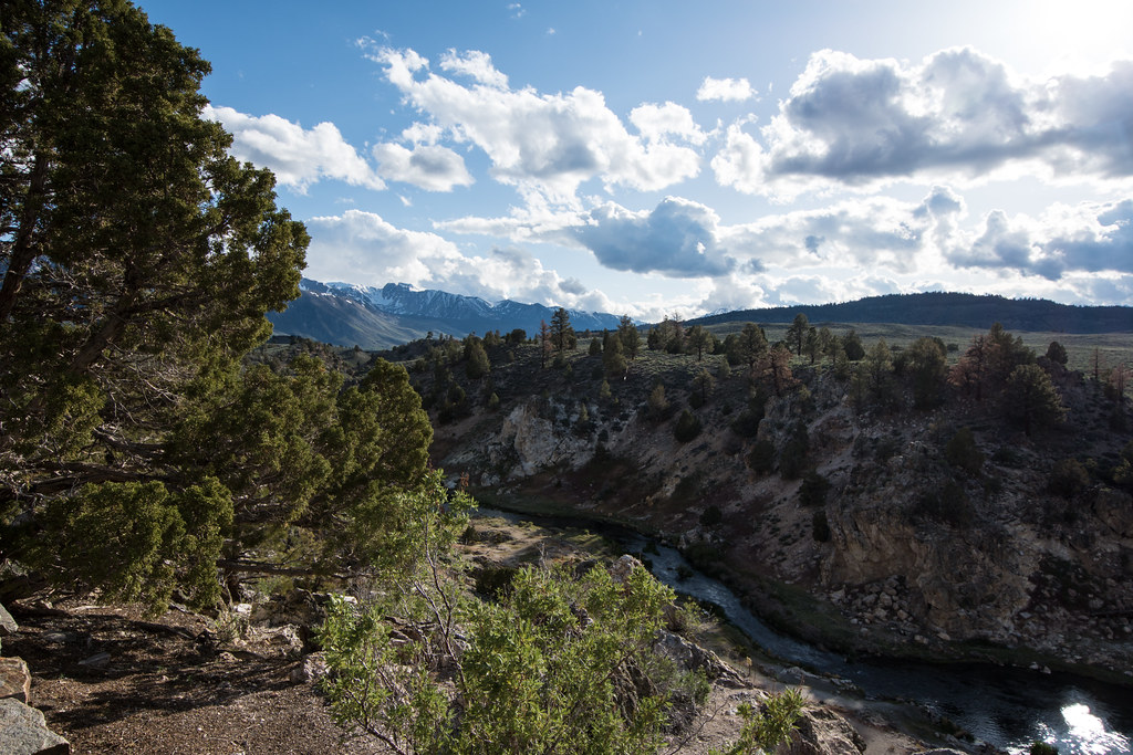 Hot Creek Canyon TrailHiking · ~33 min drivePhoto: m01229, CC BY-SA 2.0 (via Flickr)
 Lower Rock Creek Trail, Section 3Hiking · ~37 min drivePhoto: The Wandering God, CC BY-SA 2.0 (via Flickr)
 Mcgee MountainHiking · ~39 min drivePhoto: GSEC, CC BY 2.0 (via Flickr)
 Red Slate MountainHiking · ~39 min drivePhoto: Robert Gourley, CC BY 2.0 (via Flickr)
 Lower Rock CreekHiking · ~31 min drivePhoto: GSEC, CC BY 2.0 (via Flickr)
 HOT CREEK SKIHiking · ~34 min drivePhoto: Eeekster, CC BY 3.0 (via Wikimedia Commons)
 McGee Creek to Hilton Creek TrailHiking · ~37 min drivePhoto: Dcrjsr, CC BY 4.0 (via Wikimedia Commons)
 White Mountain PeakHiking · ~40 min drivePhoto: ilya_ktsn, CC BY 2.0 (via Flickr)
 SAND CANYON TRAILHiking · ~35 min drivePhoto: GSEC, CC BY 2.0 (via Flickr)
Best time to visit Spring Source Path
Best months: April–May and September–October. Best months have typical highs of 55–85 °F, lows of 30 °F or warmer (32 °F where the station doesn't record snow), at most one snowy day and no more than 12 wet days.
Jan
47° / 18°
3 wet
Feb
52° / 22°
4 wet
Mar
60° / 28°
3 wet
Apr
67° / 33°
2 wet
May
76° / 42°
3 wet
Jun
87° / 50°
2 wet
Jul
94° / 56°
2 wet
Aug
91° / 53°
2 wet
Sep
84° / 45°
2 wet
Oct
71° / 33°
2 wet
Nov
57° / 23°
2 wet
Dec
46° / 16°
2 wet
Typical high / low (°F) and days with rain or snow, 1991–2020. Measured at Dyer 5s, NV, 32 mi away at 4,900 ft. The station sits about 900 ft lower than this place, so expect it a little cooler here. This station doesn't record snowfall. Source: NOAA NCEI U.S. Climate Normals 1991–2020.

Map and trail data © OpenStreetMap contributors
