South Fork American River Trail
- 6.7 mi
- round trip
- 3,552 ft
- climb
- 1,005 ft
- high point
- Out and back
- route
- Oct–May
- best months
The South Fork American River Trail is a long, steep out-and-back hike in the Mother Lode Field Office of the Bureau of Land Management in California. The route is about 13 miles long and climbs roughly 3,500 feet from its start at about 750 feet to a high point of about 1,000 feet. The trail's profile is steady, but the steepest stretch comes at about 2.4 miles in with a grade of about 31 percent. Late spring and early fall are the most comfortable times to go. Typical averages from a nearby weather station in Auburn show May highs around 77°F and October highs around 77°F, while July and August average highs in the low 90s. That station sits a few hundred feet above the trail, so temperatures on the trail run a little cooler. The trip takes about six hours. The trail starts close to the Long Valley Trail and the East Ridge Trail, both within a mile. Climbers can head to Dave Moore Nature Area, about 3 miles away.
Local outfitters
- Alpenglow Expeditions48 mi away
Not on Roamze yet. Their page has how to reach them.
- Long Valley TrailHiking0.1 mi
- East Ridge TrailHiking0.7 mi
- Hidden Valley CutoffHiking0.9 mi
- Dave Moore Nature AreaRock climbing3.3 mi
- Dry CreekCanoeing7.2 mi
- Lake Forest DriveRock climbing7.4 mi
- Auburn and Grass ValleyRock climbing7.4 mi
- Weber CreekCanoeing8.2 mi
Source: Roamze catalog (indexable pages within 10 miles, PostGIS distance)
 Connector TrailHiking · ~3 min drivePhoto: alchen_x, CC BY-SA 2.0 (via Flickr)
- River TrailHiking · ~4 min drivePhoto: alchen_x, CC BY-SA 2.0 (via Flickr)
 Darrington TrailHiking · ~6 min drivePhoto: UncleVinny, CC BY 3.0 (via Wikimedia Commons)
 Pioneer Express TrailHiking · ~10 min drivePhoto: UncleVinny, CC BY 3.0 (via Wikimedia Commons)
 Cowtown TrailHiking · ~7 min drivePhoto: Kurt Minard, CC BY-SA 3.0 (via Wikimedia Commons)
 Acorn Creek TrailHiking · ~6 min drivePhoto: UncleVinny, CC BY 3.0 (via Wikimedia Commons)
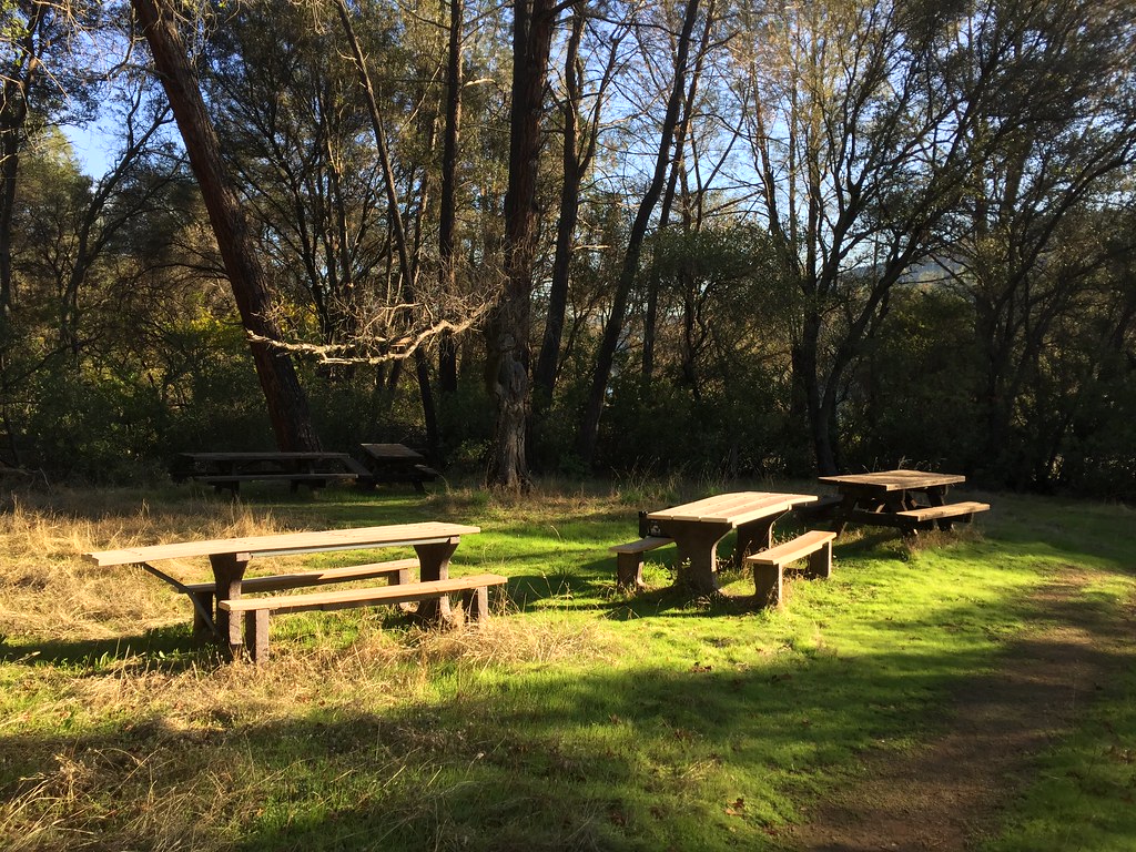 Pioneer Express TrailHiking · ~10 min drivePhoto: ray_explores, CC BY 2.0 (via Flickr)
- Chaparral TrailHiking · ~7 min drivePhoto: Kurt Minard, CC BY-SA 3.0 (via Wikimedia Commons)
- Cattle Chute TrailHiking · ~6 min drivePhoto: UncleVinny, CC BY 3.0 (via Wikimedia Commons)
 Olmstead Loop TrailHiking · ~9 min drivePhoto: UncleVinny, CC BY 3.0 (via Wikimedia Commons)
Best time to visit South Fork American River Trail
Best months: October–May. Best months have typical highs of 55–85 °F, lows of 30 °F or warmer (32 °F where the station doesn't record snow), at most one snowy day and no more than 12 wet days.
Jan
56° / 38°
11 wet
Feb
59° / 40°
10 wet
Mar
63° / 42°
9 wet
Apr
68° / 45°
7 wet
May
77° / 52°
5 wet
Jun
86° / 58°
2 wet
Jul
93° / 63°
0 wet
Aug
92° / 63°
1 wet
Sep
87° / 60°
1 wet
Oct
77° / 52°
3 wet
Nov
64° / 43°
7 wet
Dec
56° / 37°
10 wet
Typical high / low (°F) and days with rain or snow, 1991–2020. Measured at Auburn, CA, 8.7 mi away at 1,292 ft. This station doesn't record snowfall. Source: NOAA NCEI U.S. Climate Normals 1991–2020.

Map and trail data © OpenStreetMap contributors
