social trail 3
- 0.4 mi
- round trip
- 156 ft
- climb
- 748 ft
- high point
- Out and back
- route
- Oct–May
- best months
Social Trail 3 is a short, easy out-and-back hike in California, about 2.7 miles from Redding. The route is 0.86 miles long, with a total elevation gain of 156 feet, and it starts and ends at about 748 feet. The climb is gentle, with the steepest stretch at about 0.29 miles in, and the trail is rated easy. Spring and fall are the most comfortable times to go. Typical averages from a nearby weather station in Redding show April highs around 72°F and October highs near 79°F, while July averages about 100°F and winter brings the most wet days. The hike takes about half an hour. Canyon Holler and Canyon Hollow are both about 0.3 miles away, and Social Trail 6 is a similar distance. For a longer outing, Stillwater Creek offers canoeing about 6.8 miles off.
- Canyon HollerHiking0.3 mi
- Canyon HollowHiking0.3 mi
- Social Trail 6Hiking0.3 mi
- Stillwater CreekCanoeing6.8 mi
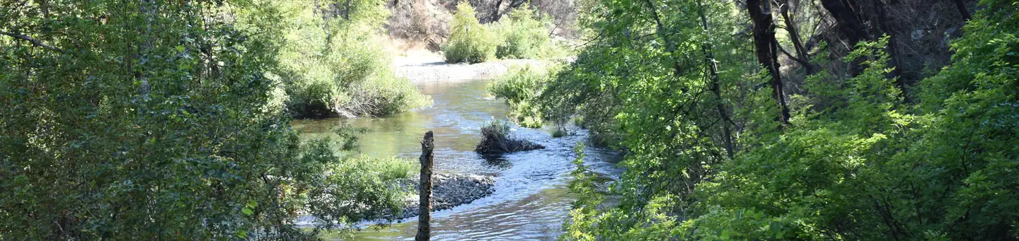 Peltier Bridge Primitive CampgroundSaltwater fishing7 mi
- Redding AreaRock climbing8.1 mi
- Whiskey Creek Group Picnic Area (Whiskeytown NRA)Camping9.2 mi
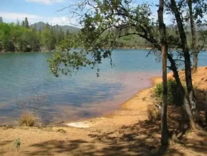 DRY CREEK GROUP CAMPGROUND (Whiskeytown NRA)CampingPhoto: Recreation.gov (RIDB) / public domain9.5 mi
Source: Roamze catalog (indexable pages within 10 miles, PostGIS distance)
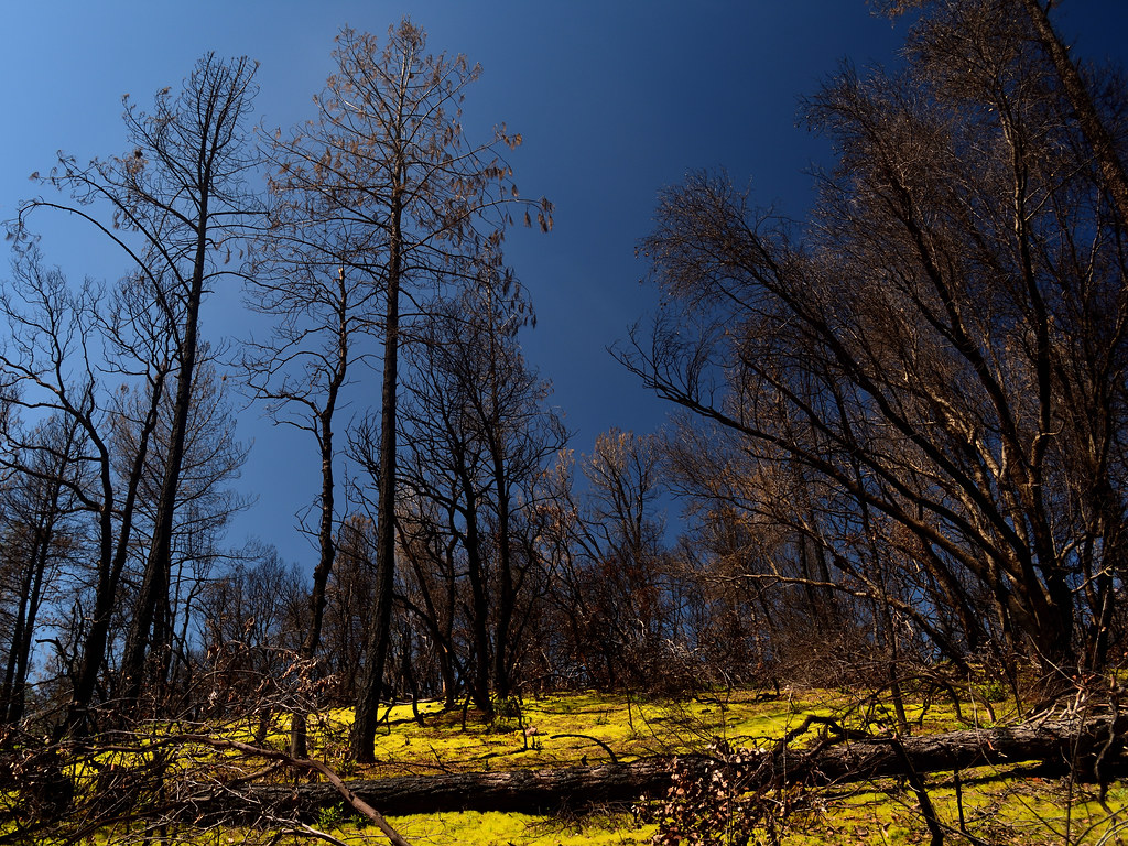 Mary Lake Ditch TrailHiking · ~3 min drivePhoto: Tom Hilton, CC BY 2.0 (via Flickr)
- Ridge TrailHiking · ~3 min drivePhoto: Tom Hilton, CC BY 2.0 (via Flickr)
- Princess Ditch TrailHiking · ~9 min drive
- Mule RidgeHiking · ~9 min drive
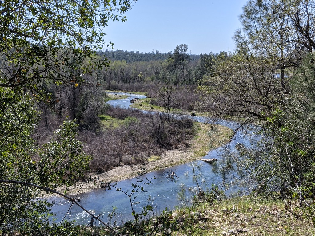 Clear Creek TrailHiking · ~6 min drivePhoto: USFWS Pacific Southwest Region, Public Domain Mark (via Flickr)
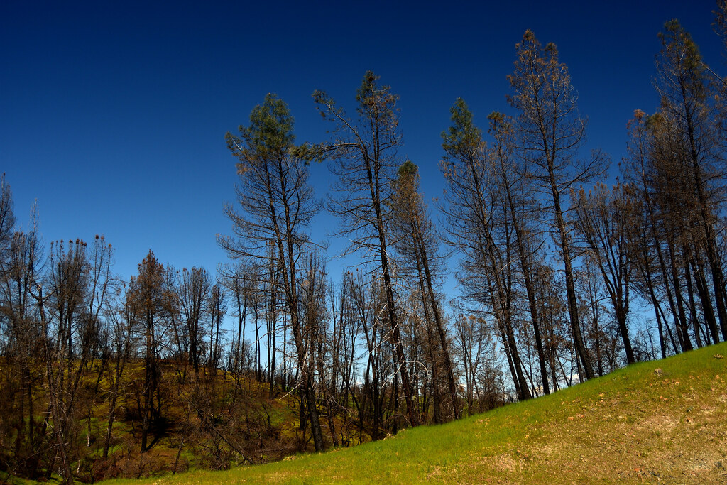 Salt Creek Heights TrailHiking · ~4 min drivePhoto: Tom Hilton, CC BY 2.0 (via Flickr)
- FB TrailHiking · ~10 min drive
- Snail TrailHiking · ~7 min drive
- Salt Creek Heights TrailHiking · ~4 min drivePhoto: Tom Hilton, CC BY 2.0 (via Flickr)
- The Summit TrailHiking · ~8 min drive
Best time to visit social trail 3
Best months: October–May. Best months have typical highs of 55–85 °F, lows of 30 °F or warmer (32 °F where the station doesn't record snow), at most one snowy day and no more than 12 wet days.
Jan
57° / 38°
12 wet
Feb
61° / 40°
11 wet
Mar
66° / 43°
11 wet
Apr
72° / 47°
8 wet
May
82° / 54°
6 wet
Jun
92° / 62°
3 wet
Jul
100° / 67°
1 wet
Aug
98° / 64°
1 wet
Sep
92° / 58°
2 wet
Oct
79° / 50°
5 wet
Nov
64° / 42°
9 wet
Dec
56° / 37°
12 wet
Typical high / low (°F) and days with rain or snow, 1991–2020. Measured at Redding Muni Ap, CA, 7.2 mi away at 497 ft. This station doesn't record snowfall. Source: NOAA NCEI U.S. Climate Normals 1991–2020.
Map and trail data © OpenStreetMap contributors
