Loading…

Free — you'll pick up right here.
Watch this trail
Sign up to watch it — saving subscribes you to gate, closure and report changes.
California
2.8 mi
Distance
534 ft
Gain
We won't guess. Here is exactly what we do and don't know.
What we do know
Inside Inyo National Forest
3 managing-area boundaries mapped — agency alerts for them feed this page automatically.
Boundary data
What's missing
No access route mapped
We don't yet know which road reaches this trailhead, so we can't tell you if it's gated.
Nobody's filed a report here yet — be the first.
Why you'll love it
Shadow Creek
AI-suggested draft · review before you go
No permit or access details on file for this trail — check with the local land manager before you go.
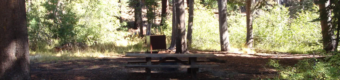
Shadow Creek is a scenic 2.78-mile trail featuring a moderate elevation gain of 534 feet, making it an accessible option for hikers of varying abilities. The trail likely follows or approaches Shadow Creek, offering riparian scenery and shaded forest sections typical of California creek drainages. This short, well-paced hike is ideal for those seeking a refreshing outing without committing to a full day on the trail.
Nydiver Lakes
~1 min drive
Steep alpine trail to scenic mountain lakes with big views in a short distance.
John Muir
~1 min drive
Steep alpine trail with significant elevation gain in a short distance.
Minaret Mine
~5 min drive
Historic alpine mine hike with steady elevation gain and Sierra views.
Altha Lake
~3 min drive
Easy alpine lake hike with minimal elevation gain and scenic water views.
Laura Lake
~1 min drive
Easy 1.31-mile alpine lake hike with 266 ft elevation gain.
Emily Lake
~5 min drive
Moderate alpine lake hike with steady elevation gain and scenic mountain views.
Cecile Lake
~4 min drive
Steep 1.1-mile alpine lake hike with 643 ft elevation gain.
Cabin Lake
~1 min drive
Short alpine lake hike with steady elevation gain and scenic views.
Stevenson
~9 min drive
A 4-mile trail with 984 ft gain near Stevenson, California.
Minaret Creek
~5 min drive
Moderate 6.2-mile creek-side climb with 1,371 ft elevation gain.