Schabarum-Skyline Trail
- 0.4 mi
- round trip
- 28 ft
- climb
- 472 ft
- high point
- Out and back
- route
- Oct–Jun
- best months
The Schabarum-Skyline Trail is a short, easy out-and-back hike in California, about 0.8 miles from the town of Rowland. The route is only about 0.7 miles long, with a total elevation gain of 28 feet, so it's a quick stop for anyone already in the area. The trail is nearly flat, with the high point at 472 feet and the low point at 456 feet. The start and end both sit at 472 feet, so the climb is minimal. Spring and fall are the most comfortable times to go. Typical averages from a nearby weather station in Anaheim show April highs around 77°F and October highs around 83°F, while July and August average in the upper 80s. The Schabarum-Skyline Trail - Azusa/Colima Connector lies about 0.8 miles away, and the Schabarum Extension Trail is about a mile off. Powder Canyon Trail and Black Walnut Trail are both within about 1.6 miles.
 Schabarum-Skyline Trail - Azusa/Colima ConnectorHikingPhoto: sergei.gussev, CC BY 2.0 (via Flickr)0.8 mi
- Schabarum Extension TrailHikingPhoto: sergei.gussev, CC BY 2.0 (via Flickr)1 mi
- Powder Canyon TrailHikingPhoto: sergei.gussev, CC BY 2.0 (via Flickr)1.3 mi
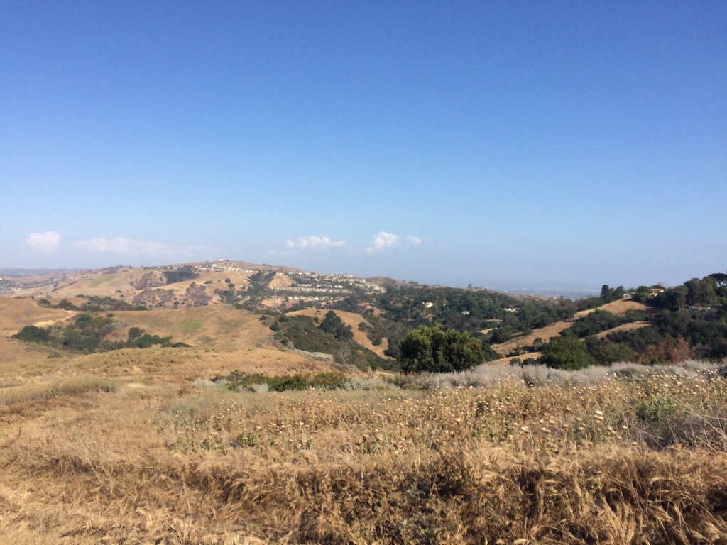 Black Walnut TrailHikingPhoto: sergei.gussev, CC BY 2.0 (via Flickr)1.6 mi
 Purple Sage TrailHikingPhoto: sergei.gussev, CC BY 2.0 (via Flickr)1.9 mi
 Rio HondoCanoeingPhoto: Cromagnom, CC BY-SA 3.0 (via Wikimedia Commons)9.1 mi
Source: Roamze catalog (indexable pages within 10 miles, PostGIS distance)
- Schabarum-Skyline Trail - Azusa/Colima ConnectorHiking · ~1 min drivePhoto: sergei.gussev, CC BY 2.0 (via Flickr)
- Schabarum Extension TrailHiking · ~2 min drivePhoto: sergei.gussev, CC BY 2.0 (via Flickr)
- Schabarum-Skyline TrailHiking · ~7 min drive
- Powder Canyon TrailHiking · ~2 min drivePhoto: sergei.gussev, CC BY 2.0 (via Flickr)
 Worsham Canyon TrailHiking · ~8 min drivePhoto: sergei.gussev, CC BY 2.0 (via Flickr)
- Black Walnut TrailHiking · ~3 min drivePhoto: sergei.gussev, CC BY 2.0 (via Flickr)
- Schabarum-Skyline TrailHiking · ~8 min drivePhoto: sergei.gussev, CC BY 2.0 (via Flickr)
- Purple Sage TrailHiking · ~3 min drivePhoto: sergei.gussev, CC BY 2.0 (via Flickr)
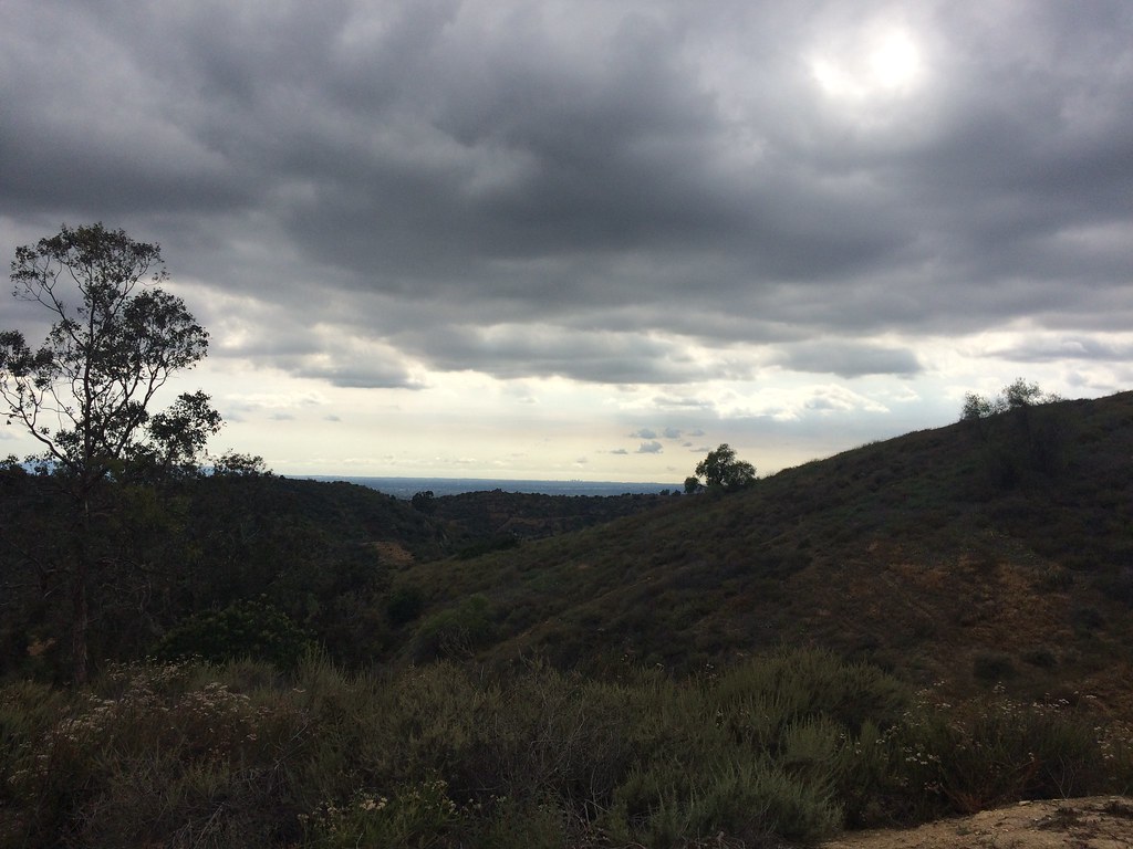 Bob Henderson Loop TrailHiking · ~8 min drivePhoto: sergei.gussev, CC BY 2.0 (via Flickr)
- Schabarum-Skyline TrailHiking · ~4 min drivePhoto: sergei.gussev, CC BY 2.0 (via Flickr)
Also worth it near here
Best time to visit Schabarum-Skyline Trail
Best months: October–June. Best months have typical highs of 55–85 °F, lows of 30 °F or warmer (32 °F where the station doesn't record snow), at most one snowy day and no more than 12 wet days.
Jan
71° / 49°
6 wet
Feb
71° / 49°
6 wet
Mar
74° / 51°
5 wet
Apr
77° / 54°
3 wet
May
78° / 58°
2 wet
Jun
82° / 62°
1 wet
Jul
87° / 66°
1 wet
Aug
89° / 66°
0 wet
Sep
88° / 64°
1 wet
Oct
83° / 59°
2 wet
Nov
77° / 53°
3 wet
Dec
71° / 48°
6 wet
Typical high / low (°F) and days with rain or snow, 1991–2020. Measured at Anaheim, CA, 9.9 mi away at 235 ft. Source: NOAA NCEI U.S. Climate Normals 1991–2020.

Map and trail data © OpenStreetMap contributors
