Circle X Ranch Group Campground
Campground
Campground · 8.9 mi from the trail
Santa Rosa Trail is a 4.4-mile out-and-back hike in Wildwood Park, a regional agency land unit in California. The trail rises from a starting point at about 840 feet to a high point of 1,045 feet, with a total elevation gain of 1,956 feet over the round trip. The climb is steady, and the steepest stretch comes at about 1.9 miles in, where the grade reaches 16 percent. The most comfortable months for a visit are typically late spring and early fall. Typical averages from a nearby weather station in Camarillo show May highs around 72°F and September highs near 80°F, with almost no wet days in summer. That station sits well below the trail, so temperatures on the higher ground run cooler. The hike takes about 2.5 hours. The trail is close to several other routes, including Lower Butte Trail at half a mile and Shooting Star Trail and Mount Clef Ridge Trail at about 0.6 miles. Climbers can find Gainsborough Boulders about 2.5 miles away.
Circle X Ranch Group Campground
Campground
 If it rainsLos Angeles, CC BY-SA 3.0 · Wikimedia Commons
Art environment in Simi Valley, California, United States
Places © OpenStreetMap contributors · Photos: Los Angeles, CC BY-SA 3.0 (commons)
More in Moorpark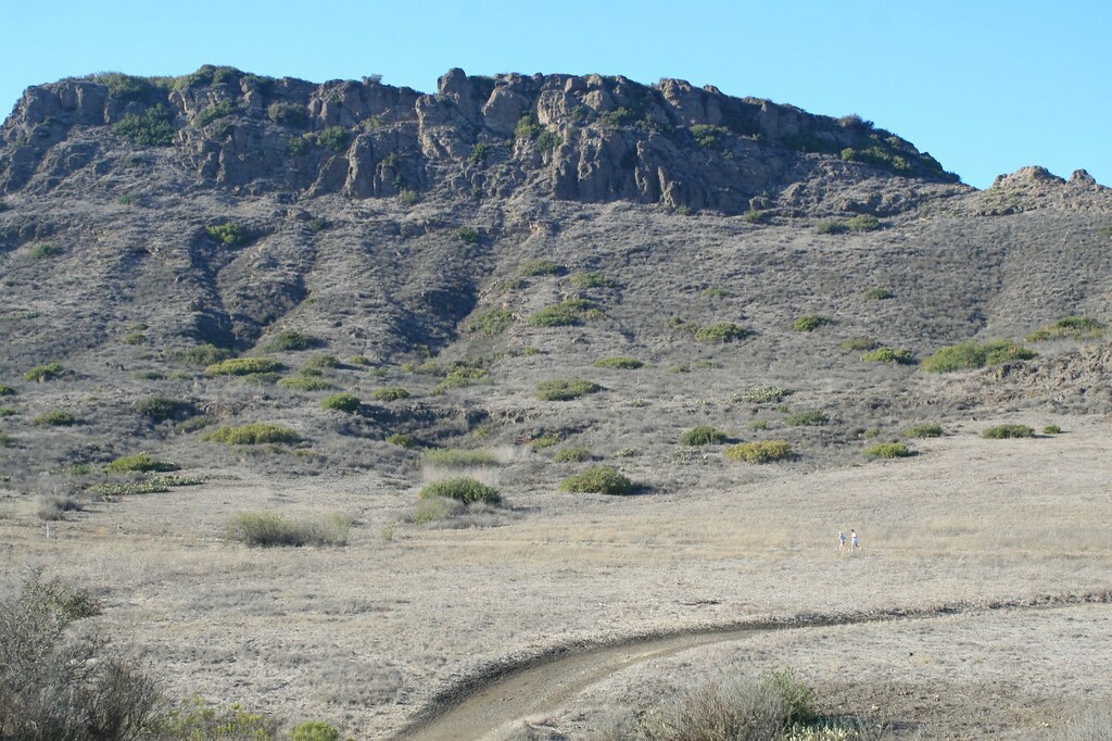 Lower Santa Rosa TrailHikingPhoto: Randy Son Of Robert, CC BY 2.0 (via Flickr)0.8 mi
Source: Roamze catalog (indexable pages within 10 miles, PostGIS distance)
Lower Santa Rosa TrailHiking · ~1 min drivePhoto: Randy Son Of Robert, CC BY 2.0 (via Flickr) Lizard Rock TrailHiking · ~4 min drivePhoto: Holly Cheng, CC BY-SA 3.0 (via Wikimedia Commons)Indian Creek TrailHiking · ~2 min drivePhoto: Randy Son Of Robert, CC BY 2.0 (via Flickr)Lower Butte TrailHiking · ~2 min drivePhoto: Holly Cheng, CC BY-SA 3.0 (via Wikimedia Commons)Mesa TrailHiking · ~2 min drivePhoto: Holly Cheng, CC BY-SA 3.0 (via Wikimedia Commons)Shenandoah TrailHiking · ~2 min drivePhoto: Randy Son Of Robert, CC BY 2.0 (via Flickr)
Best months: Year-round. Best months have typical highs of 55–85 °F, lows of 30 °F or warmer (32 °F where the station doesn't record snow), at most one snowy day and no more than 12 wet days.
Jan
68° / 45°
6 wet
Feb
68° / 46°
6 wet
Mar
69° / 47°
5 wet
Apr
71° / 49°
3 wet
May
72° / 53°
2 wet
Jun
75° / 57°
0 wet
Jul
78° / 60°
0 wet
Aug
79° / 61°
0 wet
Sep
80° / 59°
1 wet
Oct
76° / 54°
3 wet
Nov
73° / 49°
4 wet
Dec
68° / 44°
5 wet
Typical high / low (°F) and days with rain or snow, 1991–2020. Measured at Camarillo Ap, CA, 11.3 mi away at 77 ft. The station sits about 1,000 ft lower than this place, so expect it a little cooler here. This station doesn't record snowfall. Source: NOAA NCEI U.S. Climate Normals 1991–2020.
Map and trail data © OpenStreetMap contributors
