Chris Haven RV Annex
Campground
1.6 mi from the trail
Sandpit Connector is an easy out-and-back hike of about 1.6 miles with a total elevation gain of about 32 feet, set within the Lake Tahoe Basin Management Unit in California. The route is short and gentle, making it a simple add-on to a longer outing or a quick stop for anyone exploring the trails and climbing in this corner of the national forest. Summer is the most comfortable time to visit. Typical averages from a nearby weather station at South Lake Tahoe put July and August highs around 80°F with only about two wet days a month, while winter highs hover near 43°F with lows in the teens. The High School Trail starts just 0.2 miles away, and the Space Domes and Pie Shop Bouldering climbing areas are both within a mile. Fallen Leaf Campground, about 2.8 miles off, offers a place to stay.
Where it is: Lake Tahoe Basin Management Unit
Best months: May–September. Best months have typical highs of 55–85 °F, lows of 30 °F or warmer (32 °F where the station doesn't record snow), at most one snowy day and no more than 12 wet days.
Jan
43°
18°
9 wet
Feb
43°
19°
9 wet
Mar
48°
24°
10 wet
Apr
53°
28°
8 wet
May
62°
33°
7 wet
Jun
72°
38°
3 wet
Jul
80°
43°
2 wet
Aug
80°
41°
2 wet
Sep
73°
35°
3 wet
Oct
62°
29°
5 wet
Nov
51°
23°
7 wet
Dec
43°
18°
10 wet
Typical high / low (°F) and days with rain or snow, 1991–2020. Measured at South Lake Tahoe Ap, CA, 1.5 mi away at 6,314 ft. We don't have this place's elevation, so higher spots nearby can run cooler. This station doesn't record snowfall. Source: NOAA NCEI U.S. Climate Normals 1991–2020.
Been here? Tell people how it was.
 High School TrailHikingPhoto: mlinksva, Public Domain Dedication (CC0) (via Flickr)0.2 mi
 Trail Rock Climbing Space Invaders approachHikingPhoto: gosheshe, CC BY 2.0 (via Wikimedia Commons)0.8 mi
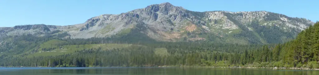 Fallen Leaf CampgroundCampingPhoto: Recreation.gov (RIDB) / public domain2.8 mi
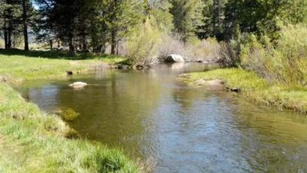 Hope ValleyCampingPhoto: Recreation.gov (RIDB) / public domain5 miHigh School TrailHikingPhoto: mlinksva, Public Domain Dedication (CC0) (via Flickr)Next doorTrail Rock Climbing Space Invaders approachHikingPhoto: gosheshe, CC BY 2.0 (via Wikimedia Commons)~1 min drive
 Angora Ridge TrailHikingPhoto: Scorewith German, CC BY 3.0 (via Wikimedia Commons)~4 min drive
 Tahoe Mountain Trail (South)HikingPhoto: mlinksva, Public Domain Dedication (CC0) (via Flickr)~2 min driveClimbing Approach trailHikingPhoto: gosheshe, CC BY 2.0 (via Wikimedia Commons)~2 min drive
 Lily Lake TrailHikingPhoto: Scorewith German, CC BY 3.0 (via Wikimedia Commons)~5 min driveAngora Lake TrailHikingPhoto: Scorewith German, CC BY 3.0 (via Wikimedia Commons)~4 min driveDevron ConnectorHikingPhoto: mlinksva, Public Domain Dedication (CC0) (via Flickr)~2 min drive
 Camp Richardson Corral TrailsHikingPhoto: Ken Lund, CC BY-SA 2.0 (via Flickr)~5 min drive
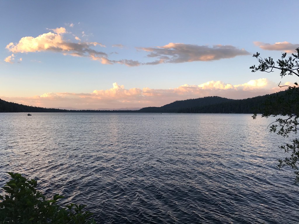 Cathedral TrailHikingPhoto: bsterling, CC BY-SA 2.0 (via Flickr)~5 min drive
Daily highs and lows, wind and the chance of precipitation at Start for the next 7 days, from the Open-Meteo model.
Questions about Sandpit Connector: conditions, access, timing. Answers say when something isn't known.
Chris Haven RV Annex
Campground
Baldwin Home
Museum
Places © OpenStreetMap contributors, Places © Overture Maps Foundation
More in Sunnyside-Tahoe CityNot on Roamze yet. Their page has how to reach them.
