San Gabriel River Trail
- 1.0 mi
- round trip
- 102 ft
- climb
- 338 ft
- high point
- Out and back
- route
- Oct–Jul
- best months
The San Gabriel River Trail is a short, easy out-and-back hike in California, about 1.3 miles from the town of Maxson. The route is roughly 2.1 miles long, with a total elevation gain of about 100 feet, and it stays mostly flat, making it a gentle walk for anyone looking to spend an hour on foot. Spring and fall are the most comfortable times to go. Typical averages from a nearby weather station show April highs around 74°F and October highs around 81°F, while July and August climb into the mid-80s. The trail is close to several other outings. The Santa Anita Wash Trail is about 1.5 miles away, and the Rio Hondo River Trail is about 2.2 miles off. Climbers can head to the Los Angeles Basin, about 2.9 miles away, and paddlers can reach the Rio Hondo, about 6 miles away.
 Santa Anita Wash TrailHikingPhoto: JingKe888, CC BY 2.0 (via Flickr)1.5 mi
- Rio Hondo River TrailHiking2.2 mi
- Los Angeles BasinRock climbing2.9 mi
- Live Oak Park Exercise PathHiking3.1 mi
 Rio HondoCanoeingPhoto: Cromagnom, CC BY-SA 3.0 (via Wikimedia Commons)6 mi
- HoegeesCamping8.3 mi
- Spring CampCamping8.6 mi
- Spruce GroveCamping9.1 mi
Source: Roamze catalog (indexable pages within 10 miles, PostGIS distance)
- Santa Anita Wash TrailHiking · ~3 min drivePhoto: JingKe888, CC BY 2.0 (via Flickr)
 Puma TrailHiking · ~10 min drivePhoto: sergei.gussev, CC BY 2.0 (via Flickr)
- Lower Clamshell Truck TrailHiking · ~9 min drive
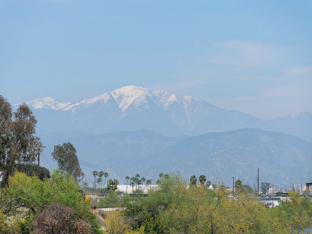 Santa Anita Wash TrailHiking · ~3 min drivePhoto: JingKe888, CC BY 2.0 (via Flickr)
- Rio Hondo River TrailHiking · ~4 min drive
- Four Palms TrailHiking · ~10 min drive
 San Gabriel River TrailHiking · ~3 min drivePhoto: Sonysnob at English Wikipedia, CC BY-SA 3.0 (via Wikimedia Commons)
- San Gabriel River TrailHiking · ~10 min drive
- Monrovia Canyon Truck TrailHiking · ~10 min drive
- San Gabriel River TrailHiking · ~4 min drivePhoto: Sonysnob at English Wikipedia, CC BY-SA 3.0 (via Wikimedia Commons)
Best time to visit San Gabriel River Trail
Best months: October–July. Best months have typical highs of 55–85 °F, lows of 30 °F or warmer (32 °F where the station doesn't record snow), at most one snowy day and no more than 12 wet days.
Jan
69° / 46°
6 wet
Feb
68° / 47°
6 wet
Mar
71° / 51°
5 wet
Apr
74° / 53°
3 wet
May
76° / 58°
2 wet
Jun
81° / 62°
1 wet
Jul
85° / 65°
0 wet
Aug
88° / 66°
0 wet
Sep
87° / 64°
0 wet
Oct
81° / 57°
2 wet
Nov
74° / 51°
3 wet
Dec
68° / 45°
5 wet
Typical high / low (°F) and days with rain or snow, 1991–2020. Measured at San Gabriel Fire Dept, CA, 6 mi away at 363 ft. Source: NOAA NCEI U.S. Climate Normals 1991–2020.
Map and trail data © OpenStreetMap contributors
