Vermillion
Campground
Campground · 4.4 mi from the trail
Closure in the area
There's a closure order in Sierra National Forest. It doesn't name Saddle Mountain Trail, so check the source for the area it covers (3 listed).
Safety Tips for Burned Areas: Garnet Fire Area
Agency closure covering Sierra National Forest · USFS · Sierra National Forest
Wilderness Food and Refuse Storage
Agency closure covering Sierra National Forest · Order 05-15-00-26-03 · USFS · Sierra National Forest
Food and Refuse Storage
Agency closure covering Sierra National Forest · Order 05-15-00-26-02 · USFS · Sierra National Forest
Forest Order removes Fish Camp, Soda Springs, and Little Jackass from closure list
Agency alert covering Sierra National Forest · Order 05-15-00-26-11 · USFS · Sierra National Forest
Ansel Adams and John Muir Wilderness Campfire Restrictions
Agency alert covering Sierra National Forest · Order 05-15-00-26-09 · USFS · Sierra National Forest
As of · Source: USFS · Sierra National Forest. Agencies don't list every closure — check before you go.
Saddle Mountain Trail is a 7.7-mile out-and-back hike in the Ansel Adams Wilderness, within the High Sierra Ranger District of Sierra National Forest in California. The Forest Service manages the land, and the trail starts at about 10,875 feet, with the high point of the route at the same elevation. The climb is back-loaded, with the steepest stretch at about 0.49 miles from the start, where the grade reaches 33 percent. The total gain and loss are each about 2,979 feet. The route is rated hard, and the climb is the most demanding part. The steepest grade comes early, so plan for a significant effort from the outset. Nearby, Saddle Mountain and Margaret Lakes are both hikes within about 1.6 miles. Vermillion Campground is about 4.4 miles away, and Fish Creek, a canoeing spot, is about 6.1 miles away.
Vermillion
Campground
Iva Bell Hot Springs
Hot spring
Places © OpenStreetMap contributors
More in Mammoth LakesNot on Roamze yet. Their page has how to reach them.
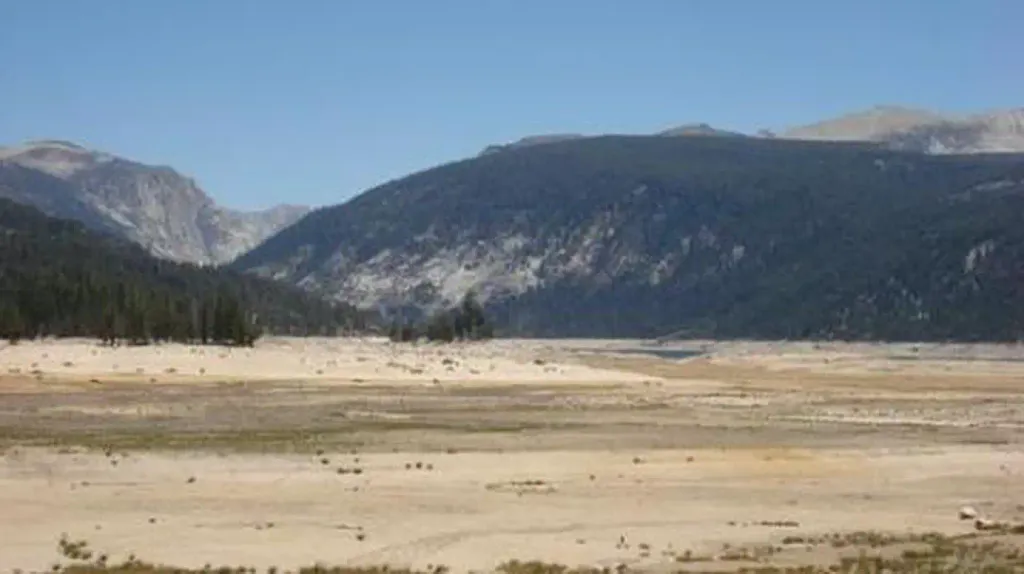 VermillionCampingPhoto: Recreation.gov (RIDB) / public domain4.4 mi
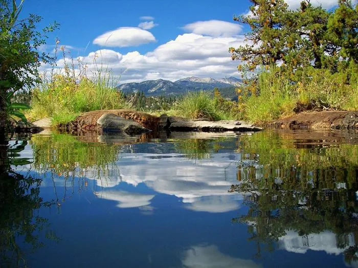 Mono CreekCampingPhoto: Recreation.gov (RIDB) / public domain6.2 mi
Source: Roamze catalog (indexable pages within 10 miles, PostGIS distance)
 Devil's BathtubHiking · ~4 min drivePhoto: garritron — CC BY 2.0 (via Flickr)
 Peter Pande LakeHiking · ~9 min drivePhoto: Tom Hilton, CC BY 2.0 (via Wikimedia Commons)Long CanyonHiking · ~6 min drivePhoto: Tom Hilton, CC BY 2.0 (via Wikimedia Commons)Olive LakeHiking · ~9 min drivePhoto: Tom Hilton, CC BY 2.0 (via Wikimedia Commons)
