Loading trail…

Free — you'll pick up right here.
Save this plan
Sign up to save your own editable copy — you'll pick up right here.
California
2.2 mi
Distance
361 ft
Gain
No conditions check on file for this trail yet — always verify current conditions before you go.
Why you'll love it
Rim to Reno
AI-suggested draft · review before you go
No permit or access details on file for this trail — check with the local land manager before you go.
Rim to Reno is a 2.22-mile out-and-back singletrack trail in Nevada that offers hikers a chance to explore this scenic route at their own pace. This trail connects to the broader Mount Rose Summit Trail and Upper Thomas Creek Trail system, making it an excellent option for those looking to extend their adventure or link multiple trails together. The singletrack surface provides an engaging hiking experience through the Nevada backcountry.
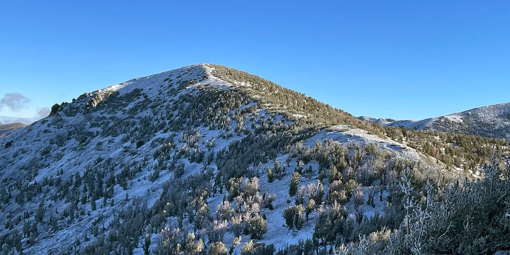
Mt Houghton
~6 min drive
Quick summit hike with steady elevation gain and panoramic views.
Rim to Reno
~2 min drive
Nearly 25-mile point-to-point descent from rim to Reno with steady elevation loss.
Dry Pond
~7 min drive
Easy 4.2-mile loop with 471 ft gain through Nevada high desert.
Jones
~8 min drive
Easy 2.17-mile trail near Jones, Nevada.
Rim to Reno
~1 min drive
Short Nevada trail with views toward Reno area.
Thomas Creek
~5 min drive
Moderately strenuous 8.76-mile creek drainage hike with 3,066 ft elevation gain.
Gray Lake Trail (Mt. Rose)
~9 min drive
Steady alpine hike to scenic Gray Lake with mixed forest and meadow terrain.
Tamarack Lake Trail
~9 min drive
Scenic alpine lake hike through Nevada's high country with moderate elevation gain.
Church's Pond
~5 min drive
Easy 1.17-mile pond loop with 248 ft elevation gain.
Mt. Rose Peak
~6 min drive
Moderate alpine hike to scenic Sierra Nevada peak with expansive views.