Via Services West Campus
Campground
Campground · 3.7 mi from the trail
Rancho San Antonio Bike Path is a short, easy out-and-back route in Rancho San Antonio Open Space Preserve, about 0.6 miles from The Highlands, California. The path is 0.66 miles long, with a total climb of 226 feet, and it is rated easy. The route is steady, with the steepest stretch at about 0.15 miles in, where the grade reaches 4%. The high point is 406 feet, and the low point is 349 feet. The path is short enough to fit into a quick outing or pair with another nearby trail. Late spring and early fall are the most comfortable times to go. Typical averages from a nearby weather station at Moffett Federal Airfield show May highs around 72°F and October highs around 74°F, with July and August highs near 77°F and almost no wet days. That station sits well below the preserve, so temperatures on the path run cooler. Several trails start within a third of a mile, including Permanente Creek Trail, Hill Trail and Stephen E. Abbors Trail. For climbing, Stevens Canyon Boulder is about 4 miles away.
Via Services West Campus
Campground
 If it rainsFlickr user roarofthefour, CC BY-SA 2.0 · Wikimedia Commons
California History Center
Museum
Places © OpenStreetMap contributors, Places © Overture Maps Foundation · Photos: Flickr user roarofthefour, CC BY-SA 2.0 (commons)
More in PescaderoSource: Roamze catalog (indexable pages within 10 miles, PostGIS distance)
 Upper Wildcat Canyon TrailHiking · ~3 min drivePhoto: regexman, CC BY 2.0 (via Flickr)
 Upper High Meadow TrailHiking · ~4 min drivePhoto: bsterling, CC BY-SA 2.0 (via Flickr)
 Black Mountain TrailHiking · ~5 min drivePhoto: bsterling, CC BY-SA 2.0 (via Flickr)
 Dawson PathHiking · ~3 min drivePhoto: Dicklyon, CC BY-SA 4.0 (via Wikimedia Commons)
 Waterwheel Creek TrailHiking · ~5 min drivePhoto: dbaron, CC BY-SA 2.0 (via Flickr)Bob Stutz PathHiking · ~4 min drivePhoto: Dicklyon, CC BY-SA 4.0 (via Wikimedia Commons)Quarry TrailHiking · ~5 min drivePhoto: bsterling, CC BY-SA 2.0 (via Flickr)
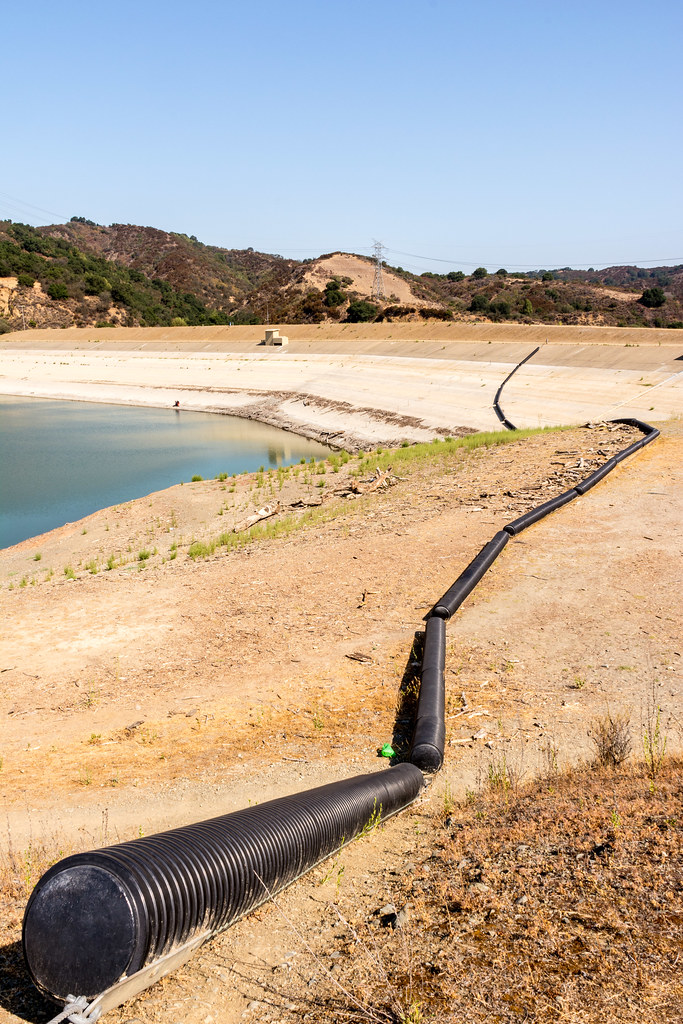 Bear Meadow TrailHiking · ~5 min drivePhoto: donjd2, CC BY 2.0 (via Flickr)
 Zinfandel TrailHiking · ~6 min drivePhoto: dbaron, CC BY-SA 2.0 (via Flickr)
Best months: Year-round. Best months have typical highs of 55–85 °F, lows of 30 °F or warmer (32 °F where the station doesn't record snow), at most one snowy day and no more than 12 wet days.
Jan
59° / 42°
11 wet
Feb
62° / 44°
11 wet
Mar
65° / 47°
10 wet
Apr
68° / 49°
6 wet
May
72° / 53°
3 wet
Jun
76° / 56°
1 wet
Jul
77° / 59°
0 wet
Aug
77° / 59°
0 wet
Sep
78° / 57°
1 wet
Oct
74° / 53°
4 wet
Nov
66° / 46°
8 wet
Dec
59° / 42°
10 wet
Typical high / low (°F) and days with rain or snow, 1991–2020. Measured at Moffett Federal Airfield, CA, 5.5 mi away at 39 ft. This station doesn't record snowfall. Source: NOAA NCEI U.S. Climate Normals 1991–2020.
Map and trail data © OpenStreetMap contributors

