Loading…

Free — you'll pick up right here.
Watch this trail
Sign up to watch it — saving subscribes you to gate, closure and report changes.
California
19.6 mi
Distance
1,939 ft
Gain
An agency closure order is in effect for this area; weather is good
2 factors · 2 sources
Newest 22 h ago · oldest 28 d
problem: Agency alerts
21 active alerts in Shasta-Trinity National Forest; most severe: Mud and Ash Creek Area and Road Closure
USFS28 d ago
clear: Weather
Clouds, high 76°F / low 41°F, 0% precip — 95/100 for hike
OpenWeather22 h ago
Been out here in the last few days? One report keeps this current for everyone.
Why you'll love it
Rainbow
AI-suggested draft · review before you go
No permit or access details on file for this trail — check with the local land manager before you go.
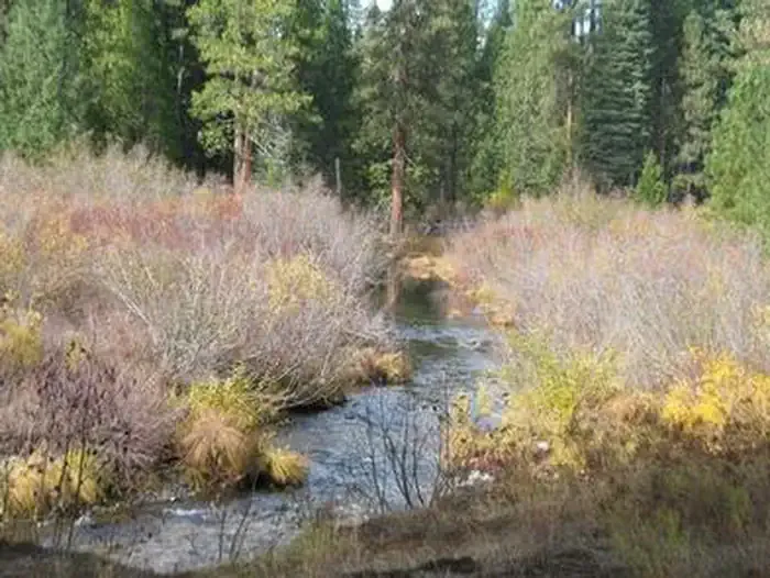
The Rainbow Trail is a challenging 19.61-mile journey through California's diverse terrain, offering hikers an extended backcountry experience with nearly 2,000 feet of elevation gain. This long-distance route showcases the region's natural beauty and provides excellent opportunities for experienced hikers seeking solitude and scenic vistas. The trail's length and sustained elevation make it ideal for those looking to test their endurance on a full-day adventure.
Trout Creek Nature
~0 min drive
Easy 1-mile nature walk along Trout Creek with minimal elevation gain.
Upper Antelope Creek
~6 min drive
Remote 22-mile creek drainage trek with 2,082 ft elevation gain.
Baird Rr Grade Tie
~15 min drive
Easy 3.2-mile walk along a historic railroad grade with minimal elevation gain.
Algoma Nature
~23 min drive
Easy 1-mile nature walk with minimal elevation gain.
Asperin
~10 min drive
Moderate 9.42-mile day hike with 489 ft elevation gain in Asperin area.
Clear Creek
~24 min drive
Steep 4-mile foothill hike with 1,927 ft gain and creek views.
Inconstance
~25 min drive
Short, easy trail with 431 ft gain near Inconstance, California.
Cramer
~11 min drive
Moderate 9.7-mile mountain trail with 1,364 ft elevation gain.
Green Butte
~30 min drive
Steady 4.13-mile climb to Green Butte with 1,798 ft elevation gain and summit views.
Middle Falls Main
~27 min drive
Quick waterfall viewing trail with minimal elevation gain.