Purple Pond Trail
- 0.7 mi
- round trip
- 328 ft
- climb
- 1,910 ft
- high point
- Out and back
- route
- Oct–May
- best months
Purple Pond Trail is a short, easy hike in Henry W. Coe State Park in California, managed by State Park and Recreation. The trail is an out-and-back route of about 1.5 miles, with a total elevation gain of 328 feet. The high point is 1,910 feet, and the low point is 1,640 feet, so the climb is back-loaded, with the steepest stretch at about 0.33 miles from the start, where the grade reaches 13 percent. Spring and fall are the most comfortable times to go. Typical averages from a nearby weather station at San Luis Dam show April highs around 73°F and October highs around 79°F, while July and August average about 93°F. That station sits well below the trail, so temperatures on the trail run cooler. The hike takes about half an hour. Mustang Cut-off Trail, Deer Camp Trail and Woodpecker Trail all lie within about a mile and a half, and Kingbird Pond Trail is about 1.6 miles away.
 Mustang Cut-off TrailHikingPhoto: Dave Raiman, CC BY 3.0 (via Wikimedia Commons)1.1 mi
- Deer Camp TrailHiking1.2 mi
- Woodpecker TrailHiking1.3 mi
- Orestimba Creek TrailHiking1.4 mi
- Kingbird Pond TrailHiking1.6 mi
- Winslow's TrailHiking2 mi
- Dutch's TrailHiking2.1 mi
- Alquist TrailHiking2.1 mi
Source: Roamze catalog (indexable pages within 10 miles, PostGIS distance)
- Mustang Cut-off TrailHiking · ~2 min drivePhoto: Dave Raiman, CC BY 3.0 (via Wikimedia Commons)
 Pacheco Falls TrailHiking · ~5 min drivePhoto: ilya_ktsn, CC BY 2.0 (via Flickr)
- Live Oak Spring TrailHiking · ~6 min drivePhoto: ilya_ktsn, CC BY 2.0 (via Flickr)
- Gunsight TrailHiking · ~6 min drivePhoto: ilya_ktsn, CC BY 2.0 (via Flickr)
- Fish & Game TrailHiking · ~6 min drivePhoto: ilya_ktsn, CC BY 2.0 (via Flickr)
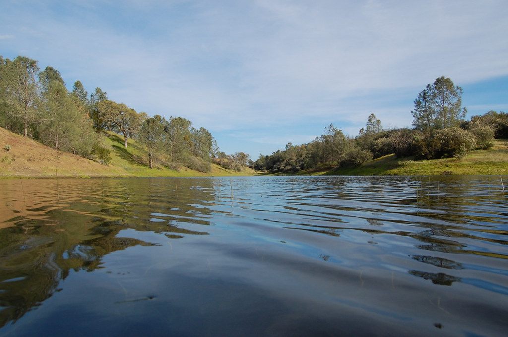 Mudd Spring TrailHiking · ~6 min drivePhoto: ilya_ktsn, CC BY 2.0 (via Flickr)
- Coit Ridge TrailHiking · ~6 min drivePhoto: Dave Raiman, CC BY 3.0 (via Wikimedia Commons)
- Orestimba Creek TrailHiking · ~2 min drive
- Rose Dam TrailHiking · ~6 min drivePhoto: ilya_ktsn, CC BY 2.0 (via Flickr)
- Winslow's TrailHiking · ~3 min drive
Best time to visit Purple Pond Trail
Best months: October–May. Best months have typical highs of 55–85 °F, lows of 30 °F or warmer (32 °F where the station doesn't record snow), at most one snowy day and no more than 12 wet days.
Jan
56° / 38°
12 wet
Feb
62° / 43°
10 wet
Mar
67° / 47°
8 wet
Apr
73° / 50°
5 wet
May
80° / 56°
3 wet
Jun
88° / 60°
1 wet
Jul
93° / 65°
0 wet
Aug
93° / 64°
0 wet
Sep
89° / 61°
1 wet
Oct
79° / 54°
3 wet
Nov
66° / 45°
7 wet
Dec
57° / 39°
11 wet
Typical high / low (°F) and days with rain or snow, 1991–2020. Measured at San Luis Dam, CA, 19 mi away at 277 ft. The station sits about 1,600 ft lower than this place, so expect it a little cooler here. Source: NOAA NCEI U.S. Climate Normals 1991–2020.
Map and trail data © OpenStreetMap contributors
