Mad River Rapids RV Park
Campground
Campground · 2.3 mi from the trail
 Photo: Dana L. Brown, CC BY-SA 2.0 (via Flickr)
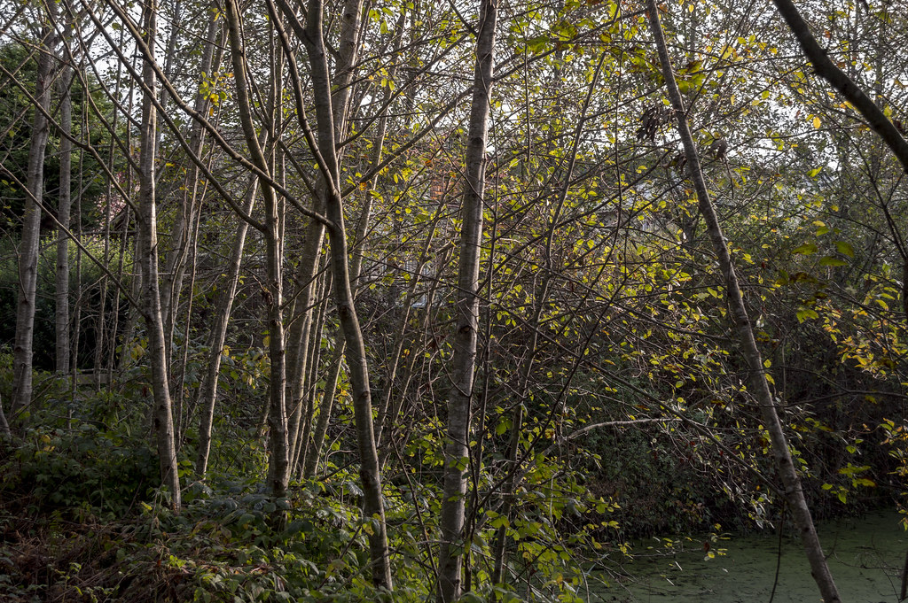
Powerline Trail is a short, easy hike in the Arcata Community Forest, a city-managed forest in California. The trail is about 0.6 miles long and rises roughly 215 feet from its starting point, which sits at about 605 feet. The route is an out-and-back, and the high point reaches about 719 feet. The climb is gentle, with the steepest stretch at about 0.5 miles in, where the grade reaches 10 percent. Summer is the most comfortable time to go. Typical averages from a nearby weather station show July and August highs around 63 to 65°F with only five to six wet days a month, while winter months bring highs in the mid-50s and rain on 17 to 19 days. Several other trails start close by. Jump Trail and Meadow Trail are each about 0.3 miles away, and South Fork Trail and Vista Trail are about 0.4 miles off.
Mad River Rapids RV Park
Campground
Phillips House Museum
Museum
Places © OpenStreetMap contributors, Places © Overture Maps Foundation
More in HoopaMeadow TrailHikingPhoto: Dana L. Brown, CC BY-SA 2.0 (via Flickr)0.3 miUpper Janes Creek TrailHikingPhoto: Dana L. Brown, CC BY-SA 2.0 (via Flickr)0.6 mi Spruce City TrailHikingPhoto: Avulsionist, CC BY 2.0 (via Flickr)0.7 mi
Source: Roamze catalog (indexable pages within 10 miles, PostGIS distance)
Meadow TrailHiking · Next doorPhoto: Dana L. Brown, CC BY-SA 2.0 (via Flickr) Beith Creek Loop TrailHiking · ~3 min drivePhoto: LFLamb, CC BY-SA 2.0 (via Flickr)Upper Janes Creek TrailHiking · ~1 min drivePhoto: Dana L. Brown, CC BY-SA 2.0 (via Flickr)Ridge Loop Single TrackHiking · ~1 min drivePhoto: Dana L. Brown, CC BY-SA 2.0 (via Flickr)Spruce City TrailHiking · ~1 min drivePhoto: Avulsionist, CC BY 2.0 (via Flickr)Lower Janes Creek TrailHiking · ~1 min drivePhoto: Avulsionist, CC BY 2.0 (via Flickr)Nature Trail LoopHiking · ~1 min drivePhoto: Dana L. Brown, CC BY-SA 2.0 (via Flickr)Ridge Loop TrailHiking · ~1 min drivePhoto: Avulsionist, CC BY 2.0 (via Flickr)Arcata Ridge TrailHiking · ~1 min drivePhoto: Dana L. Brown, CC BY-SA 2.0 (via Flickr)
 South Fork TrailHiking · ~1 min drivePhoto: Myusername432, CC BY 2.0 (via Flickr)
Best months: May–October. Best months have typical highs of 55–85 °F, lows of 30 °F or warmer (32 °F where the station doesn't record snow), at most one snowy day and no more than 12 wet days.
Jan
56° / 41°
18 wet
Feb
57° / 41°
17 wet
Mar
57° / 41°
18 wet
Apr
58° / 43°
14 wet
May
60° / 46°
11 wet
Jun
62° / 49°
7 wet
Jul
63° / 51°
5 wet
Aug
65° / 51°
6 wet
Sep
65° / 49°
9 wet
Oct
63° / 45°
12 wet
Nov
59° / 42°
17 wet
Dec
56° / 40°
19 wet
Typical high / low (°F) and days with rain or snow, 1991–2020. Measured at Arcata Eureka Ap, CA, 7.4 mi away at 200 ft. The station sits about 500 ft lower than this place, so expect it a little cooler here. This station doesn't record snowfall. Source: NOAA NCEI U.S. Climate Normals 1991–2020.
Map and trail data © OpenStreetMap contributors
