Pope-to-Putah Trail
- 1.2 mi
- round trip
- 996 ft
- climb
- 1,380 ft
- high point
- Out and back
- route
- Feb–Nov
- best months
The Pope-to-Putah Trail is a moderate out-and-back hike on Bureau of Land Management land in California's Ukiah Field Office, about 1.2 miles long and roughly 2.4 miles round trip. It rises from a low point of 626 feet to a high of 1,380 feet, with a total elevation gain of about 1,000 feet. The steepest stretch comes at about 0.77 miles in, where the grade reaches 25%. Late spring and early fall are the most comfortable times to go. Typical averages from a nearby weather station show May highs around 73°F and October highs around 72°F, while July and August average in the mid-80s and winter brings the most wet days. The trip takes about 1.5 hours. Pope Creek, a canoeing spot, lies about 2.3 miles away, and the Cedar Roughs Trail is about 2.9 miles off. Putah Creek, another paddling option, is about 4.8 miles away, and the Berryessa North End Trail offers mountain biking about 4.1 miles away.
Local outfitters
- Point Reyes Outdoors47 mi away
Not on Roamze yet. Their page has how to reach them.
- Pope CreekCanoeing2.3 mi
- Cedar Roughs TrailHiking2.9 mi
- Berryessa North End TrailMountain biking4.1 mi
- Berryessa North End Trail shortcutMountain biking4.7 mi
 Putah CreekCanoeingPhoto: Bev Sykes from Davis, CA, USA, CC BY 2.0 (via Wikimedia Commons)4.8 mi
- Mossy RockRock climbing5.8 mi
- Bell CanyonRock climbing6.9 mi
- Eticuera CreekCanoeing7.7 mi
Source: Roamze catalog (indexable pages within 10 miles, PostGIS distance)
 Berryessa Peak TrailHiking · ~11 min drivePhoto: jacobian, CC BY 2.0 (via Flickr)
 Devil's Punchbowl TrailHiking · ~13 min drivePhoto: Skyfirex, CC BY-SA 3.0 (via Wikimedia Commons)
- John Hoffnagle LoopHiking · ~13 min drivePhoto: Skyfirex, CC BY-SA 3.0 (via Wikimedia Commons)
 Smittle Creek TrailHiking · ~15 min drivePhoto: Bureau of Reclamation, CC BY-SA 2.0 (via Wikimedia Commons)
 Palisades TrailHiking · ~20 min drivePhoto: theforestprimeval, CC BY-SA 2.0 (via Flickr)
- Linda Falls TrailHiking · ~13 min drivePhoto: Skyfirex, CC BY-SA 3.0 (via Wikimedia Commons)
- Pope-to-Putah TrailHiking · ~1 min drive
 Whiskey RidgeHiking · ~17 min drivePhoto: Kurt Minard, CC BY-SA 3.0 (via Wikimedia Commons)
- Long Canyon TrailHiking · ~18 min drive
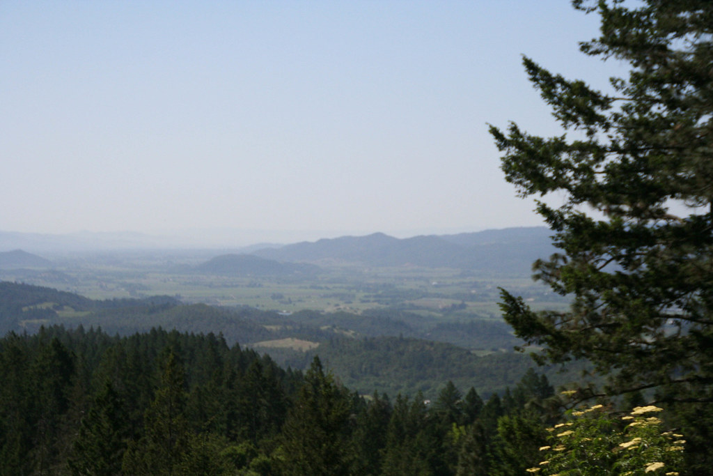 Old Sawmill TrailHiking · ~14 min drivePhoto: csitko, CC BY 2.0 (via Flickr)
Best time to visit Pope-to-Putah Trail
Best months: February–November. Best months have typical highs of 55–85 °F, lows of 30 °F or warmer (32 °F where the station doesn't record snow), at most one snowy day and no more than 12 wet days.
Jan
54° / 39°
13 wet
Feb
56° / 40°
11 wet
Mar
60° / 41°
11 wet
Apr
66° / 42°
8 wet
May
73° / 47°
4 wet
Jun
80° / 51°
1 wet
Jul
85° / 54°
0 wet
Aug
84° / 54°
0 wet
Sep
81° / 53°
1 wet
Oct
72° / 50°
4 wet
Nov
60° / 43°
9 wet
Dec
53° / 39°
13 wet
Typical high / low (°F) and days with rain or snow, 1991–2020. Measured at Angwin Pacific Union College, CA, 6.7 mi away at 1,715 ft. This station doesn't record snowfall. Source: NOAA NCEI U.S. Climate Normals 1991–2020.
Map and trail data © OpenStreetMap contributors
