Pixley Interpretive Trail
California
Free — you'll pick up right here.
0.7 mi
Distance
0 ft
Gain
We don't cover this trail yet
No agency boundary, access route or field report is mapped to it — so there is no verdict, and we won't guess. We'll tell you the moment this trail has something to say.
Nobody's filed a report here yet — be the first.
Why you'll love it
Here's your day, mapped
Pixley Interpretive Trail
Suggested plan · check conditions before you go
Meals
Gear for the day
Elevation & route
- Distance
- 0.7 mi
- Elevation gain
- 0 ft
- Highest point
- 204 ft
- Lowest point
- 200 ft
Photos
Directions & GPX
Permits & access
- Managing agency
- U.S. Fish and Wildlife Service
About this trail
Pixley Interpretive Trail is a short out-and-back hike in California covering 0.74 miles with a maximum elevation of 204 feet. The trail is managed by the U.S. Fish and Wildlife Service.
Add to a trip & share
Keep exploring — more trails worth the drive
 Photo: npdoty, CC BY 2.0 (via Flickr)
Devils Canyon
~1h 13m drive
3.40-mile out-and-back trail in California with 1,195 ft gain
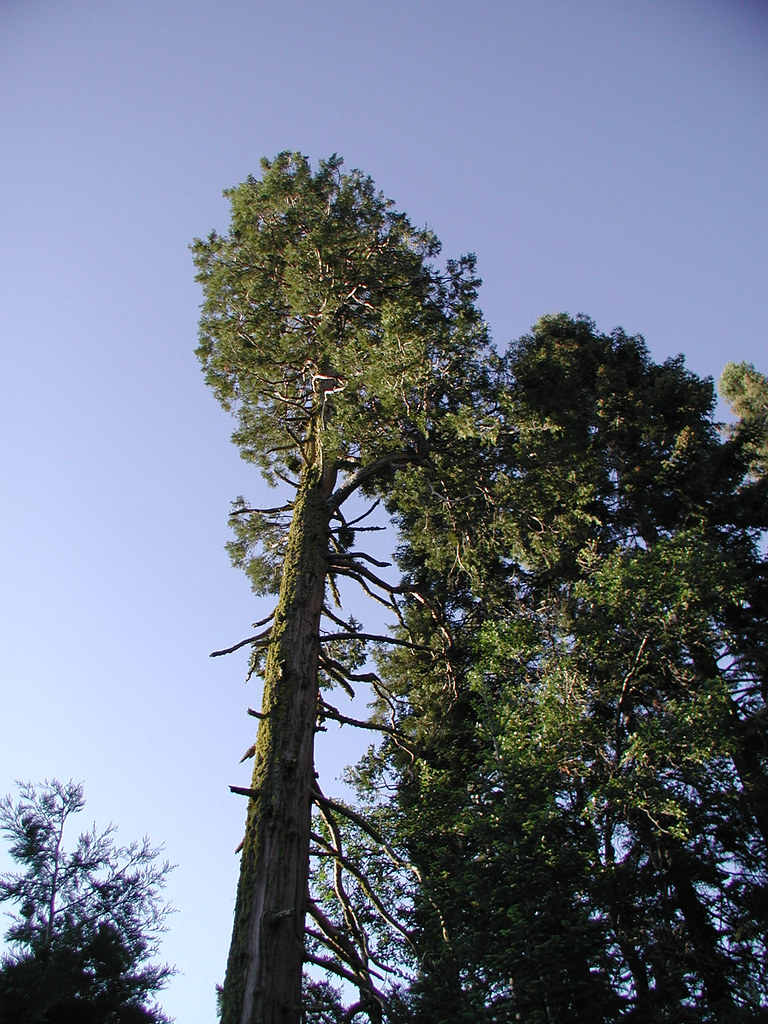 Photo: selkovjr, CC BY 2.0 (via Flickr)
Powderhorn
~1h 14m drive
9.46-mile out-and-back trail in California with 3,110 ft elevation gain.
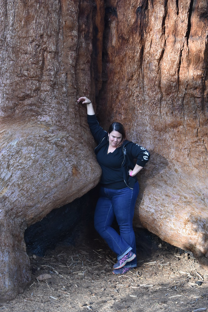 Photo: reverendlukewarm — CC BY-SA 2.0 (via Flickr)
Trail of 100 Giants
~1h 15m drive
1.33-mile out-and-back trail in California with 116 ft of elevation gain.
Chute
~1h 8m drive
8-mile out-and-back trail in California with 2,930 ft elevation gain.
Bear Creek Trail
~1h 17m drive
12.74-mile out-and-back trail in California with 5,552 ft gain and 9,041 ft max elevation.
 Photo: USDAgov, Public Domain Mark (via Flickr)
Cattle Run
~1h 14m drive
5.07-mile out-and-back trail in California with 299 ft of elevation gain.
Covey Trail
~26 min drive
0.91-mile out-and-back hike in California with 216 ft max elevation.
Frog Meadow
~1h 13m drive
6.84-mile out-and-back trail in California with 3,221 ft elevation gain.
Dunn Fire
~1h 13m drive
5.80-mile out-and-back trail in California with 734 ft gain.
Tulare Basin Explorer Trail
~26 min drive
0.50-mile out-and-back trail in Tulare Basin, California.

