Pacheco Creek Trail
- 4.0 mi
- round trip
- 1,170 ft
- climb
- 2,246 ft
- high point
- Out and back
- route
Caution today
Weather is marginal · OpenWeather · checked just now
Pacheco Creek Trail is a moderate out-and-back hike of about 8 miles in Henry W. Coe State Park in California. It rises from 1,718 feet to a high point of 2,246 feet, with a total climb of about 1,170 feet over the round trip. The steepest stretch comes around mile 3.8, where the trail reaches a 10% grade. The hike is managed by State Park and Recreation. The trail is well suited to a full day on foot. Plan on about 3.5 hours, and allow for the climb, which is steeper in the middle of the route. Several other trails sit within a mile of the trailhead. Ridge Trail is about 0.4 miles away and Phoneline Trail about 0.5 miles. Pacheco Falls Trail is about 0.7 miles away, and Coit Ridge Trail is about 0.8 miles away.
- Ridge TrailHiking0.4 mi
- Phoneline TrailHiking0.5 mi
 Pacheco Falls TrailHikingPhoto: ilya_ktsn, CC BY 2.0 (via Flickr)0.7 mi
 Coit Ridge TrailHikingPhoto: Dave Raiman, CC BY 3.0 (via Wikimedia Commons)0.8 mi
- Mississippi Ridge TrailHiking0.8 mi
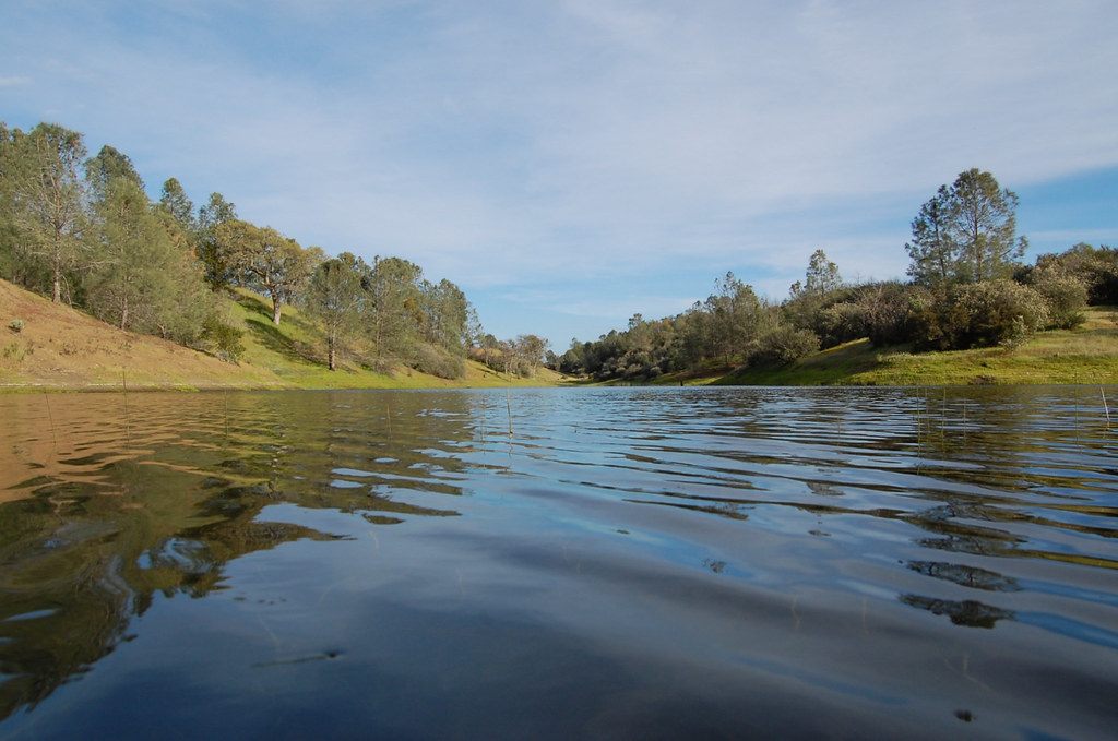 Rose Dam TrailHikingPhoto: ilya_ktsn, CC BY 2.0 (via Flickr)0.9 mi
- Coit Dam TrailHikingPhoto: Dave Raiman, CC BY 3.0 (via Wikimedia Commons)0.9 mi
- Live Oak Spring TrailHikingPhoto: ilya_ktsn, CC BY 2.0 (via Flickr)1 mi
Source: Roamze catalog (indexable pages within 10 miles, PostGIS distance)
- Pacheco Falls TrailHiking · ~1 min drivePhoto: ilya_ktsn, CC BY 2.0 (via Flickr)
- Coit Ridge TrailHiking · ~1 min drivePhoto: Dave Raiman, CC BY 3.0 (via Wikimedia Commons)
- Mudd Spring TrailHiking · ~2 min drivePhoto: ilya_ktsn, CC BY 2.0 (via Flickr)
- Rose Dam TrailHiking · ~2 min drivePhoto: ilya_ktsn, CC BY 2.0 (via Flickr)
- Gunsight TrailHiking · ~2 min drivePhoto: ilya_ktsn, CC BY 2.0 (via Flickr)
- Coit Dam TrailHiking · ~2 min drivePhoto: Dave Raiman, CC BY 3.0 (via Wikimedia Commons)
- Mississippi Ridge TrailHiking · ~1 min drive
- Live Oak Spring TrailHiking · ~2 min drivePhoto: ilya_ktsn, CC BY 2.0 (via Flickr)
- Alquist TrailHiking · ~3 min drive
- George Milas TrailHiking · ~2 min drivePhoto: ilya_ktsn, CC BY 2.0 (via Flickr)
Map and trail data © OpenStreetMap contributors
