Pinnacles Campground
Campground
Campground · 1.8 mi from the trail
 Photo: lamblukas, CC BY 2.0 (via Flickr)
Alert in the area
The National Park Service lists an alert for Pinnacles National Park.
Fire Danger LOW
Park alert covering Pinnacles National Park · NPS · Pinnacles National Park
As of · Source: NPS · Pinnacles National Park. Agencies don't list every closure — check before you go.
Old Pinnacles Trail is a National Park Service hike in California's Pinnacles National Park. It is a hard out-and-back route, about 4 miles long, that gains roughly 1,400 feet of elevation over the course of the round trip, with the high point at 1,247 feet. The start sits at 1,047 feet, and the steepest stretch comes at about 0.6 miles, with a grade of 10 percent. The most comfortable time to go is spring or fall. Typical averages from a nearby weather station show April highs around 72°F with lows near 39°F and about six wet days, while October runs similar at about 82°F by day and 43°F at night. Summer is hot, with July and August highs averaging around 96°F. The trail is open year-round. Plan for about two hours on foot. The North Wilderness Trail begins just 0.2 miles away. Within about a mile are the Blue Oak Trail and the climbing areas at High Peaks North and Machete Ridge.
Pinnacles Campground
Campground
Palmas Restaurant
Restaurant
Places © OpenStreetMap contributors
More in GonzalesNorth Wilderness TrailHikingPhoto: lamblukas, CC BY 2.0 (via Flickr)0.2 mi Blue Oak TrailHikingPhoto: sfbaywalk from Oakland, Cal, CC BY 2.0 (via Wikimedia Commons)1 mi
 Bear Gulch TrailHikingPhoto: lamblukas, CC BY 2.0 (via Flickr)1.1 mi
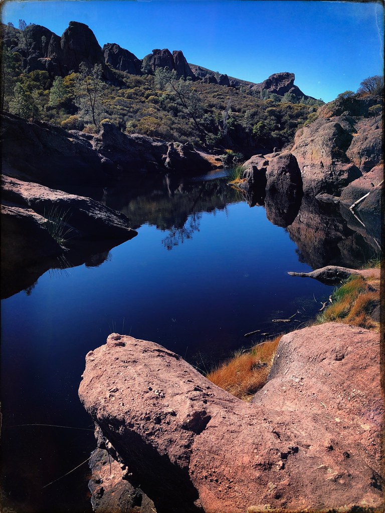 Bench TrailHikingPhoto: JingKe888, CC BY 2.0 (via Flickr)1.3 mi
 High Peaks NorthRock climbingPhoto: lamblukas, CC BY 2.0 (via Flickr)1.3 mi
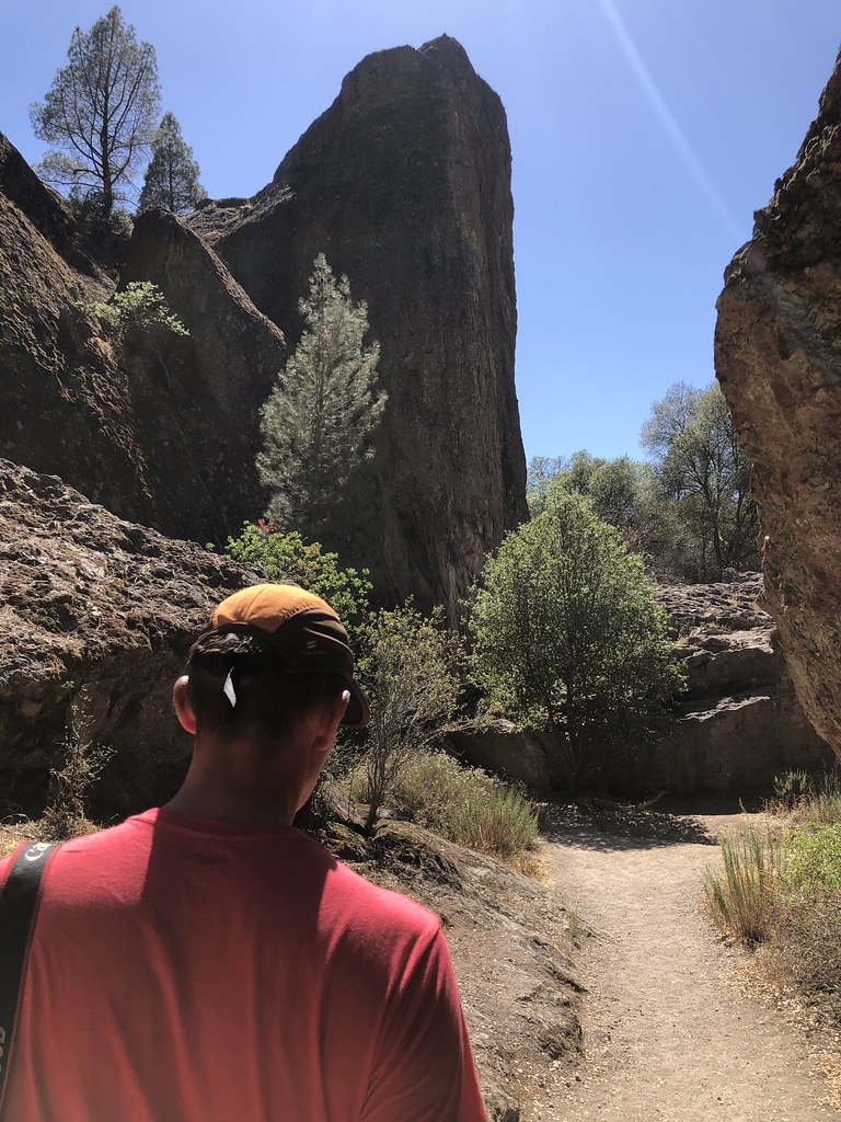 Machete RidgeRock climbingPhoto: randomduck, CC BY-SA 2.0 (via Flickr)1.3 miMain FaceRock climbingPhoto: randomduck, CC BY-SA 2.0 (via Flickr)1.3 mi
Source: Roamze catalog (indexable pages within 10 miles, PostGIS distance)
North Wilderness TrailHiking · Next doorPhoto: lamblukas, CC BY 2.0 (via Flickr)Blue Oak TrailHiking · ~2 min drivePhoto: sfbaywalk from Oakland, Cal, CC BY 2.0 (via Wikimedia Commons)Bear Gulch TrailHiking · ~2 min drivePhoto: lamblukas, CC BY 2.0 (via Flickr) Balconies Cliffs TrailHiking · ~2 min drivePhoto: Vadim Manuylov, CC BY-SA 3.0 (via Wikimedia Commons)
 High Peaks TrailHiking · ~3 min drivePhoto: lamblukas, CC BY 2.0 (via Flickr)Bench TrailHiking · ~2 min drivePhoto: JingKe888, CC BY 2.0 (via Flickr)
 High Peaks TrailHiking · ~3 min drivePhoto: lamblukas, CC BY 2.0 (via Flickr)
 Juniper Canyon TrailHiking · ~3 min drivePhoto: Vadim Manuylov, CC BY-SA 3.0 (via Wikimedia Commons)
 Balconies Caves TrailHiking · ~2 min drivePhoto: rtilden, CC BY 2.0 (via Flickr)
Also worth it near here
High Peaks NorthRock climbing · ~2 min drivePhoto: lamblukas, CC BY 2.0 (via Flickr) Hawkins PeakSummit · ~2 min drivePhoto: Clyde Charles Brown, CC BY-SA 4.0 (via Wikimedia Commons)
 Pinnacles CampgroundCamping · ~3 min drivePhoto: niiicedave — CC BY-SA 2.0 (via Flickr)
Best months: October–May. Best months have typical highs of 55–85 °F, lows of 30 °F or warmer (32 °F where the station doesn't record snow), at most one snowy day and no more than 12 wet days.
Jan
63° / 34°
12 wet
Feb
64° / 36°
11 wet
Mar
68° / 38°
10 wet
Apr
72° / 39°
6 wet
May
80° / 43°
3 wet
Jun
89° / 47°
1 wet
Jul
96° / 50°
0 wet
Aug
96° / 50°
0 wet
Sep
92° / 48°
1 wet
Oct
82° / 43°
3 wet
Nov
70° / 37°
7 wet
Dec
62° / 33°
11 wet
Typical high / low (°F) and days with rain or snow, 1991–2020. Measured at Pinnacles Nm, CA, 1.3 mi away at 1,307 ft. Source: NOAA NCEI U.S. Climate Normals 1991–2020.
Map and trail data © OpenStreetMap contributors
