Ocean Lake Loop
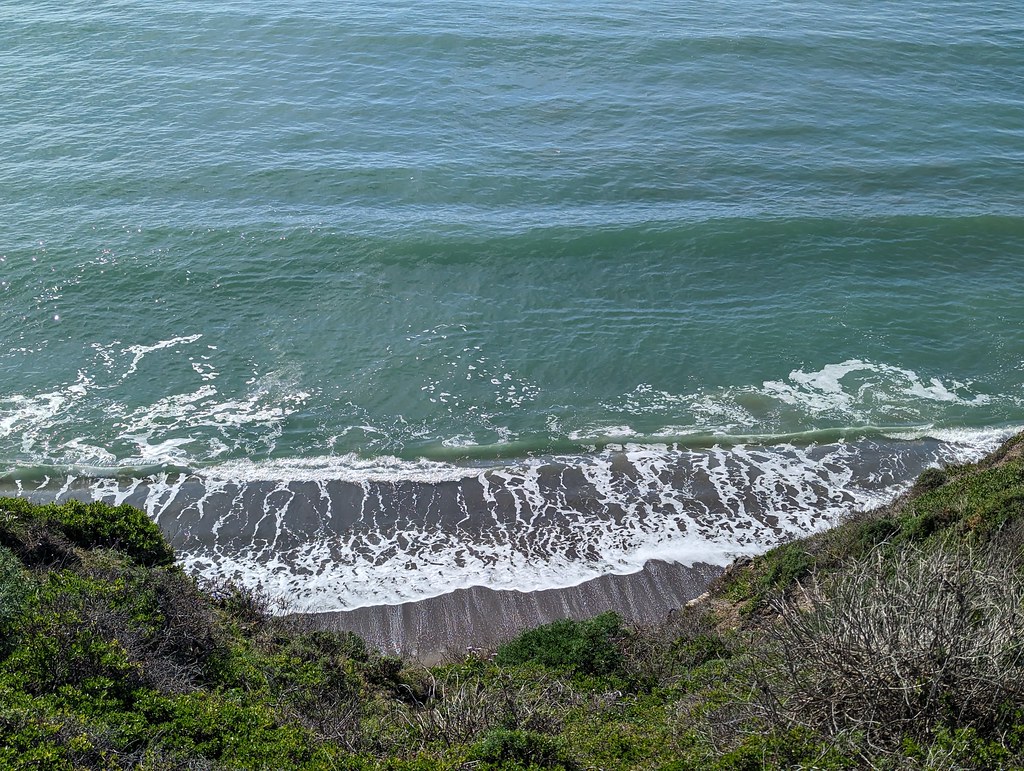
 Photo: lamblukas, CC BY 2.0 (via Flickr)
- 1.1 mi
- round trip
- 990 ft
- climb
- 319 ft
- high point
- Out and back
- route
- Jan–Dec
- best months
Is Ocean Lake Loop open right now?
Closure in the area
There's a closure order in Point Reyes National Seashore. It doesn't name Ocean Lake Loop, so check the source for the area it covers (2 listed).
Road Closures and Advisories: Mt. Vision Road & Limantour Road
Park closure covering Point Reyes National Seashore · NPS · Point Reyes National Seashore
Delayed Openings: Bear Valley and Lighthouse Visitor Centers
Park closure covering Point Reyes National Seashore · NPS · Point Reyes National Seashore
Beach Hazards Statement and High Surf Warning in effect through 11/15
Park alert covering Point Reyes National Seashore · NPS · Point Reyes National Seashore
As of · Source: NPS · Point Reyes National Seashore. Agencies don't list every closure — check before you go.
Ocean Lake Loop is a 2.2-mile out-and-back trail in California with 990 feet of elevation gain and loss. The trail reaches a maximum elevation of 319 feet.
Local outfitters
- Point Reyes Outdoors7 mi away
Not on Roamze yet. Their page has how to reach them.
- Wildcat Campground LoopHiking · Next doorPhoto: lamblukas, CC BY 2.0 (via Flickr)
 Stewart TrailHiking · Next doorPhoto: ilya_ktsn, CC BY 2.0 (via Flickr)
 Coast TrailHiking · ~3 min drivePhoto: DBerry2006, CC BY 2.0 (via Flickr)
 Bolinas Ridge TrailHiking · ~8 min drivePhoto: lamblukas, CC BY 2.0 (via Flickr)
 Old Out Road TrailHiking · Next doorPhoto: lamblukas, CC BY 2.0 (via Flickr)
 Coast TrailHiking · ~2 min drivePhoto: lamblukas, CC BY 2.0 (via Flickr)
 Sky TrailHiking · ~4 min drivePhoto: Jesse Wagstaff, CC BY 2.0 (via Flickr)
 Coast/Glen Spur SouthHiking · ~2 min drivePhoto: ilya_ktsn, CC BY 2.0 (via Flickr)
- Stewart TrailHiking · ~2 min drivePhoto: ilya_ktsn, CC BY 2.0 (via Flickr)
 Ridge TrailHiking · ~7 min drivePhoto: Kurt Minard, CC BY-SA 3.0 (via Wikimedia Commons)
Best time to visit Ocean Lake Loop
Best months: Year-round. Best months have typical highs of 55–85 °F, lows of 30 °F or warmer (32 °F where the station doesn't record snow), at most one snowy day and no more than 12 wet days.
Jan
57° / 42°
11 wet
Feb
61° / 43°
11 wet
Mar
65° / 44°
10 wet
Apr
69° / 46°
6 wet
May
74° / 50°
4 wet
Jun
80° / 52°
1 wet
Jul
83° / 53°
0 wet
Aug
83° / 54°
0 wet
Sep
82° / 53°
1 wet
Oct
76° / 50°
4 wet
Nov
64° / 45°
8 wet
Dec
56° / 42°
11 wet
Typical high / low (°F) and days with rain or snow, 1991–2020. Measured at Kentfield, CA, 13.2 mi away at 145 ft. Source: NOAA NCEI U.S. Climate Normals 1991–2020.

Map and trail data © OpenStreetMap contributors
