Bothe-Napa Valley State Park Campground
Campground
Campground · 5.3 mi from the trail
Northern Loop singletrack is a short, easy out-and-back hike of about 1.1 miles on the PUC Demonstration and Experimental Forest in California. The trail gains about 188 feet of elevation in total, with the steepest stretch coming at the start. It begins and ends at about 1,855 feet, with a high point of about 1,903 feet. Spring and fall are the most comfortable times to go. Typical averages from a nearby weather station show May highs around 73°F and October highs around 72°F, while July and August reach the mid-80s and winter brings frequent wet days. The route takes about half an hour, so it fits easily into a day spent exploring the surrounding trails. Jamie's Cryin and the Slackline Trail (Goat Track) are both about a mile away, and the Lower Loop mountain biking route is close by as well. Climbers can head to Mossy Rock, about 1.2 miles off.
Bothe-Napa Valley State Park Campground
Campground
 If it rainsFrank Schulenburg, CC BY-SA 4.0 · Wikimedia Commons
Places © OpenStreetMap contributors, Places © Overture Maps Foundation · Photos: Frank Schulenburg, CC BY-SA 4.0 (commons)
More in TemelecNot on Roamze yet. Their page has how to reach them.
 Napa RiverCanoeingPhoto: Allen Lew (w:Flickr user enlewof), CC BY 2.0 (via Wikimedia Commons)7.1 mi
Source: Roamze catalog (indexable pages within 10 miles, PostGIS distance)
 Devil's Punchbowl TrailHiking · ~2 min drivePhoto: Skyfirex, CC BY-SA 3.0 (via Wikimedia Commons)John Hoffnagle LoopHiking · ~3 min drivePhoto: Skyfirex, CC BY-SA 3.0 (via Wikimedia Commons)
 Whiskey RidgeHiking · ~12 min drivePhoto: Kurt Minard, CC BY-SA 3.0 (via Wikimedia Commons)
 Palisades TrailHiking · ~15 min drivePhoto: theforestprimeval, CC BY-SA 2.0 (via Flickr)Linda Falls TrailHiking · ~3 min drivePhoto: Skyfirex, CC BY-SA 3.0 (via Wikimedia Commons)Conn PeakHiking · ~13 min drivePhoto: Kurt Minard, CC BY-SA 3.0 (via Wikimedia Commons)
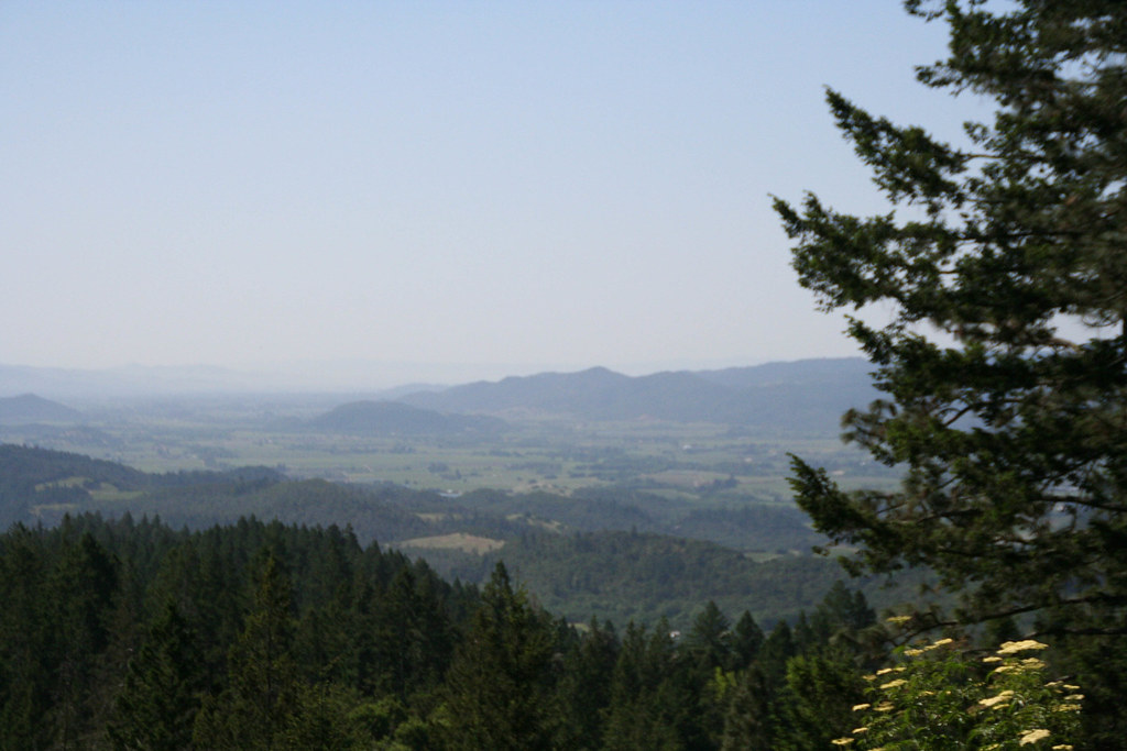 Old Sawmill TrailHiking · ~4 min drivePhoto: csitko, CC BY 2.0 (via Flickr)
 Table Rock TrailHiking · ~15 min drivePhoto: theforestprimeval, CC BY-SA 2.0 (via Flickr)
Best months: February–November. Best months have typical highs of 55–85 °F, lows of 30 °F or warmer (32 °F where the station doesn't record snow), at most one snowy day and no more than 12 wet days.
Jan
54° / 39°
13 wet
Feb
56° / 40°
11 wet
Mar
60° / 41°
11 wet
Apr
66° / 42°
8 wet
May
73° / 47°
4 wet
Jun
80° / 51°
1 wet
Jul
85° / 54°
0 wet
Aug
84° / 54°
0 wet
Sep
81° / 53°
1 wet
Oct
72° / 50°
4 wet
Nov
60° / 43°
9 wet
Dec
53° / 39°
13 wet
Typical high / low (°F) and days with rain or snow, 1991–2020. Measured at Angwin Pacific Union College, CA, 0.9 mi away at 1,715 ft. This station doesn't record snowfall. Source: NOAA NCEI U.S. Climate Normals 1991–2020.
Map and trail data © OpenStreetMap contributors
