Mono Vista RV Park
Campground
Campground · 5.4 mi from the trail
 Photo: Michael Gäbler (talk · contribs), CC BY 3.0 (via Wikimedia Commons)
Alert in the area
The Forest Service lists 3 alerts for Inyo National Forest.
Help Halt Golden Mussel Invasion
Agency alert covering Inyo National Forest · USFS · Inyo National Forest
Ansel Adams and John Muir Wilderness Campfire Restrictions
Agency alert covering Inyo National Forest · Order 05-04-50-25-04 · USFS · Inyo National Forest
Golden Trout and Hoover Wilderness Campfire Restrictions
Agency alert covering Inyo National Forest · Order 05-04-50-25-05 · USFS · Inyo National Forest
As of · Source: USFS · Inyo National Forest. Agencies don't list every closure — check before you go.
Navy Beach Trail is a short, easy walk in California's Mono Basin National Scenic Area, within the Mono Lake Ranger District of Inyo National Forest. The Forest Service manages the land, and the trail's out-and-back route is just under a mile long, with a round-trip elevation gain of about 89 feet. It starts at roughly 6,389 feet and reaches a high point of about 6,397 feet. The most comfortable months are typically late spring and early fall. Typical averages from a nearby weather station in Lee Vining, CA, run from highs around 66°F and lows near 40°F in May to highs around 76°F and lows near 45°F in September. That station sits about 400 feet higher than the trail, so temperatures on the trail itself run slightly warmer. The hike takes about half an hour, so it makes a quick addition to a day spent exploring the surrounding area. Within about 1.6 miles are the Panum Crater Plug Trail and the Panum Crater - Rim hike. June Lake Bouldering is about 6.6 miles away, and Lower Lee Vining Campground is about 6.9 miles away.
Mono Vista RV Park
Campground
Places © OpenStreetMap contributors
More in Mammoth LakesNot on Roamze yet. Their page has how to reach them.
 Panum Crater Plug TrailHikingPhoto: GSEC, CC BY 2.0 (via Flickr)1.6 miPanum Crater - RimHikingPhoto: GSEC, CC BY 2.0 (via Flickr)1.6 mi
 * June Lake BoulderingRock climbingPhoto: GSEC, CC BY 2.0 (via Flickr)6.6 mi
 Rush CreekCanoeingPhoto: Greg Reis, CC BY-SA 3.0 (via Wikimedia Commons)8.3 mi
Source: Roamze catalog (indexable pages within 10 miles, PostGIS distance)
 South Tufa Loop TrailHiking · Next doorPhoto: bgwashburn, CC BY 2.0 (via Flickr)
 I-JUNE LAKE TO BALD MTN SMHiking · ~15 min drivePhoto: mjhbower, CC BY-SA 2.0 (via Flickr)
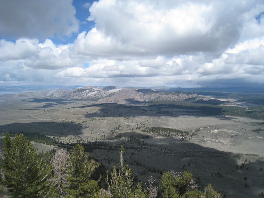 Reversed Peak TrailHiking · ~18 min drivePhoto: GSEC, CC BY 2.0 (via Flickr)
 Alger Lakes TrailHiking · ~22 min drivePhoto: Jesse Wagstaff, CC BY 2.0 (via Flickr)Panum Crater Plug TrailHiking · ~3 min drivePhoto: GSEC, CC BY 2.0 (via Flickr)
 Parker Bench TrailHiking · ~17 min drivePhoto: Perfect Zero, CC BY 2.0 (via Flickr)
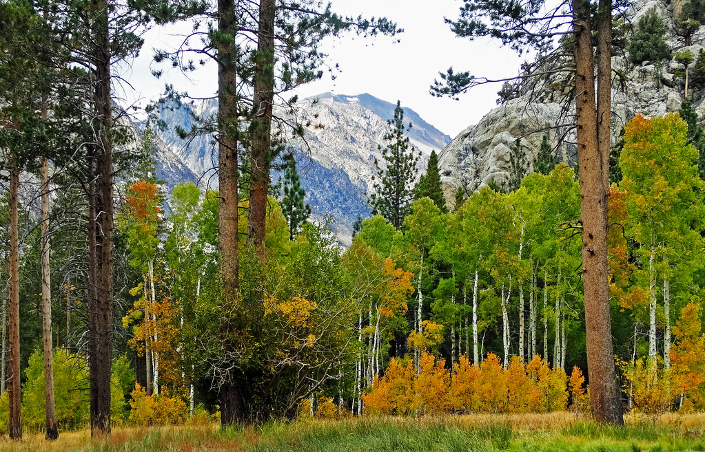 June Lake Loop TrailHiking · ~19 min drivePhoto: inkknife_2000 (14 million views), CC BY-SA 2.0 (via Flickr)Panum Crater - RimHiking · ~3 min drivePhoto: GSEC, CC BY 2.0 (via Flickr)
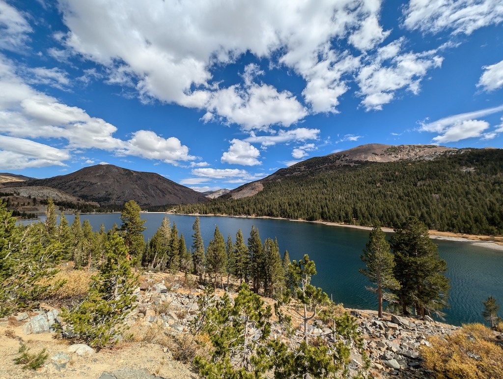 GLACIER CANYONHiking · ~21 min drivePhoto: RuggyBearLA, CC BY 2.0 (via Flickr)
Best months: April–October. Best months have typical highs of 55–85 °F, lows of 30 °F or warmer (32 °F where the station doesn't record snow), at most one snowy day and no more than 12 wet days.
Jan
41° / 21°
6 wet
Feb
44° / 23°
7 wet
Mar
51° / 28°
6 wet
Apr
58° / 32°
4 wet
May
66° / 40°
4 wet
Jun
77° / 47°
3 wet
Jul
84° / 54°
3 wet
Aug
83° / 52°
3 wet
Sep
76° / 45°
2 wet
Oct
65° / 36°
3 wet
Nov
53° / 28°
4 wet
Dec
42° / 22°
6 wet
Typical high / low (°F) and days with rain or snow, 1991–2020. Measured at Lee Vining, CA, 5.2 mi away at 6,797 ft. This station doesn't record snowfall. Source: NOAA NCEI U.S. Climate Normals 1991–2020.
Map and trail data © OpenStreetMap contributors
