Tioga Lake Cg
Campground
Campground · 1.2 mi from the trail
 Photo: mtnscll, CC BY-SA 2.0 (via Flickr)
Closure in the area
There's a closure order in Yosemite National Park. It doesn't name Mount Dana Trail, so check the source for the area it covers.
Tioga and Glacier Point Roads are closed due snow
Park closure covering Yosemite National Park · NPS · Yosemite National Park
As of · Source: NPS · Yosemite National Park. Agencies don't list every closure — check before you go.
Mount Dana Trail is a moderate out-and-back hike in Yosemite National Park, managed by the National Park Service, about 8 miles from the town of Lee Vining, California. The trail is roughly 5 miles long, with a total elevation gain of about 3,300 feet, and it reaches a high point of about 13,000 feet. The climb is front-loaded, with the steepest stretch coming around 2.2 miles in, where the grade reaches about 56 percent. The trail starts at about 9,940 feet and ends at a similar elevation, so the total gain and loss are each about 3,300 feet. The hike takes about 3.5 hours. The Gaylor Lakes Trail starts just 0.1 mile away, and the Glacier Canyon Trail is about 0.7 mile off. Tioga Lake Campground is about 1.2 miles away, and the Golden Rock climbing area is about 1.8 miles away.
Tioga Lake Cg
Campground
Tuolumne Meadows Grill
Fast food
 If it rainsEeekster, CC BY 3.0 · Wikimedia Commons
Sierra Point
Viewpoint
Point in Yosemite National Park at the eastern end of the valley
Places © OpenStreetMap contributors · Photos: Eeekster, CC BY 3.0 (commons)
More in Yosemite ValleyNot on Roamze yet. Their page has how to reach them.
Daily highs and lows, wind and the chance of precipitation at the summit and route start for the next 7 days, from the Open-Meteo model.
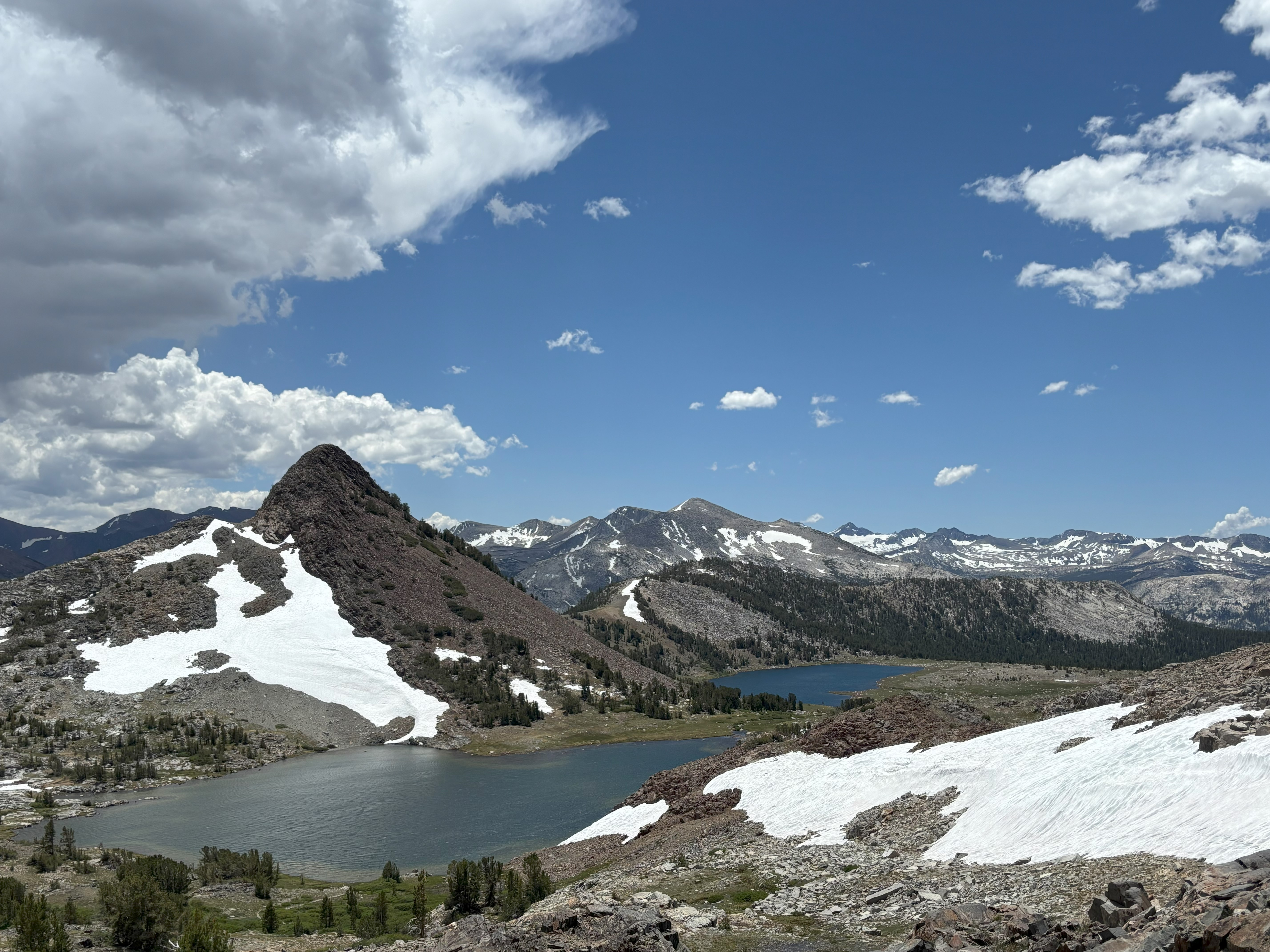 Gaylor Lakes TrailHiking0.1 mi
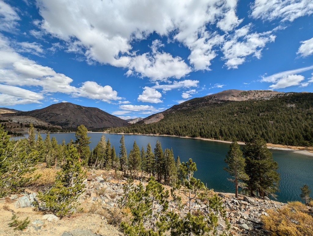 Glacier Canyon TrailHikingPhoto: RuggyBearLA, CC BY 2.0 (via Flickr)0.7 miGLACIER CANYONHikingPhoto: RuggyBearLA, CC BY 2.0 (via Flickr)0.8 mi
 Tioga Lake CgCampingPhoto: waterarchives — CC BY-SA 2.0 (via Flickr)1.2 mi
 Rush CreekCanoeingPhoto: Greg Reis, CC BY-SA 3.0 (via Wikimedia Commons)9 mi
Source: Roamze catalog (indexable pages within 10 miles, PostGIS distance)
 Rafferty Creek TrailHiking · ~8 min drivePhoto: swat671, CC BY-SA 2.0 (via Flickr)
 Pacific Crest TrailHiking · ~9 min drivePhoto: BOB PERRY, CC BY 3.0 (via Wikimedia Commons)Glacier Canyon TrailHiking · ~1 min drivePhoto: RuggyBearLA, CC BY 2.0 (via Flickr)
 Nunatak Tioga Tarns TrailHiking · ~3 min drivePhoto: RuggyBearLA, CC BY 2.0 (via Flickr)
 Young Lakes TrailHiking · ~12 min drivePhoto: BOB PERRY, CC BY 3.0 (via Wikimedia Commons)GLACIER CANYONHiking · ~1 min drivePhoto: RuggyBearLA, CC BY 2.0 (via Flickr)BENNETVILLE VIS LOOPHiking · ~3 min drivePhoto: RuggyBearLA, CC BY 2.0 (via Flickr)
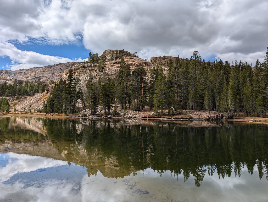 Bennetville Loop TrailHiking · ~3 min drivePhoto: RuggyBearLA, CC BY 2.0 (via Flickr)
Also worth it near here
Tioga Lake CgCamping · ~2 min drivePhoto: waterarchives — CC BY-SA 2.0 (via Flickr) Mount DanaSummit · ~4 min drivePhoto: Jim Bahn, CC BY 2.5 (via Wikimedia Commons)
 Just Another Social Distancing CragRock climbing · ~4 min drivePhoto: King of Hearts, CC BY-SA 3.0 (via Wikimedia Commons)
About 2.6 mi round trip.
About 3,310 ft of climbing round trip.
It is rated moderate.
About 2.5 hours round trip.
Map and trail data © OpenStreetMap contributors
