Mill Creek Trail
- 7.8 mi
- round trip
- 5,028 ft
- climb
- 6,759 ft
- high point
- Out and back
- route
Is Mill Creek Trail open right now?
Closure in the area
There's a closure order in Sequoia National Forest. It doesn't name Mill Creek Trail, so check the source for the area it covers (2 listed).
Tule River Glass Container Prohibition Area
Agency closure covering Sequoia National Forest · Order 0513-26-02 · USFS · Sequoia National Forest
Trail of 100 Giants Boardwalk and Area Closure
Agency closure covering Sequoia National Forest · Order 0513-26-03 · USFS · Sequoia National Forest
PUBLIC NUDITY PROHIBITION - Sequoia National Forest
Agency alert covering Sequoia National Forest · Order 0513-26-06 · USFS · Sequoia National Forest
Chico Flat Dispersed Camping Area Prohibition 26-27
Agency alert covering Sequoia National Forest · Order 0513-26-09 · USFS · Sequoia National Forest
Wildlife Alert - BEARS
Agency alert covering Sequoia National Forest · USFS · Sequoia National Forest
As of · Source: USFS · Sequoia National Forest. Agencies don't list every closure — check before you go.
Mill Creek Trail is a long, steep out-and-back hike in the Kern River Ranger District of Sequoia National Forest in California. The trail's elevation profile is back-loaded, meaning the climb is hardest at the end, and it covers a total distance of about 15.5 miles with a total gain of about 5,028 feet. The high point on the route is about 6,759 feet, and the start sits at about 6,709 feet. The trail is an expert-level route, and the steepest stretch comes around mile 3.9, where the grade reaches about 33%. The trip takes about 7.5 hours. Breckenridge Campground lies just 0.7 miles away, and the Sheep Trough Cutoff Trail and Lucus Ridge Trail are both about 1.8 miles off. Owl Rock, a climbing area, is about 6.3 miles away.
- BreckenridgeCamping0.7 mi
- Sheep Trough Cutoff TrailHiking1.8 mi
- Lucus Ridge TrailHiking1.8 mi
- Deer Spring TrailHiking2.8 mi
 Owl RockRock climbingPhoto: Annette Teng, CC BY 3.0 (via Wikimedia Commons)6.3 mi
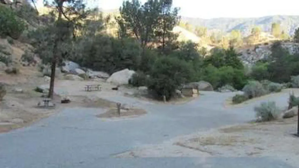 Sandy FlatCampingPhoto: Recreation.gov (RIDB) / public domain7.2 mi
- Hobo CampgroundCamping7.3 mi
- Bald Eagle PeakRock climbing7.3 mi
Source: Roamze catalog (indexable pages within 10 miles, PostGIS distance)
 MILL CREEKHiking · ~8 min drivePhoto: Terry Lucas, CC BY 3.0 (via Wikimedia Commons)
- Patch CornerHiking · ~9 min drivePhoto: Terry Lucas, CC BY 3.0 (via Wikimedia Commons)
 StarkHiking · ~12 min drivePhoto: Alexander Hatley, CC BY 2.0 (via Flickr)
- Solomon Trail (TR 46)Hiking · ~15 min drive
 Remington Ridge TrailHiking · ~12 min drivePhoto: daveynin, CC BY 2.0 (via Flickr)
 KERN RIVER TRAILHiking · ~10 min drivePhoto: string_bass_dave, CC BY-SA 2.0 (via Flickr)
- Lucus Ridge TrailHiking · ~3 min drive
- PowerhouseHiking · ~17 min drive
- KERN CANYONHiking · ~12 min drive
 Hobo FishingHiking · ~13 min drivePhoto: waterarchives, CC BY-SA 2.0 (via Flickr)
Map and trail data © OpenStreetMap contributors
