Luther Pass Campground
Campground
Campground · 0.7 mi from the trail
Closure in the area
There's a closure order in Lake Tahoe Basin Management Unit. It doesn't name Meiss Meadow- Round Lake Trail, so check the source for the area it covers.
Harmful Algal Blooms
Agency closure covering Lake Tahoe Basin Management Unit · USFS · Lake Tahoe Basin Management Unit
Desolation Wilderness Food and Refuse Storage (Bear Canister) Restriction
Agency alert covering Lake Tahoe Basin Management Unit · Order 19-25-06 · USFS · Lake Tahoe Basin Management Unit
Meyers Landfill Area Closure
Agency alert covering Lake Tahoe Basin Management Unit · Order 19-25-01 · USFS · Lake Tahoe Basin Management Unit
Campfire Restrictions
Agency alert covering Lake Tahoe Basin Management Unit · Order 19-24-04 · USFS · Lake Tahoe Basin Management Unit
Camping/Overnight Stay Restriction
Agency alert covering Lake Tahoe Basin Management Unit · Order 19-24-05 · USFS · Lake Tahoe Basin Management Unit
As of · Source: USFS · Lake Tahoe Basin Management Unit. Agencies don't list every closure — check before you go.
Meiss Meadow- Round Lake Trail is a 5.22-mile out-and-back hike in California with 1,422 feet of elevation gain. The trail follows an out-and-back route type.
Luther Pass Campground
Campground
360° Smokehouse BBQ
Restaurant
Baldwin Home
Museum
Places © OpenStreetMap contributors
More in Bear ValleyNot on Roamze yet. Their page has how to reach them.
 Waterfalls TrailHikingPhoto: jfdervin, CC BY-SA 2.0 (via Flickr)0.3 mi
Source: Roamze catalog (indexable pages within 10 miles, PostGIS distance)
Waterfalls TrailHiking · Next doorPhoto: jfdervin, CC BY-SA 2.0 (via Flickr) Luther Rocks Climber's TrailHiking · ~1 min drivePhoto: Scorewith German, CC BY 3.0 (via Wikimedia Commons)
 Pacific Crest TrailHiking · ~5 min drivePhoto: lewinb, CC BY-SA 2.0 (via Flickr)Elbert Lake TrailHiking · ~1 min drivePhoto: jfdervin, CC BY-SA 2.0 (via Flickr)
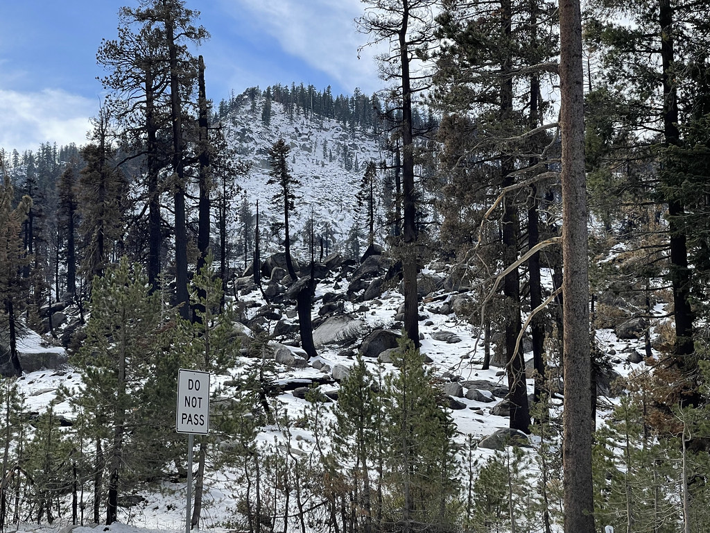 PCT ECHO SUMMIT CONNECTORHiking · ~2 min drivePhoto: sarahstierch, Public Domain Dedication (CC0) (via Flickr)Gunmount TrailHiking · ~6 min drivePhoto: lewinb, CC BY-SA 2.0 (via Flickr)
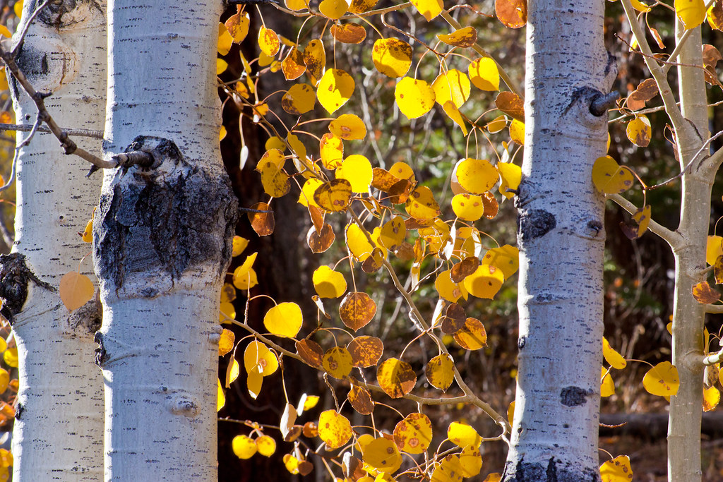 Luther ScottsHiking · ~7 min drivePhoto: Brandon.Levinger, CC BY 2.0 (via Flickr)FROG POND LOOPHiking · ~2 min drivePhoto: sarahstierch, Public Domain Dedication (CC0) (via Flickr)
 Picket Fence TrailHiking · ~6 min drivePhoto: jfdervin, CC BY-SA 2.0 (via Flickr)
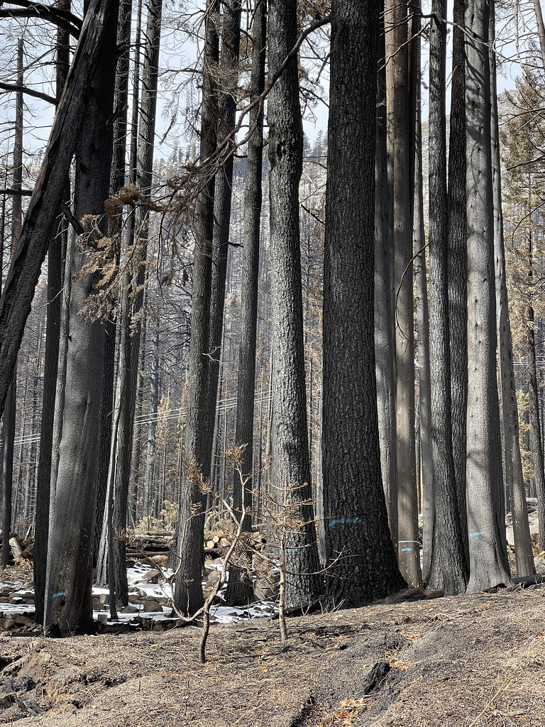 Pony Express TrailHiking · ~7 min drivePhoto: sarahstierch, Public Domain Dedication (CC0) (via Flickr)
Best months: May–October. Best months have typical highs of 55–85 °F, lows of 30 °F or warmer (32 °F where the station doesn't record snow), at most one snowy day and no more than 12 wet days.
Jan
36° / 23°
9 wet
Feb
37° / 23°
8 wet
Mar
42° / 26°
7 wet
Apr
48° / 29°
5 wet
May
56° / 35°
4 wet
Jun
66° / 42°
2 wet
Jul
75° / 49°
2 wet
Aug
74° / 49°
1 wet
Sep
67° / 44°
2 wet
Oct
55° / 36°
3 wet
Nov
43° / 28°
5 wet
Dec
35° / 23°
7 wet
Typical high / low (°F) and days with rain or snow, 1991–2020. Measured at Dagget Pass, NV, 14.3 mi away at 7,334 ft. This station doesn't record snowfall. Source: NOAA NCEI U.S. Climate Normals 1991–2020.

