River Bend Resort
Campground
Campground · 9.6 mi from the trail
Meadowlark Field Loop is a short, easy 0.92-mile loop in the Laguna de Santa Rosa Wetlands Preserve in California, a city-managed land unit. The route rises only about 33 feet from its starting point, so it works well as a quick addition to a longer outing in the preserve. The most comfortable months are late spring and early fall. Typical averages from the Graton weather station, about 3 miles away, run to highs near 75°F in May and 78°F in October, with only a few wet days in each. Winter brings highs in the upper 50s and about 13 wet days a month. The Laguna de Santa Rosa paddling route lies just 0.1 mile away, and the Laguna Trail is about a mile off. Farther out, the Blackberry Trail and Atascadero Creek offer more hiking and paddling within a few miles.
River Bend Resort
Campground
American cider company
 If it rainsWulfnoth of English Wikipedia, CC BY 3.0 · Wikimedia Commons
Places © OpenStreetMap contributors · Photos: Wulfnoth of English Wikipedia, CC BY 3.0 (commons)
More in TemelecNot on Roamze yet. Their page has how to reach them.
 Atascadero CreekCanoeingPhoto: Eugene Kim from San Francisco, USA, CC BY 2.0 (via Wikimedia Commons)2.6 mi
 Redtail TrailHikingPhoto: Roebot, CC BY-SA 2.0 (via Flickr)6.4 mi
 Mark West CreekCanoeingPhoto: Stepheng3 at English Wikipedia, Public domain (via Wikimedia Commons)8.4 mi
Source: Roamze catalog (indexable pages within 10 miles, PostGIS distance)
Redtail TrailHiking · ~11 min drivePhoto: Roebot, CC BY-SA 2.0 (via Flickr)Upper Colgan Creek TrailHiking · ~13 min drivePhoto: Roebot, CC BY-SA 2.0 (via Flickr)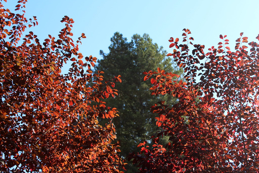 Camp Meeker TrailHiking · ~16 min drivePhoto: tsmattea1, CC BY 2.0 (via Flickr)Colgan Highlands LoopHiking · ~13 min drivePhoto: Roebot, CC BY-SA 2.0 (via Flickr)Sky Lupine TrailHiking · ~13 min drivePhoto: Roebot, CC BY-SA 2.0 (via Flickr)
 Canyon TrailHiking · ~16 min drivePhoto: bryce_edwards, CC BY 2.0 (via Flickr)Haystack TrailHiking · ~15 min drivePhoto: tsmattea1, CC BY 2.0 (via Flickr)John Beckmeyer TrailHiking · ~16 min drivePhoto: bryce_edwards, CC BY 2.0 (via Flickr)
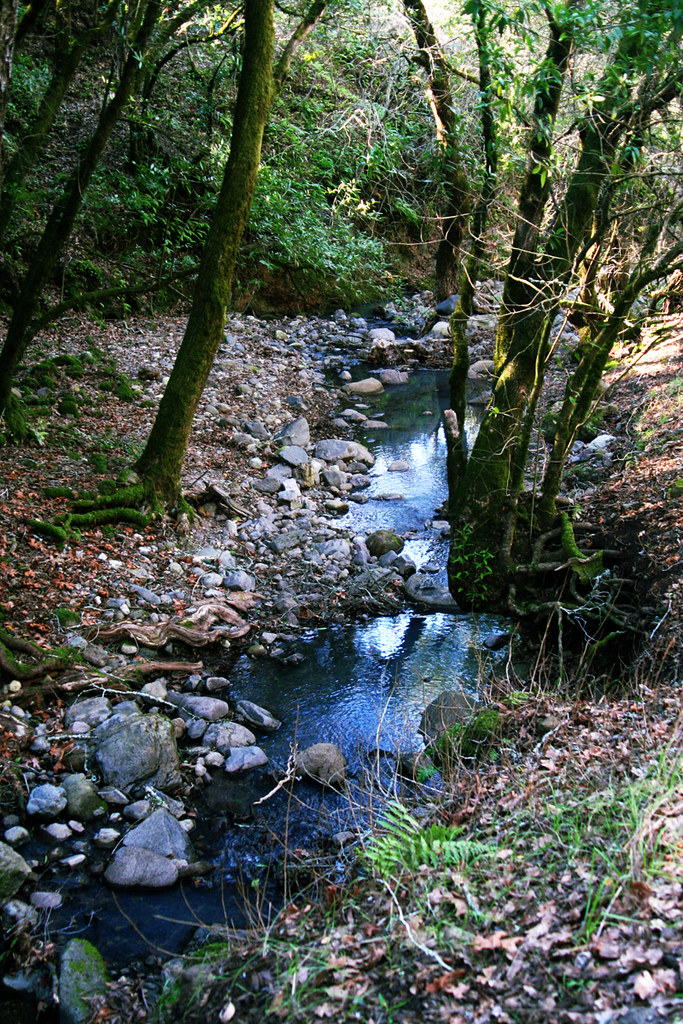 Cobblestone TrailHiking · ~16 min drivePhoto: Mike Disharoon, CC BY-SA 2.0 (via Flickr)
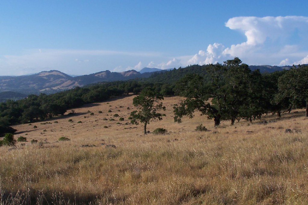 Happy TrailHiking · ~16 min drivePhoto: ((brian)), CC BY 2.0 (via Flickr)
Also worth it near here
Atascadero CreekCanoeing · ~4 min drivePhoto: Eugene Kim from San Francisco, USA, CC BY 2.0 (via Wikimedia Commons) Taylor MountainSummit · ~13 min drivePhoto: Stepheng3, CC BY-SA 3.0 (via Wikimedia Commons)
Best months: February–November. Best months have typical highs of 55–85 °F, lows of 30 °F or warmer (32 °F where the station doesn't record snow), at most one snowy day and no more than 12 wet days.
Jan
58° / 37°
13 wet
Feb
62° / 39°
12 wet
Mar
66° / 41°
11 wet
Apr
70° / 42°
7 wet
May
75° / 45°
4 wet
Jun
81° / 48°
2 wet
Jul
83° / 51°
1 wet
Aug
84° / 50°
1 wet
Sep
84° / 48°
2 wet
Oct
78° / 44°
4 wet
Nov
67° / 40°
9 wet
Dec
58° / 37°
13 wet
Typical high / low (°F) and days with rain or snow, 1991–2020. Measured at Graton, CA, 3.2 mi away at 200 ft. Source: NOAA NCEI U.S. Climate Normals 1991–2020.
Map and trail data © OpenStreetMap contributors
