Lupin Lodge
Campground
Campground · 2.5 mi from the trail
Madrone Knoll Trail is a short, easy hike in Bear Creek Redwoods Open Space Preserve, a regional agency-managed preserve in California. The trail is about 0.78 miles long and is an out-and-back route, with the high point at 2,434 feet and the low point at 2,044 feet. The climb is rolling, and the steepest stretch comes at about 0.36 miles in, with a grade of 19 percent. Late spring and early fall are the most comfortable times to go. Typical averages from a nearby weather station show May highs around 67°F and October highs around 71°F, while winter brings the most wet days, about 14 to 15 a month from December through February. The Upper Pete Siemens Trail is about 0.6 miles away, and the Redwood Springs Trail is about a mile off. Climbers can head to Lexington Rock, about 3.3 miles away, and paddlers to Zayante Creek, about 4.9 miles away.
Lupin Lodge
Campground
Black Ridge Vineyards
Bar
 If it rainsMrwrite, CC BY-SA 3.0 · Wikimedia Commons
Places © OpenStreetMap contributors · Photos: Mrwrite, CC BY-SA 3.0 (commons)
More in PescaderoDaily highs and lows, wind and the chance of precipitation at the summit and route start for the next 7 days, from the Open-Meteo model.
 Redwood Springs TrailHikingPhoto: donjd2, CC BY 2.0 (via Flickr)1 mi
 Middle Pete Siemens TrailHikingPhoto: Sean Foster, CC BY 3.0 (via Wikimedia Commons)1.6 mi
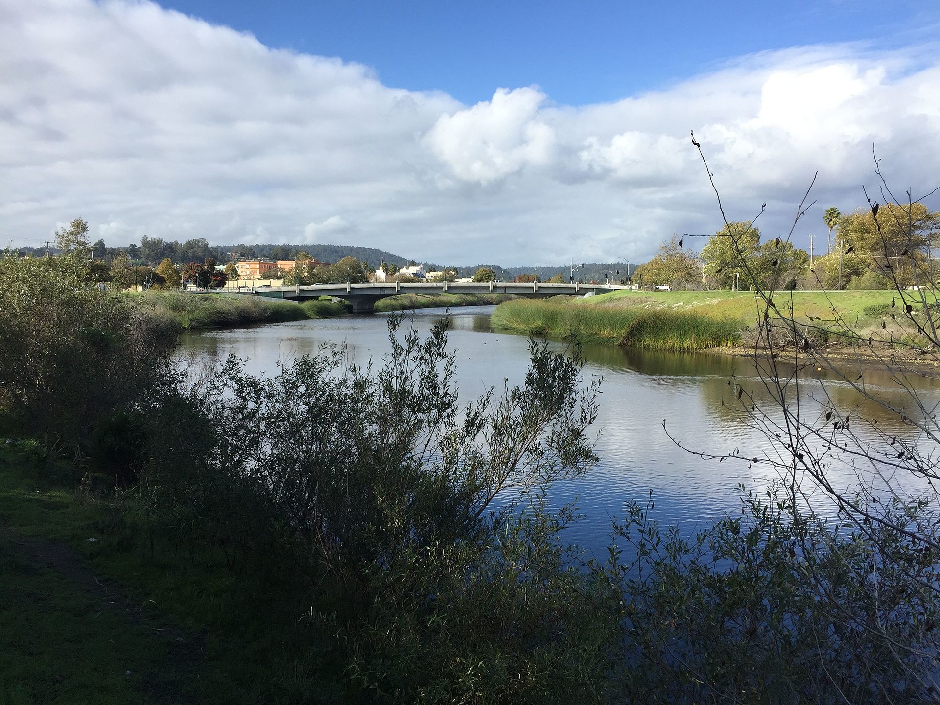 San Lorenzo RiverCanoeingPhoto: Chevy111, CC BY-SA 4.0 (via Wikimedia Commons)6.4 mi
Source: Roamze catalog (indexable pages within 10 miles, PostGIS distance)
Redwood Springs TrailHiking · ~2 min drivePhoto: donjd2, CC BY 2.0 (via Flickr)Middle Pete Siemens TrailHiking · ~3 min drivePhoto: Sean Foster, CC BY 3.0 (via Wikimedia Commons) Aquinas TrailHiking · ~6 min drivePhoto: Vadim Manuylov, CC BY-SA 3.0 (via Wikimedia Commons)
 Novitiate TrailHiking · ~6 min drivePhoto: Elf, CC BY-SA 3.0 (via Wikimedia Commons)Radio Hill TrailHiking · ~3 min drivePhoto: Sean Foster, CC BY 3.0 (via Wikimedia Commons)
 John Nicholas TrailHiking · ~7 min drivePhoto: Vadim Manuylov, CC BY-SA 3.0 (via Wikimedia Commons)
 Manzanita TrailHiking · ~6 min drivePhoto: chaircrusher, CC BY 2.0 (via Flickr)
 Salamander Springs TrailHiking · ~3 min drivePhoto: Elf, CC BY-SA 3.0 (via Wikimedia Commons)
 Sanborn TrailHiking · ~9 min drivePhoto: TyB, CC BY 2.0 (via Flickr)Limekiln TrailHiking · ~6 min drivePhoto: Elf, CC BY-SA 3.0 (via Wikimedia Commons)
Best months: April–November. Best months have typical highs of 55–85 °F, lows of 30 °F or warmer (32 °F where the station doesn't record snow), at most one snowy day and no more than 12 wet days.
Jan
55° / 41°
14 wet
Feb
55° / 40°
14 wet
Mar
58° / 41°
13 wet
Apr
62° / 43°
10 wet
May
67° / 47°
7 wet
Jun
75° / 52°
3 wet
Jul
81° / 58°
1 wet
Aug
81° / 59°
1 wet
Sep
79° / 57°
2 wet
Oct
71° / 52°
6 wet
Nov
60° / 44°
11 wet
Dec
54° / 40°
15 wet
Typical high / low (°F) and days with rain or snow, 1991–2020. Measured at Skyline Ridge Preserve, CA, 13.4 mi away at 2,270 ft. This station doesn't record snowfall. Source: NOAA NCEI U.S. Climate Normals 1991–2020.
About 0.8 mi round trip.
About 861 ft of climbing round trip.
It is rated moderate.
About 0.5 hours round trip.
Map and trail data © OpenStreetMap contributors
