Black Mountain Backpack Camp
Campground
Campground · 3.1 mi from the trail
 Photo: bsterling, CC BY-SA 2.0 (via Flickr)
Los Trancos Trail is an easy, short out-and-back hike in Foothills Park, on city land in California. The trail is about 1.3 miles long, with a round-trip elevation gain of 673 feet, and the high point sits at 1,245 feet. The route starts at about 935 feet and climbs steeply at first, with the steepest stretch at 0.29 miles in, reaching a 21% grade. The climb is front-loaded, so the hardest part comes early on. The most comfortable months for a visit are typically late spring and early fall. At a nearby weather station, typical average highs run around 67°F in May and 79°F in September, with only a few wet days in each. That station sits about 1,000 feet higher than the trail, so temperatures on the trail run warmer than those averages. The hike makes an easy pairing with other trails in the park. Toyon Trail and Steep Hollow Trail both lie about 0.2 miles away, and Sunrise Trail is about 0.3 miles off. Climbers can head to Aquarian Valley, roughly 4.6 miles away.
Black Mountain Backpack Camp
Campground
Jalisco's Grill
Mexican restaurant
 If it rainsIxfd64, CC BY-SA 4.0 · Wikimedia Commons
Places © OpenStreetMap contributors, Places © Overture Maps Foundation · Photos: Ixfd64, CC BY-SA 4.0 (commons)
More in PescaderoToyon TrailHikingPhoto: bsterling, CC BY-SA 2.0 (via Flickr)0.2 mi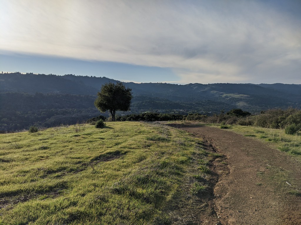 Steep Hollow TrailHikingPhoto: dbaron, CC BY-SA 2.0 (via Flickr)0.2 mi
 Sunrise TrailHikingPhoto: dbaron, CC BY-SA 2.0 (via Flickr)0.3 mi
Source: Roamze catalog (indexable pages within 10 miles, PostGIS distance)
Toyon TrailHiking · Next doorPhoto: bsterling, CC BY-SA 2.0 (via Flickr)Steep Hollow TrailHiking · Next doorPhoto: dbaron, CC BY-SA 2.0 (via Flickr)Costanoan TrailHiking · Next doorPhoto: bsterling, CC BY-SA 2.0 (via Flickr)Sunrise TrailHiking · Next doorPhoto: dbaron, CC BY-SA 2.0 (via Flickr) Los Trancos TrailHiking · Next doorPhoto: dbaron, CC BY-SA 2.0 (via Flickr)
 Chamise TrailHiking · Next doorPhoto: bsterling, CC BY-SA 2.0 (via Flickr)
 Panorama TrailHiking · ~2 min drivePhoto: bsterling, CC BY-SA 2.0 (via Flickr)
 Los Trancos TrailHiking · ~1 min drivePhoto: bsterling, CC BY-SA 2.0 (via Flickr)
 Toyon TrailHiking · ~2 min drivePhoto: bsterling, CC BY-SA 2.0 (via Flickr)Los Trancos TrailHiking · ~1 min drivePhoto: dbaron, CC BY-SA 2.0 (via Flickr)
Best months: April–November. Best months have typical highs of 55–85 °F, lows of 30 °F or warmer (32 °F where the station doesn't record snow), at most one snowy day and no more than 12 wet days.
Jan
55° / 41°
14 wet
Feb
55° / 40°
14 wet
Mar
58° / 41°
13 wet
Apr
62° / 43°
10 wet
May
67° / 47°
7 wet
Jun
75° / 52°
3 wet
Jul
81° / 58°
1 wet
Aug
81° / 59°
1 wet
Sep
79° / 57°
2 wet
Oct
71° / 52°
6 wet
Nov
60° / 44°
11 wet
Dec
54° / 40°
15 wet
Typical high / low (°F) and days with rain or snow, 1991–2020. Measured at Skyline Ridge Preserve, CA, 3 mi away at 2,270 ft. The station sits about 1,000 ft higher than this place, so expect it a little warmer here. This station doesn't record snowfall. Source: NOAA NCEI U.S. Climate Normals 1991–2020.
Map and trail data © OpenStreetMap contributors

