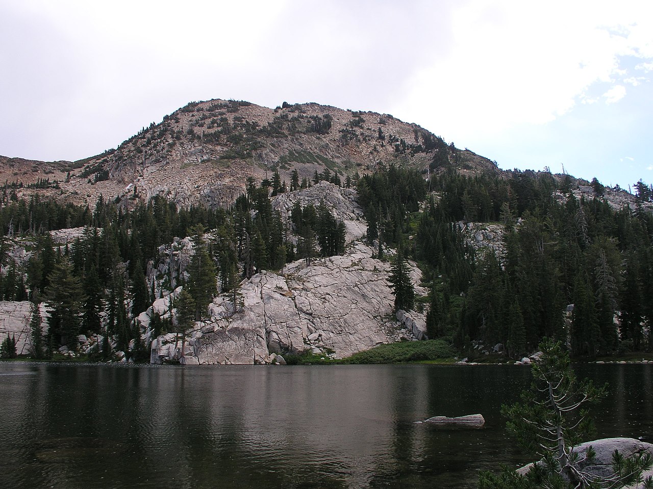
Wrights Lake
Campground
Campground · 4.0 mi from the trail
 Photo: Kurt Minard, CC BY-SA 3.0 (via Wikimedia Commons)
Alert in the area
The Forest Service lists 2 alerts for Eldorado National Forest.
Help Halt Golden Mussel Invasion
Agency alert covering Eldorado National Forest · USFS · Eldorado National Forest
Deer Valley Trail (19E01) & Meadow Lake Road (09N01)
Agency alert covering Eldorado National Forest · Order 03-24-05 · USFS · Eldorado National Forest
As of · Source: USFS · Eldorado National Forest. Agencies don't list every closure — check before you go.
Lawrence Lake is a short, easy hike in California's Desolation Wilderness, within the Pacific Ranger District of Eldorado National Forest. The Forest Service manages the land, and the trail is a natural-surface out-and-back that rises about 30 feet over a 0.24-mile round trip, from a low point of 7,763 feet to a high of 7,815 feet. Summer is the most comfortable time to go. Typical averages from a nearby weather station at Dagget Pass, Nevada, show July highs around 75°F with lows near 49°F and only about two wet days a month. Winter is much colder, with January highs in the mid-30s. The trail is open year-round, and horses are allowed. Bikes are not. Lake No. 3 lies about 0.9 miles away, and the Red Peak Stock Trail is about 1.1 miles off. Climbers can head to Black Beauty Wall, about 3.1 miles away, and paddlers to Bassi Fork, about 4.5 miles away.
Wrights Lake
Campground
Places © OpenStreetMap contributors
More in Sunnyside-Tahoe CityNot on Roamze yet. Their page has how to reach them.
Best months: May–October. Best months have typical highs of 55–85 °F, lows of 30 °F or warmer (32 °F where the station doesn't record snow), at most one snowy day and no more than 12 wet days.
Jan
36° / 23°
9 wet
Feb
37° / 23°
8 wet
Mar
42° / 26°
7 wet
Apr
48° / 29°
5 wet
May
56° / 35°
4 wet
Jun
66° / 42°
2 wet
Jul
75° / 49°
2 wet
Aug
74° / 49°
1 wet
Sep
67° / 44°
2 wet
Oct
55° / 36°
3 wet
Nov
43° / 28°
5 wet
Dec
35° / 23°
7 wet
Typical high / low (°F) and days with rain or snow, 1991–2020. Measured at Dagget Pass, NV, 18.8 mi away at 7,334 ft. This station doesn't record snowfall. Source: NOAA NCEI U.S. Climate Normals 1991–2020.
Fire Restrictions are in Effect Forest Wide
Eldorado National Forest · Order dated September 22, 2026; seen Aug 23, 2026 → lifted Nov 2, 2026 · Forest Service
Photo: Kurt Minard, CC BY-SA 3.0 (via Wikimedia Commons)Lake No. 3
~2 min drive
1.00-mile out-and-back trail to Lake No. 3 in California
 Photo: Kurt Minard, CC BY-SA 3.0 (via Wikimedia Commons)
Shadow Lake
~7 min drive
4.04-mile out-and-back trail to Shadow Lake in California with 759 ft of elevation gain.
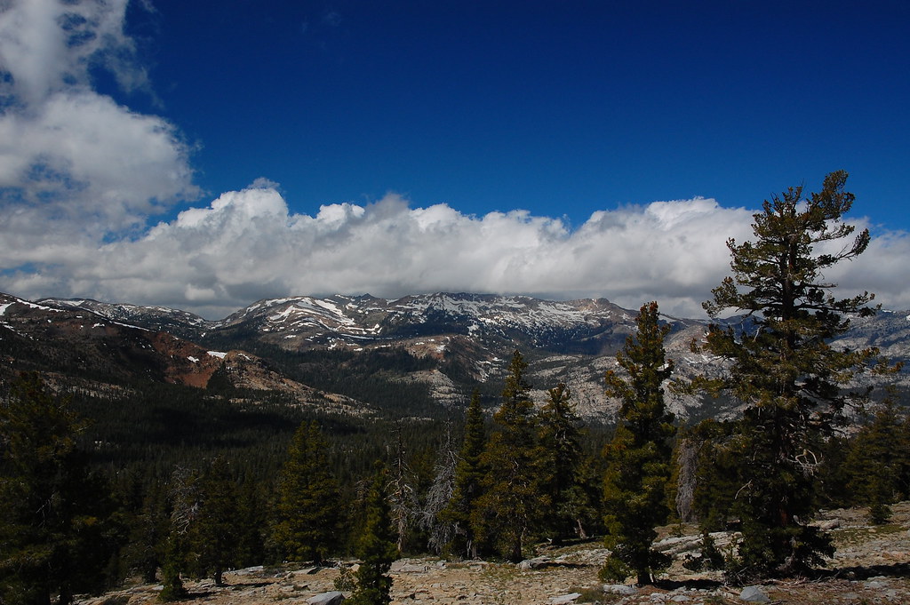 Photo: ilya_ktsn, CC BY 2.0 (via Flickr)
PACIFIC CREST TRAIL
~8 min drive
20.9-mile out-and-back on the Pacific Crest Trail in California with 3,094 ft gain/loss.
 Photo: Kurt Minard, CC BY-SA 3.0 (via Wikimedia Commons)
Mcconnell Lake Loop
~3 min drive
14-mile out-and-back out-and-back around Mcconnell Lake in California.
Photo: Kurt Minard, CC BY-SA 3.0 (via Wikimedia Commons)Schmidell
~4 min drive
1.80-mile out-and-back trail in California with 90 ft elevation gain.
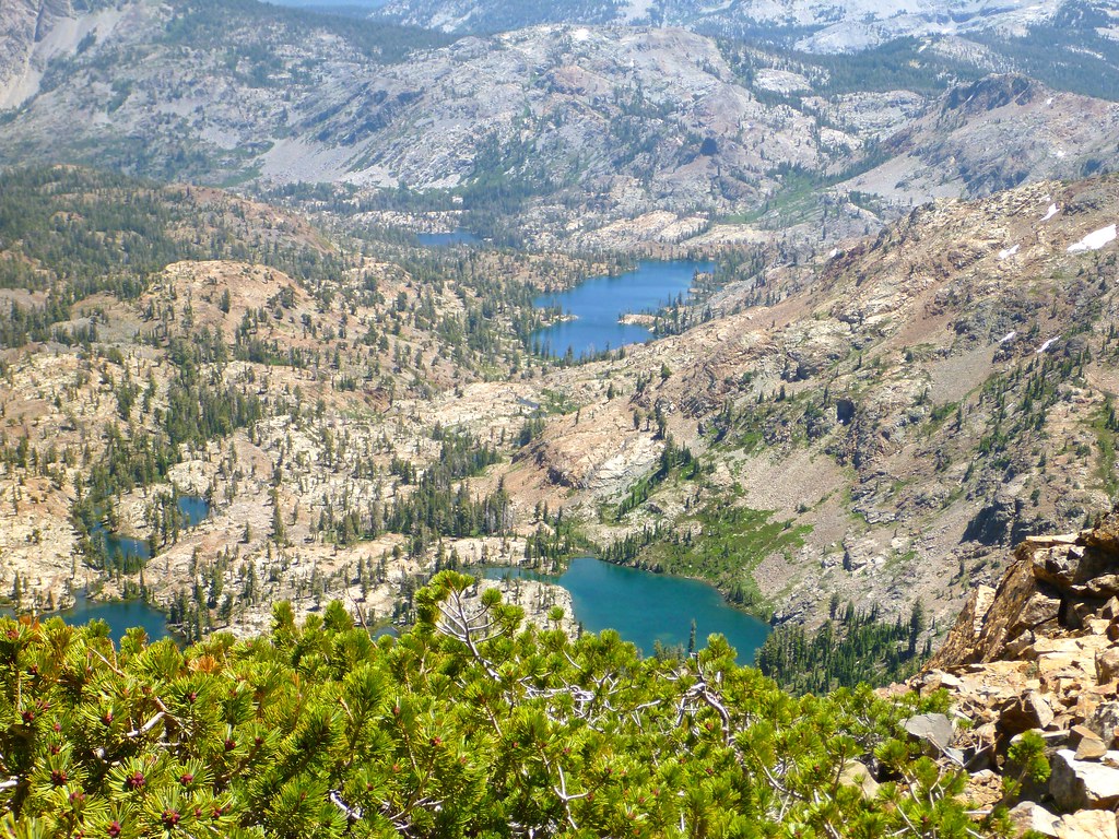 Photo: Rick McCharles, CC BY 2.0 (via Flickr)
Pacific Crest Trail
~8 min drive
3.56-mile out-and-back on the Pacific Crest Trail in California
HIKE
Red Peak (15E08.2)
~6 min drive
9.64-mile out-and-back trail in California with 2,367 ft elevation gain and loss.
HIKE
Red Peak Stock Trail
~2 min drive
7.69-mile out-and-back hike to Red Peak in California with 1,595 ft gain.
 Photo: jayarmstrong, CC BY-SA 3.0 (via Wikimedia Commons)
Clyde Lake
~7 min drive
Clyde Lake is a 1.00-mile out-and-back trail in California with 26 feet of elevation gain.
Photo: Kurt Minard, CC BY-SA 3.0 (via Wikimedia Commons)Highland
~9 min drive
5.00-mile out-and-back trail in California with 660 ft gain