Las Flores Ridge
- 0.6 mi
- round trip
- 493 ft
- climb
- 867 ft
- high point
- Out and back
- route
- Oct–Jun
- best months
Las Flores Ridge is an easy out-and-back hike in O'Neill Regional Park on county land in California. The route starts at about 867 feet and reaches a high point of 867 feet, so the climb is a small one, with a total gain of 493 feet and a loss of the same on the way back. The steepest part of the trail comes around 0.46 miles in, where the grade reaches about 20 percent. Spring and fall are the most comfortable times to go. Typical averages from a nearby weather station show April highs around 76°F and November highs around 76°F, while July and August average in the upper 80s. That station sits about 300 feet lower than the ridge, so temperatures here run a little cooler. The hike is close to several other outings. Ladera Ridge is about 0.1 mile away, and Backdraft Trail is about 0.2 mile away. Sprocket, a mountain biking area, is about 0.4 mile away. Waterworks Trail is about 0.5 mile away.
- Ladera RidgeHiking0.1 mi
- Backdraft TrailHiking0.2 mi
- SprocketMountain biking0.4 mi
- Waterworks TrailHiking0.5 mi
- Batman BoulderRock climbing7.8 mi
- Laguna BeachRock climbing9.1 mi
- Doheny State Beach CampgroundCamping9.1 mi
- Santa Ana MountainsRock climbing9.7 mi
Source: Roamze catalog (indexable pages within 10 miles, PostGIS distance)
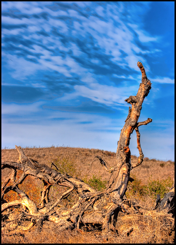 Horned Toad TrailHiking · ~2 min drivePhoto: stevetulk, CC BY 2.0 (via Flickr)
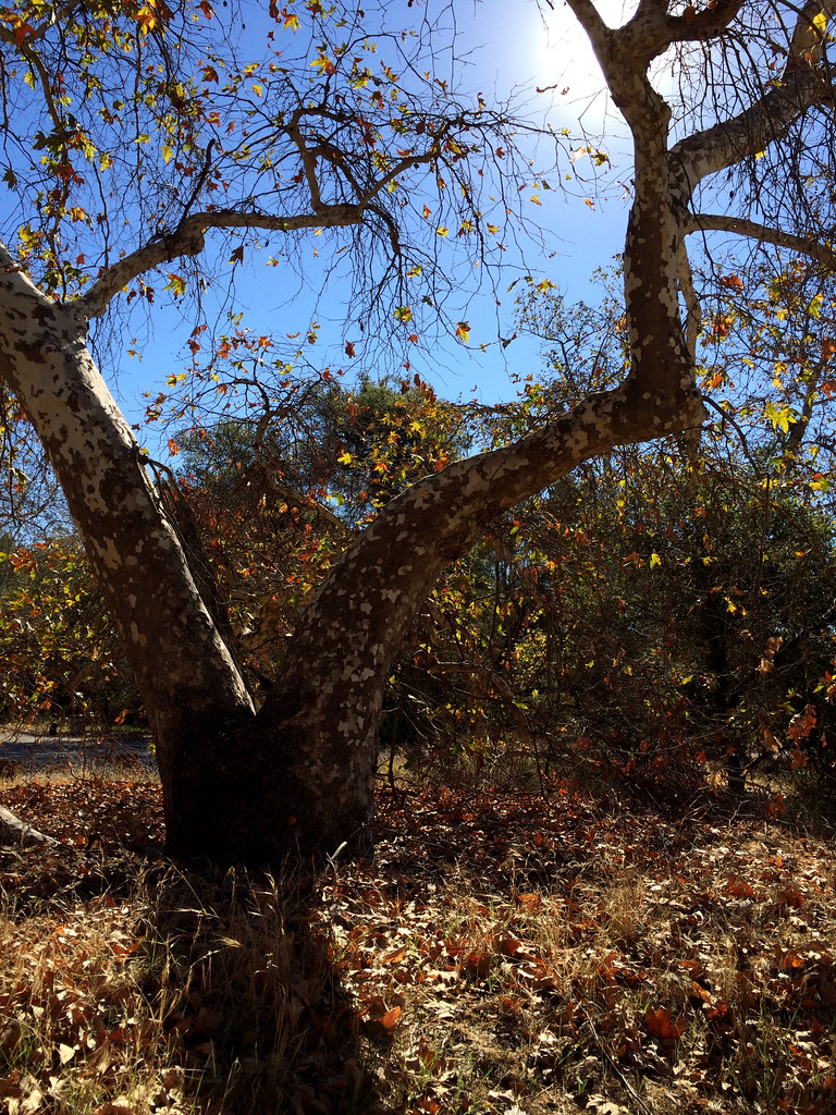 West Ridge TrailHiking · ~6 min drivePhoto: tinyfroglet, CC BY 2.0 (via Flickr)
- Tijeras Creek TrailHiking · ~2 min drive
- Vista Ridge TrailHiking · ~2 min drivePhoto: stevetulk, CC BY 2.0 (via Flickr)
- West Bank Arroyo Trabuco TrailHiking · ~2 min drive
- Westridge TrailHiking · ~2 min drive
- Mule Deer TrailHiking · ~3 min drivePhoto: stevetulk, CC BY 2.0 (via Flickr)
- Ladera Ranch TrailsHiking · ~4 min drive
- Oso TrailHiking · ~6 min drive
 Gun Club Spur TrailHiking · ~4 min drivePhoto: b r e n t, CC BY 2.0 (via Flickr)
Also worth it near here
Best time to visit Las Flores Ridge
Best months: October–June. Best months have typical highs of 55–85 °F, lows of 30 °F or warmer (32 °F where the station doesn't record snow), at most one snowy day and no more than 12 wet days.
Jan
69° / 49°
4 wet
Feb
70° / 48°
4 wet
Mar
73° / 50°
3 wet
Apr
76° / 52°
2 wet
May
79° / 56°
2 wet
Jun
82° / 59°
0 wet
Jul
88° / 62°
0 wet
Aug
90° / 62°
0 wet
Sep
89° / 62°
1 wet
Oct
84° / 58°
2 wet
Nov
76° / 53°
2 wet
Dec
68° / 48°
4 wet
Typical high / low (°F) and days with rain or snow, 1991–2020. Measured at Irvine Rch, CA, 11.3 mi away at 540 ft. This station doesn't record snowfall. Source: NOAA NCEI U.S. Climate Normals 1991–2020.
Map and trail data © OpenStreetMap contributors
