Cedar Springs Yellow Post Site
Campground
Campground · 5.5 mi from the trail
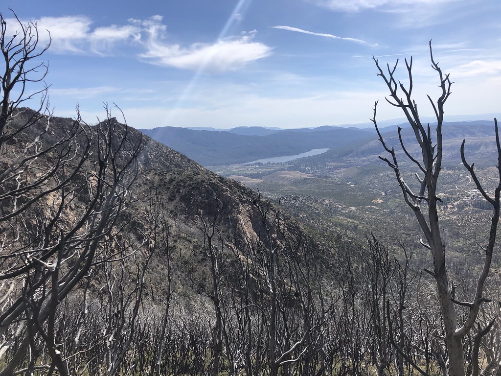
 Photo: Martin Haeusler, CC BY-SA 3.0 (via Wikimedia Commons)
Indian Potrero Trail is an easy out-and-back hike in California, about 6 miles from Cathedral City. The route is roughly 4.3 miles long, with a total elevation gain of 820 feet, and it reaches a high point of 2,009 feet. The climb is front-loaded, with the steepest stretch at about 0.96 miles in, where the grade reaches 17 percent. Winter and early spring are the most comfortable times to go. Typical averages from a nearby weather station in Palm Springs show January highs around 71°F and lows near 47°F, while summer highs climb into the 100s. That station sits well below the trail, so temperatures on the higher ground run cooler. The hike takes about two hours. Dry Wash Trail starts just 0.1 mile away, and Vandeventer Trail and East Fork Trail are both within about 2 miles. Palm Canyon Trail is about 1.7 miles off.
Cedar Springs Yellow Post Site
Campground
 If it rainsToohool, CC0 · Wikimedia Commons
Cornelia White House
Museum
Places © OpenStreetMap contributors · Photos: Toohool, CC0 (commons)
More in Desert Hot SpringsNot on Roamze yet. Their page has how to reach them.
 Dry Wash TrailHikingPhoto: Martin Haeusler, CC BY-SA 3.0 (via Wikimedia Commons)0.1 miVandeventer TrailHikingPhoto: Martin Haeusler, CC BY-SA 3.0 (via Wikimedia Commons)1 mi
 East Fork TrailHikingPhoto: Martin Haeusler, CC BY-SA 3.0 (via Wikimedia Commons)1.6 mi
 Palm Canyon TrailHikingPhoto: Martin Haeusler, CC BY-SA 3.0 (via Wikimedia Commons)1.7 mi
Source: Roamze catalog (indexable pages within 10 miles, PostGIS distance)
Victor TrailHiking · ~2 min drivePhoto: Martin Haeusler, CC BY-SA 3.0 (via Wikimedia Commons)Fern Canyon TrailHiking · ~4 min drivePhoto: Martin Haeusler, CC BY-SA 3.0 (via Wikimedia Commons) Maynard Mine TrailHiking · ~6 min drivePhoto: Richard Ricciardi, CC BY 2.0 (via Flickr)Vandeventer TrailHiking · ~2 min drivePhoto: Martin Haeusler, CC BY-SA 3.0 (via Wikimedia Commons)
 Cathedral TrailHiking · ~5 min drivePhoto: Rainhead, CC BY-SA 2.0 (via Flickr)
 Spitler PeakHiking · ~9 min drivePhoto: Rick McCharles, CC BY 2.0 (via Flickr)Victor TrailHiking · ~2 min drivePhoto: Martin Haeusler, CC BY-SA 3.0 (via Wikimedia Commons)
 Garstin TrailHiking · ~7 min drivePhoto: lamblukas, CC BY 2.0 (via Flickr)
 South Lykken TrailHiking · ~11 min drivePhoto: bdearth — CC BY 2.0 (via Flickr)
Best months: November–March. Best months have typical highs of 55–85 °F, lows of 30 °F or warmer (32 °F where the station doesn't record snow), at most one snowy day and no more than 12 wet days.
Jan
71° / 47°
Feb
73° / 49°
Mar
80° / 54°
Apr
88° / 59°
May
94° / 65°
Jun
103° / 72°
Jul
108° / 78°
Aug
108° / 79°
Sep
102° / 73°
Oct
91° / 64°
Nov
78° / 54°
Dec
69° / 45°
Typical high / low (°F) and days with rain or snow, 1991–2020. Measured at Palm Springs, CA, 7.9 mi away at 425 ft. The station sits about 1,600 ft lower than this place, so expect it a little cooler here. Source: NOAA NCEI U.S. Climate Normals 1991–2020.
Map and trail data © OpenStreetMap contributors

