Homer Mountain Trail
- 5.5 mi
- round trip
- 721 ft
- climb
- 2,381 ft
- high point
- Out and back
- route
- Nov–Mar
- best months
Homer Mountain Trail is a 10.9-mile out-and-back hike on Bureau of Land Management land in the Needles Field Office of California's BLM. The trail begins at about 1,866 feet and climbs to a high point of 2,381 feet, a 707-foot gain over the course of the route. It is a hard hike, and the rolling climb makes it a test of endurance rather than a straightforward ascent. The most comfortable months are the cooler ones. A nearby weather station in Needles records typical average highs of about 71°F in February and 66°F in January. That station sits well below the trail, so temperatures on the higher ground run cooler. The closest nearby option is the Old Cable Trail, about 8 miles away.
Local outfitters
- Sunrise Adventures Ridgeview Resort18 mi away
- Settlin Inn RV Park32 mi away
Not on Roamze yet. Their page has how to reach them.
Source: Roamze catalog (indexable pages within 10 miles, PostGIS distance)
 Conservation TrlHiking · ~19 min drivePhoto: TerryDOtt, CC BY 2.0 (via Flickr)
- Rock SpringHiking · ~51 min drive
- Old Cable TrailHiking · ~13 min drive
- Little Piute Trail NorthHiking · ~54 min drive
 Big Sandy LoopHiking · ~19 min drivePhoto: Ken Lund, CC BY-SA 2.0 (via Flickr)
- Little Piute TrailHiking · ~46 min drive
- Little Piute Trail SouthHiking · ~54 min drive
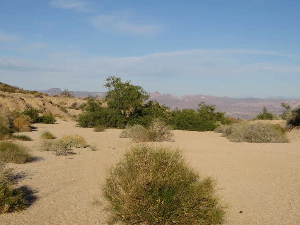 Grapevine Canyon TrailHiking · ~25 min drivePhoto: Ken Lund, CC BY-SA 2.0 (via Flickr)
- Needles to Ludlow Truck TrailHiking · ~47 min drive
- Desert View TrailHiking · ~58 min drive
Best time to visit Homer Mountain Trail
Best months: November–March. Best months have typical highs of 55–85 °F, lows of 30 °F or warmer (32 °F where the station doesn't record snow), at most one snowy day and no more than 12 wet days.
Jan
66° / 46°
3 wet
Feb
71° / 49°
3 wet
Mar
79° / 54°
3 wet
Apr
87° / 61°
1 wet
May
96° / 70°
1 wet
Jun
106° / 80°
1 wet
Jul
110° / 87°
2 wet
Aug
109° / 85°
2 wet
Sep
103° / 77°
2 wet
Oct
89° / 65°
1 wet
Nov
75° / 53°
2 wet
Dec
64° / 45°
2 wet
Typical high / low (°F) and days with rain or snow, 1991–2020. Measured at Needles Ap, CA, 22.8 mi away at 890 ft. The station sits about 1,500 ft lower than this place, so expect it a little cooler here. Source: NOAA NCEI U.S. Climate Normals 1991–2020.


Map and trail data © OpenStreetMap contributors
