Enroute Camping
Campground
Campground · 4.8 mi from the trail
Hiddenbrooke Trail is a 1.54-mile moderate hike in Hiddenbrooke Open Space, a city-managed open space in California. The trail is an out-and-back route that starts at about 989 feet and reaches a high point of 1,017 feet, with a total climb of 1,310 feet over the round trip. The steepest stretch comes early, around 0.27 miles in, with a grade of about 14%. Spring and fall are the most comfortable times to go. Typical averages from a nearby weather station in Vallejo show April highs around 73°F and October highs around 79°F, while July and August average in the mid-80s. That station sits well below the trail, so temperatures on the higher ground run cooler. The Hiddenbrooke Connector Trail, a mountain biking route, lies about 0.3 miles away. Blue Rock Springs Trail and Prairie Ridge Trail are both about 2.1 miles off, and Kestrel Trail is about 2.3 miles away.
Enroute Camping
Campground
Art collection and museum in Napa, California
Places © OpenStreetMap contributors, Places © Overture Maps Foundation
More in TemelecNot on Roamze yet. Their page has how to reach them.
Daily highs and lows, wind and the chance of precipitation at the summit and route start for the next 7 days, from the Open-Meteo model.
Source: Roamze catalog (indexable pages within 10 miles, PostGIS distance)
 Rollye Wilkerson TrailHiking · ~8 min drivePhoto: Shockingly Tasty, CC BY-SA 2.0 (via Flickr)
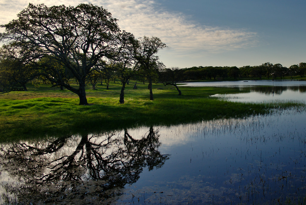 Unknown TrailHiking · ~12 min drivePhoto: Tom Hilton, CC BY 2.0 (via Flickr)
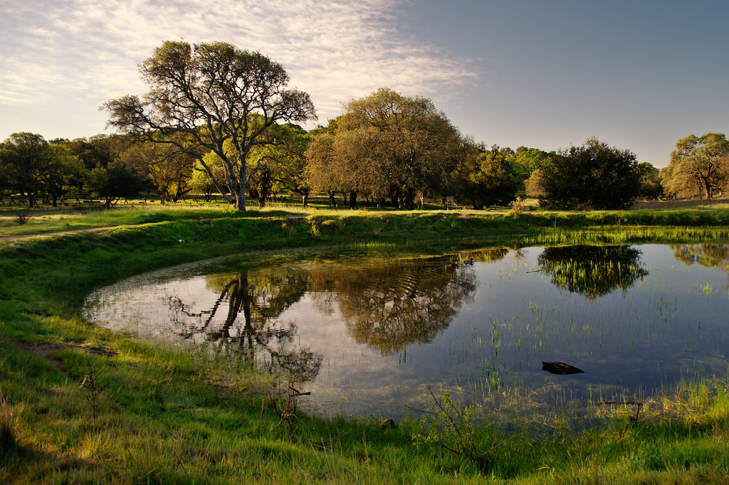 Green Valley TrailHiking · ~11 min drivePhoto: Tom Hilton, CC BY 2.0 (via Flickr)Black Oak TrailHiking · ~12 min drivePhoto: Tom Hilton, CC BY 2.0 (via Flickr)
 Linear Bike TrailHiking · ~12 min drivePhoto: Kai Schreiber from Jersey City, USA, CC BY-SA 2.0 (via Wikimedia Commons)Outside LoopHiking · ~12 min drivePhoto: Tom Hilton, CC BY 2.0 (via Flickr)Upper Tilley LoopHiking · ~12 min drivePhoto: Tom Hilton, CC BY 2.0 (via Flickr)
Best months: October–July. Best months have typical highs of 55–85 °F, lows of 30 °F or warmer (32 °F where the station doesn't record snow), at most one snowy day and no more than 12 wet days.
Jan
57° / 42°
Feb
63° / 45°
Mar
68° / 46°
Apr
73° / 47°
May
78° / 51°
Jun
83° / 54°
Jul
85° / 56°
Aug
86° / 56°
Sep
86° / 56°
Oct
79° / 54°
Nov
66° / 47°
Dec
58° / 42°
Typical high / low (°F) and days with rain or snow, 1991–2020. Measured at Vallejo, CA, 3.4 mi away at 341 ft. The station sits about 700 ft lower than this place, so expect it a little cooler here. This station doesn't record snowfall. Source: NOAA NCEI U.S. Climate Normals 1991–2020.
About 1.5 mi round trip.
About 1,310 ft of climbing round trip.
It is rated moderate.
About 1 hour round trip.
Map and trail data © OpenStreetMap contributors
