Bootjack Campground
Campground
Campground · 3.6 mi from the trail
 Photo: Dana L. Brown, CC BY-SA 2.0 (via Flickr)
Hidden Meadow Trail is a short, easy out-and-back hike in California, managed by the Regional Water Districts. The trail is about 0.7 miles long, with a total elevation gain of about 295 feet, and it reaches a high point of 529 feet. The climb is front-loaded, with the steepest stretch at about 0.5 miles in, where the grade reaches 13 percent. The most comfortable months for a visit are late spring and early fall. Typical averages from a nearby weather station in Kentfield show May highs around 74°F and October highs around 76°F, with only a few wet days in each. That station sits well below the trail, so temperatures on the higher ground run cooler. The hike takes about half an hour. Three other trails, Six Points Trail, Bald Hill Trail and Madrone Trail, all lie about 0.4 miles away. Climbers can find Lakeview Boulders about 2.2 miles off.
Bootjack Campground
Campground
 If it rainsasmartalec, CC BY 2.0 · Wikimedia Commons
Places © OpenStreetMap contributors, Places © Overture Maps Foundation · Photos: asmartalec, CC BY 2.0 (commons)
More in TemelecNot on Roamze yet. Their page has how to reach them.
Bald Hill TrailHikingPhoto: Dana L. Brown, CC BY-SA 2.0 (via Flickr)0.4 mi Madrone TrailHikingPhoto: lamblukas, CC BY 2.0 (via Flickr)0.4 mi
 Lagunitas CreekCanoeingPhoto: Stepheng3, Public domain (via Wikimedia Commons)9.7 mi
Source: Roamze catalog (indexable pages within 10 miles, PostGIS distance)
Bald Hill TrailHiking · Next doorPhoto: Dana L. Brown, CC BY-SA 2.0 (via Flickr)Madrone TrailHiking · Next doorPhoto: lamblukas, CC BY 2.0 (via Flickr) Shadyside TrailHiking · ~2 min drivePhoto: Jesse Wagstaff, CC BY 2.0 (via Flickr)
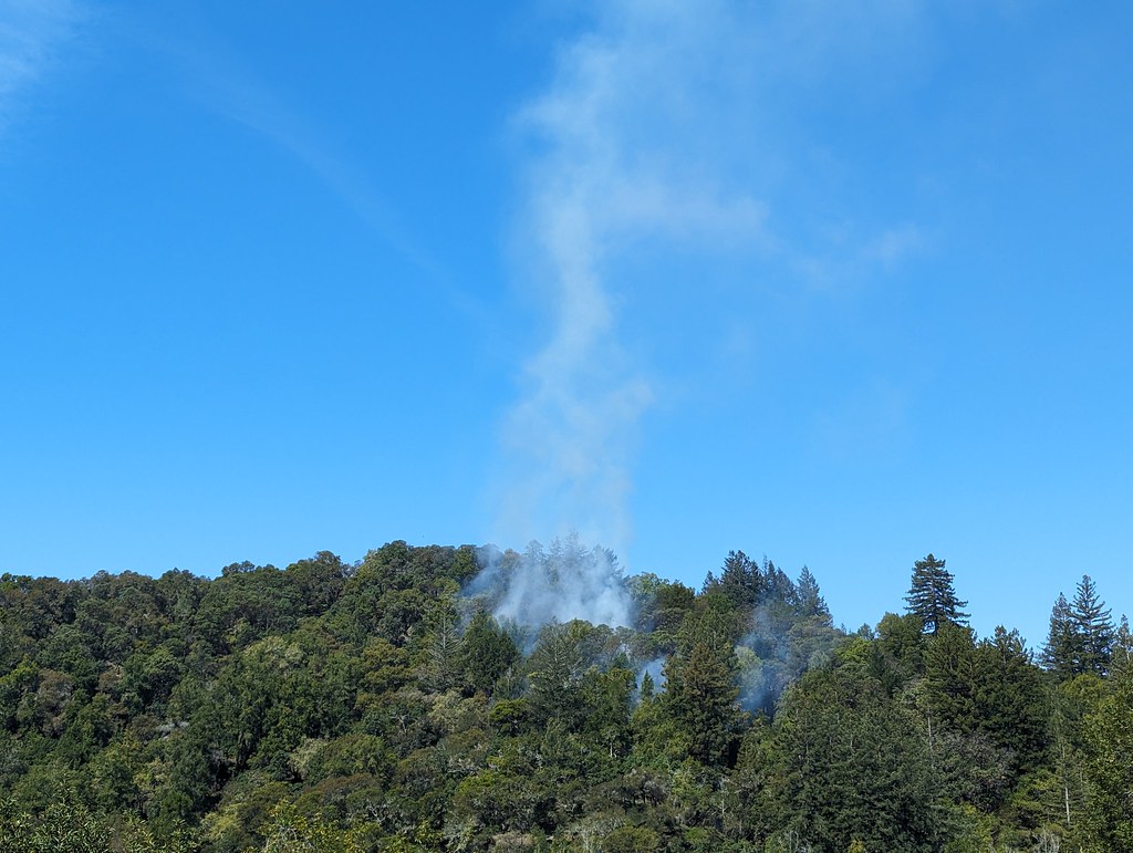 Elliot TrailHiking · Next doorPhoto: Jesse Wagstaff, CC BY 2.0 (via Flickr)
 Gertrude Ord TrailHiking · Next doorPhoto: Jesse Wagstaff, CC BY 2.0 (via Flickr)
 Northside TrailHiking · ~3 min drivePhoto: lamblukas, CC BY 2.0 (via Flickr)
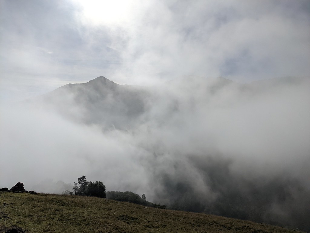 Fish Gulch TrailHiking · Next doorPhoto: Jesse Wagstaff, CC BY 2.0 (via Flickr)Pine Point TrailHiking · ~1 min drivePhoto: lamblukas, CC BY 2.0 (via Flickr)
 PumpkinTrailHiking · ~1 min drivePhoto: Jesse Wagstaff, CC BY 2.0 (via Flickr)
 Yolanda TrailHiking · ~2 min drivePhoto: Jesse Wagstaff, CC BY 2.0 (via Flickr)
Best months: Year-round. Best months have typical highs of 55–85 °F, lows of 30 °F or warmer (32 °F where the station doesn't record snow), at most one snowy day and no more than 12 wet days.
Jan
57° / 42°
11 wet
Feb
61° / 43°
11 wet
Mar
65° / 44°
10 wet
Apr
69° / 46°
6 wet
May
74° / 50°
4 wet
Jun
80° / 52°
1 wet
Jul
83° / 53°
0 wet
Aug
83° / 54°
0 wet
Sep
82° / 53°
1 wet
Oct
76° / 50°
4 wet
Nov
64° / 45°
8 wet
Dec
56° / 42°
11 wet
Typical high / low (°F) and days with rain or snow, 1991–2020. Measured at Kentfield, CA, 2.5 mi away at 145 ft. Source: NOAA NCEI U.S. Climate Normals 1991–2020.
Map and trail data © OpenStreetMap contributors


