Volcanic Tablelands BLM
Campground
Campground · 1.8 mi from the trail
 Photo: Kunstee, CC BY 2.0 (via Flickr)
Happy Boulders Trail is an easy out-and-back hike in California, set on city land. The route is about 1.9 miles long and gains roughly 400 feet in elevation, with the highest point at about 4,579 feet. The climb starts steeply, with a front-loaded profile that peaks at about 24% grade within the first fifth of a mile, before easing into a gentler return. Spring and fall are the most comfortable times to go. Typical averages from a nearby weather station in Bishop show April highs around 74°F and October highs near 78°F, while July averages about 100°F. The station sits a few hundred feet below the trail, so expect it to run slightly cooler up top. The trail sits just 0.1 mile from the Clapper Area and Clapper Boulder climbing areas, making it an easy pairing with a bouldering session. For overnight stays, Pleasant Valley Pit Campground is about 3.6 miles away, and Horton Creek Campground lies roughly 7.5 miles off.
Volcanic Tablelands BLM
Campground
Paiute-Shoshone Indian Cultural Center
Museum
Places © OpenStreetMap contributors, Places © Overture Maps Foundation
More in BishopNot on Roamze yet. Their page has how to reach them.
 Bishop CreekCanoeingPhoto: Photographersnature, CC BY-SA 3.0 (via Wikimedia Commons)8.1 mi
Source: Roamze catalog (indexable pages within 10 miles, PostGIS distance)
 Lower Rock Creek Trail, Section 3Hiking · ~17 min drivePhoto: The Wandering God, CC BY-SA 2.0 (via Flickr)
 EgyptHiking · ~17 min drivePhoto: Dicklyon, CC BY-SA 4.0 (via Wikimedia Commons)
 Mount TomHiking · ~21 min drivePhoto: mjhbower, CC BY-SA 2.0 (via Flickr)Horton LakesHiking · ~21 min drivePhoto: mjhbower, CC BY-SA 2.0 (via Flickr)
 Upper Grey Eagle Mine TrailHiking · ~22 min drivePhoto: Kurt Minard, CC BY-SA 3.0 (via Wikimedia Commons)
 Pine Creek PassHiking · ~24 min drivePhoto: GSEC, CC BY 2.0 (via Flickr)
 Merriam PeakHiking · ~24 min drivePhoto: GSEC, CC BY 2.0 (via Flickr)
 SAND CANYON TRAILHiking · ~23 min drivePhoto: GSEC, CC BY 2.0 (via Flickr)
 Gable LakesHiking · ~24 min drivePhoto: GSEC, CC BY 2.0 (via Flickr)
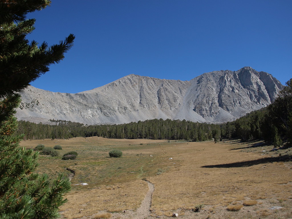 Dorothy Lake Loop TrailHiking · ~25 min drivePhoto: Jim Morefield, CC BY-SA 2.0 (via Flickr)
Best months: April–May and October. Best months have typical highs of 55–85 °F, lows of 30 °F or warmer (32 °F where the station doesn't record snow), at most one snowy day and no more than 12 wet days.
Jan
56° / 24°
4 wet
Feb
59° / 26°
4 wet
Mar
67° / 31°
3 wet
Apr
74° / 37°
2 wet
May
83° / 44°
2 wet
Jun
94° / 51°
1 wet
Jul
100° / 57°
1 wet
Aug
98° / 54°
1 wet
Sep
90° / 47°
1 wet
Oct
78° / 37°
1 wet
Nov
64° / 27°
2 wet
Dec
55° / 22°
3 wet
Typical high / low (°F) and days with rain or snow, 1991–2020. Measured at Bishop Ap, CA, 5.7 mi away at 4,102 ft. This station doesn't record snowfall. Source: NOAA NCEI U.S. Climate Normals 1991–2020.
Map and trail data © OpenStreetMap contributors
