Furman Park Walking Trail
- 0.5 mi
- loop
- 25 ft
- climb
- 138 ft
- high point
- Loop
- route
- Jan–Dec
- best months
Clear today
Weather is good · OpenWeather · checked 8 h ago
Furman Park Walking Trail is a short loop of 0.54 miles in Furman Park, on city land in California. The route is flat, with a total elevation gain of 25 feet, and the climb is rated easy. It makes for a quick outing, with the loop's high point at 138 feet and the start at 124 feet, so the trip is about as close to level as you can get. Spring and fall are the most comfortable times to go. Typical averages from a nearby weather station show highs around 74°F in May and 79°F in October, with few wet days. Midsummer is hotter, with highs near 84°F in August. The trail takes about half an hour to complete. The closest options for extending a visit are the Bellflower Bike Path, about 4 miles away, and the Rio Hondo River Trail, about 5 miles away. Farther out are the Sycamore Canyon Trail and the Rio Hondo San Gabriel River Trail Connector, both roughly 6.7 miles away.
- Bellflower Bike PathHiking4.1 mi
- Rio Hondo River TrailHiking5.2 mi
 Sycamore Canyon TrailHikingPhoto: lavocado@sbcglobal.net, CC BY 2.0 (via Flickr)6 mi
- Peppergrass TrailHiking6.4 mi
- Rattlesnake Ridge TrailHiking6.7 mi
- Rio Hondo San Gabriel River Trail ConnectorHiking6.7 mi
 Rio HondoCanoeingPhoto: Cromagnom, CC BY-SA 3.0 (via Wikimedia Commons)6.7 mi
 Compton Creek Walking PathHikingPhoto: lavocado@sbcglobal.net, CC BY 2.0 (via Flickr)6.8 mi
Source: Roamze catalog (indexable pages within 10 miles, PostGIS distance)
- Sycamore Canyon TrailHiking · ~10 min drivePhoto: lavocado@sbcglobal.net, CC BY 2.0 (via Flickr)
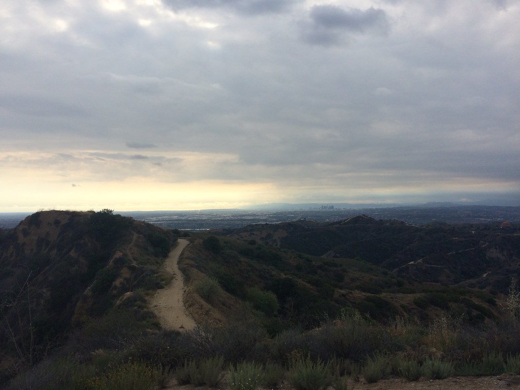 Workman Ridge TrailHiking · ~12 min drivePhoto: sergei.gussev, CC BY 2.0 (via Flickr)
- Rio Hondo River TrailHiking · ~9 min drive
- Compton Creek Walking PathHiking · ~12 min drivePhoto: lavocado@sbcglobal.net, CC BY 2.0 (via Flickr)
 Mariposa TrailHiking · ~12 min drivePhoto: sergei.gussev, CC BY 2.0 (via Flickr)
 Dark Canyon TrailHiking · ~12 min drivePhoto: sergei.gussev, CC BY 2.0 (via Flickr)
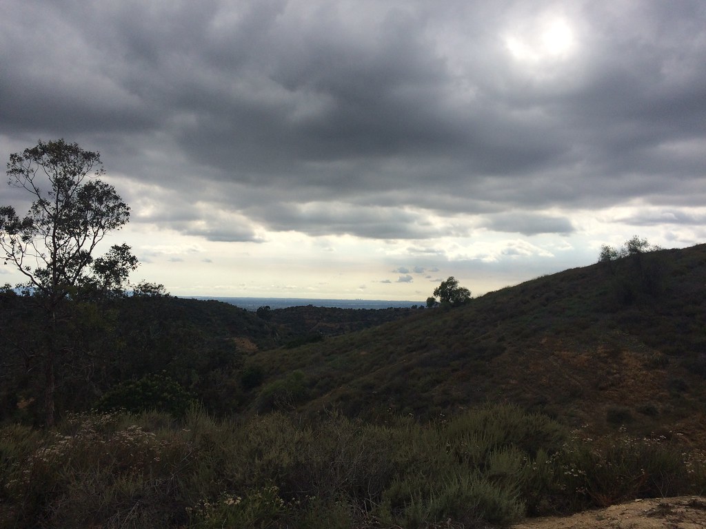 Bob Henderson Loop TrailHiking · ~14 min drivePhoto: sergei.gussev, CC BY 2.0 (via Flickr)
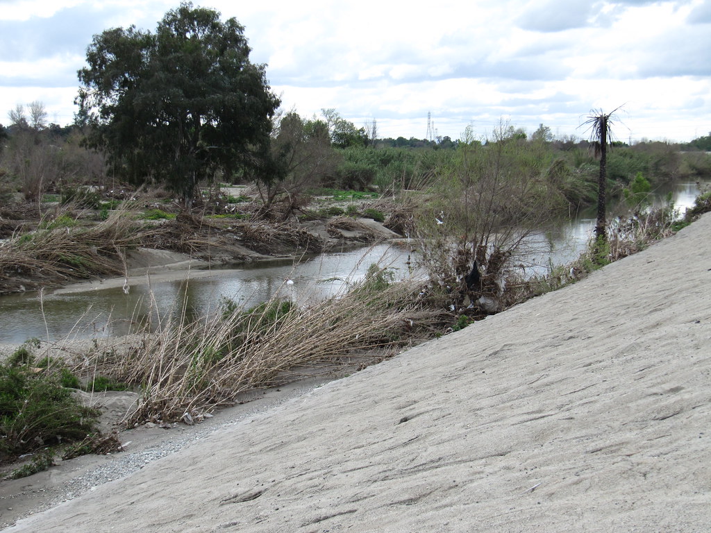 Whittier Narrows Nature Center TrailHiking · ~12 min drivePhoto: tardigrade, CC BY 2.0 (via Flickr)
 Worsham Canyon TrailHiking · ~14 min drivePhoto: sergei.gussev, CC BY 2.0 (via Flickr)
 Peppergrass TrailHiking · ~12 min drivePhoto: sergei.gussev, CC BY 2.0 (via Flickr)
Best time to visit Furman Park Walking Trail
Best months: Year-round. Best months have typical highs of 55–85 °F, lows of 30 °F or warmer (32 °F where the station doesn't record snow), at most one snowy day and no more than 12 wet days.
Jan
68° / 49°
6 wet
Feb
68° / 50°
6 wet
Mar
70° / 52°
5 wet
Apr
72° / 55°
3 wet
May
74° / 58°
2 wet
Jun
77° / 61°
1 wet
Jul
82° / 65°
0 wet
Aug
84° / 65°
0 wet
Sep
83° / 64°
1 wet
Oct
79° / 60°
2 wet
Nov
73° / 53°
3 wet
Dec
67° / 48°
5 wet
Typical high / low (°F) and days with rain or snow, 1991–2020. Measured at Los Angeles Dwtn Usc Campus, CA, 8.7 mi away at 230 ft. This station doesn't record snowfall. Source: NOAA NCEI U.S. Climate Normals 1991–2020.

Map and trail data © OpenStreetMap contributors
